.jpg)
Massive fault-block mountain rising above the high desert, featuring dramatic cliffs, sweeping vistas, alpine lakes, and one of the most scenic remote drives in the region.
Steens Mountain Loop Road typically accessible from late June through October depending on snow conditions
No entrance fee required
Frenchglen, OR (approx. 5 miles)
How to Get There
From Burns (60 mi): Drive south on OR-205 toward Frenchglen, then follow signs for Steens Mountain Loop Road, which climbs into the mountain’s upper elevations and provides access to viewpoints and trailheads.
Overview
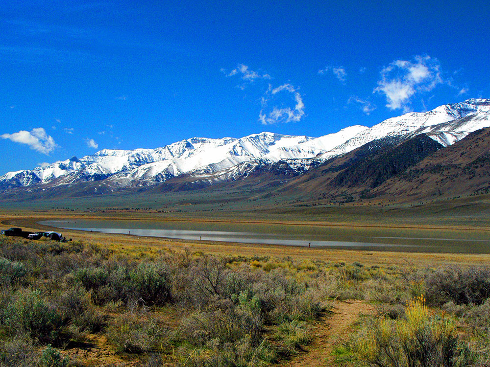
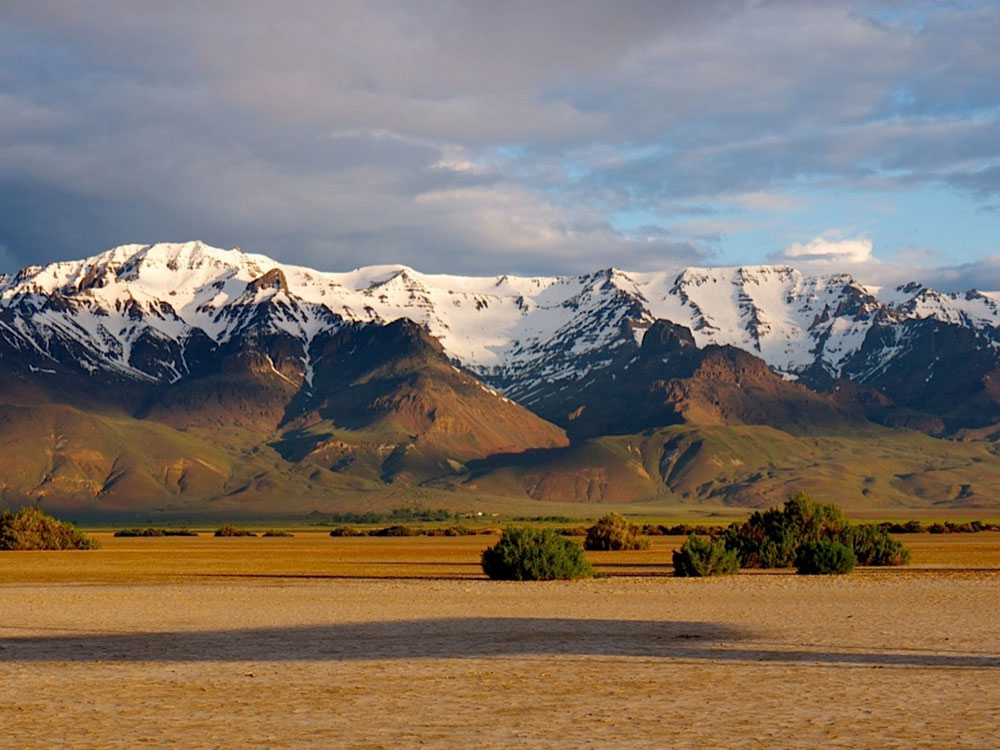
The Steens Mountain area is one of Oregon’s most dramatic and remote landscapes, where a massive fault-block mountain rises sharply from the surrounding desert valleys. Stretching for over 50 miles, the range features towering escarpments, deep glacial gorges, and high-elevation plateaus that contrast sharply with the arid terrain below. The eastern face drops abruptly thousands of feet, creating one of the most striking geologic formations in the Pacific Northwest.
Visitors can explore the region via the scenic Steens Mountain Loop Road, which winds through a variety of ecosystems including sagebrush steppe, alpine meadows, and aspen groves. Along the way, viewpoints overlook expansive basins and glacial valleys carved during the Ice Age. Wildlife, wildflowers, and seasonal streams add to the richness of the landscape, while the remote setting provides a sense of solitude rarely found in more developed destinations. The mountain stands as a testament to the power of geological forces and the enduring beauty of Oregon’s high desert.
This article uses material from the Wikipedia articles and official tourism pages for the Steens Mountain and the Bureau of Land Management Steens Mountain page, which are released under the Creative Commons Attribution-Share-Alike License 3.0.
.jpg)
-1000.jpg)
-1000.jpg)
-1000.jpg)
-1000.jpg)
-1000.jpg)
-1000.jpg)
-1000.jpg)