.jpg)
Walter Siegmund, CC BY-SA 4.0, via Wikimedia Commons; Image Size Adjusted
From Portland (60 mi): Take I-84 E toward The Dalles, then merge onto US-26 E and follow it southeast directly to Government Camp and the Mount Hood recreation areas.
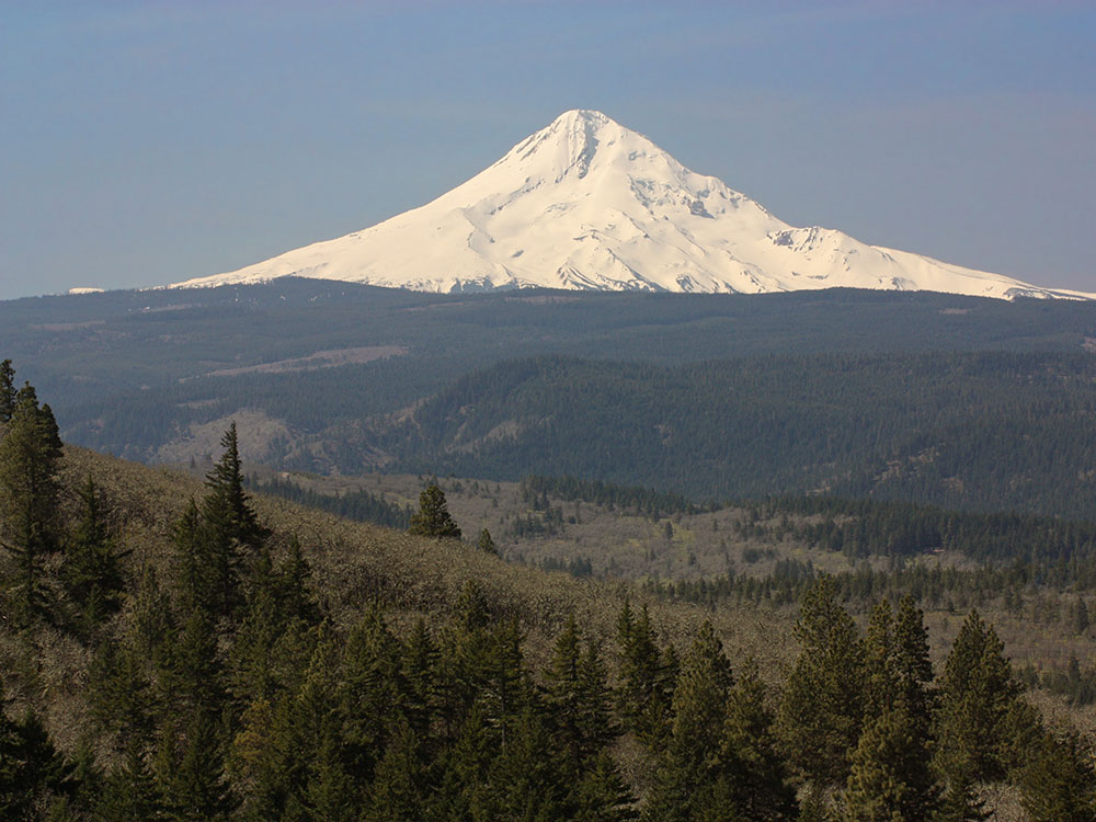
Mount Hood is a potentially active stratovolcano located about 50 miles (80 km) east-southeast of Portland. In addition to being Oregon's highest mountain, it is one of the loftiest mountains in the nation based on its prominence, and it offers the only year-round lift-served skiing in North America.
Mount Hood is Oregon's highest point and a prominent landmark visible up to 100 miles (160 km) away. It has convenient access and a minimum of technical climbing challenges. About 10,000 people attempt to climb Mount Hood each year. There are no trails to the summit. Even the "easier" southside climbing route is a technical climb with crevasses, falling rocks, and often inclement weather. Ropes, ice axes, crampons and other technical mountaineering gear are necessary. Peak climbing season is generally from April to mid-June.
There are six main routes to approach the mountain with about 30 total variations for summiting. The climbs range in difficulty from class 2 to class 5.9+.The most popular route, dubbed the south route, begins at Timberline Lodge and proceeds up Palmer Glacier to Crater Rock, the large prominence at the head of the glacier. The route goes east around Crater Rock and crosses the Coalman Glacier on the Hogsback, a ridge spanning from Crater Rock to the approach to the summit. The Hogsback terminates at a bergschrund where the Coalman Glacier separates from the summit rock headwall, and then to the Pearly Gates, a gap in the summit rock formation, then right onto the summit plateau and the summit proper.
The Timberline Trail, which circumnavigates the entire mountain and rises as high as 7,300 ft (2,200 m), was built in the 1930s by the Civilian Conservation Corps. Typically, the 40.7-mile (65.5 km) hike is snow-free from late July until the autumn snows begin. A portion of the Pacific Crest Trail is coincident with the Timberline Trail on the west side of Mount Hood.
Timberline Lodge Viewpoint:
Classic close-up views of the mountain with alpine scenery and year-round snowfields.
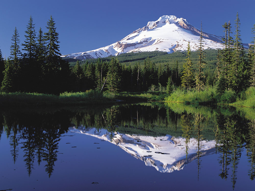
Trillium Lake:
One of the most photographed reflection views of the mountain, especially at sunrise and during fall colors.
Jonsrud Viewpoint:
Easy roadside overlook with panoramic mountain views above the Sandy River Valley.
Lookout Mountain:
High-elevation hiking viewpoint with sweeping vistas of the mountain and Cascade Range.
Lost Lake:
Calm lake offering iconic reflections and excellent sunset photography.
Vista Ridge Trail:
Dramatic ridgeline scenery with expansive mountain perspectives.
Lolo Pass Road Overlooks:
Scenic drive featuring multiple forest clearings and wide mountain views.
Mount Hood Meadows Scenic Area:
Expansive eastern-side views with summer wildflowers and winter ski scenery.
Cloud Cap / Cooper Spur:
Rugged north-side perspective with glacier and volcanic terrain views.
Mirror Lake:
Popular short hike ending with reflective lake views framed by the mountain.
The mountain has six ski areas: Timberline, Mount Hood Meadows, Ski Bowl, Cooper Spur, Snow Bunny, and Summit. They total over 4,600 acres (7.2 sq mi; 19 km2) of skiable terrain; Timberline, with one lift having a base at nearly 6,940 ft (2,120 m), offers the only year-round lift-served skiing in North America.
This article uses material from the Wikipedia article "Mount Hood", which is released under the Creative Commons Attribution-Share-Alike License 3.0