All-American Road on a section of U.S. Route 212 in Montana and Wyoming between Red Lodge and the Northeast entrance of Yellowstone National Park
General Information
From the West - Gardiner, MT
From the East (Red Lodge, MT) - from Billings (62 miles): Get on I-90 W from S 27th St. Follow I-90 W and US-212 W to Broadway Ave N in Red Lodge.
From the West (North Yellowstone NP Entrance) - from Bozeman (81 miles): Take W Babcock St to E Main St. Follow I-90 E/US-191 N to US-89 S.
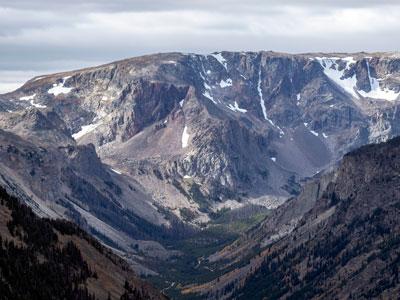
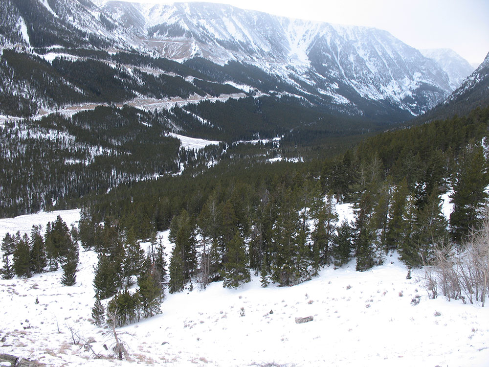
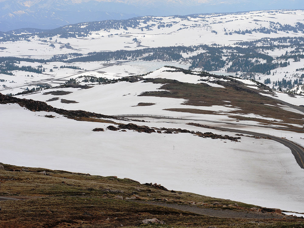
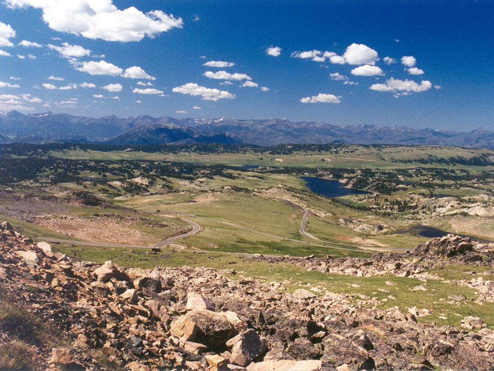
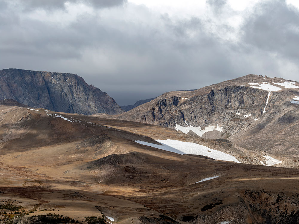
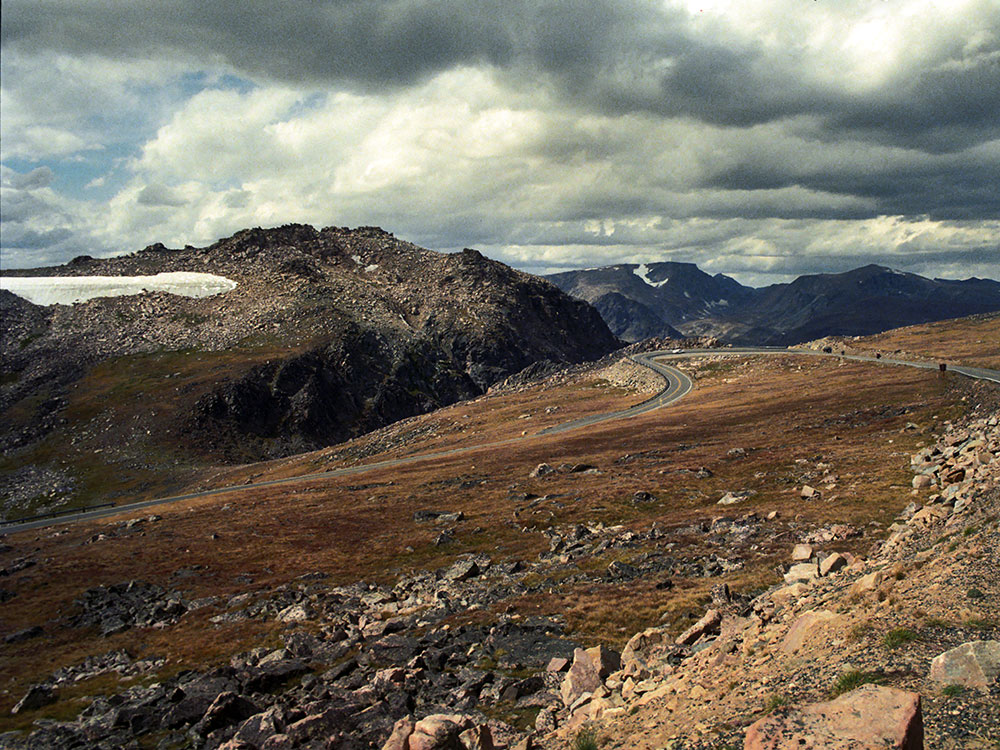
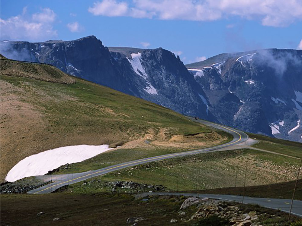
The Beartooth Highway is an All-American Road on a section of U.S. Route 212 in Montana and Wyoming between Red Lodge and the Northeast entrance of Yellowstone National Park, passing over the Beartooth Pass in Wyoming at 10,947 feet (3,337 m) above sea level. It has been called one of the most beautiful drives in America. Because of heavy snowfall at the top, the pass is usually open each year only from mid May through mid October, weather conditions permitting.
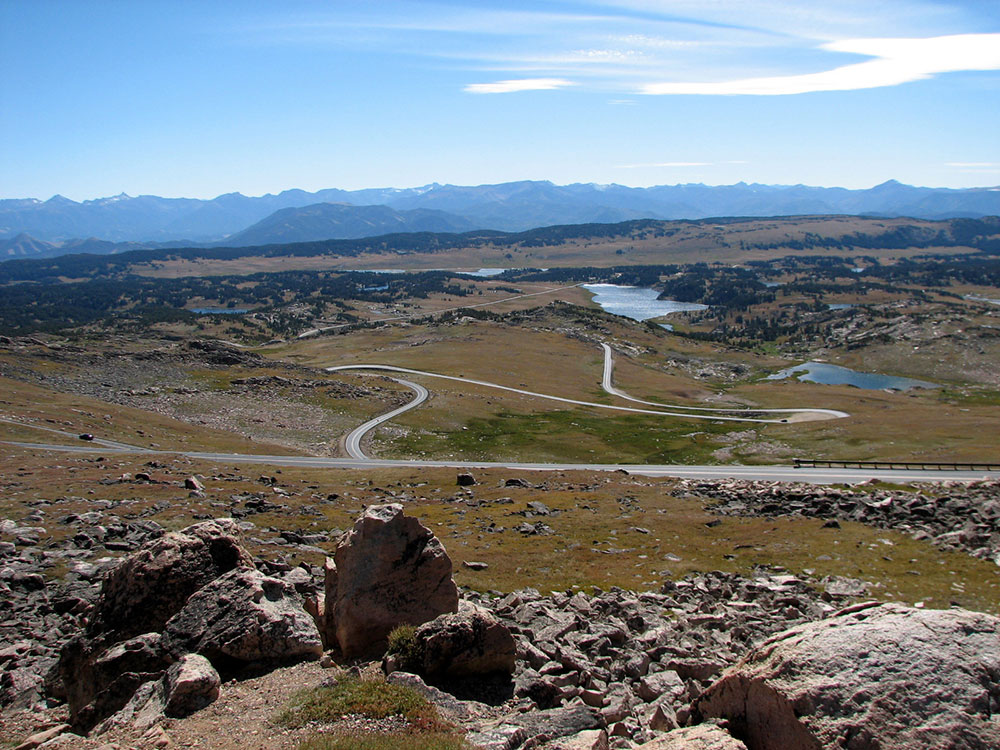
The Beartooth Highway is the section of U.S. Route 212 between Red Lodge and Cooke City, Montana. It traces a series of steep zigzags and switchbacks, along the Montana-Wyoming border to the 10,947-foot-high (3,337 m) Beartooth Pass in Wyoming. The approximate elevation rise is from 5,200 ft (1,600 m) to 10,947 ft (3,337 m) in 12 mi (19 km) in the most daring landscapes.
When driving east to west, the highest parts of the Beartooth Highway level off into a wide plateau near the top of the pass, then descend to the junction with Wyoming Highway 296 (Chief Joseph Scenic Byway) near Cooke City, the northeast gateway to Yellowstone National Park. On the way one passes numerous lakes typical of the Absaroka-Beartooth Wilderness Area which borders the highway along much of its route.
The highway officially opened June 14, 1936.
Snowstorms can occur even in the middle of the summer at this altitude, and the pass is also known for strong winds and severe thunderstorms. Drivers should plan on a driving time of at least two hours for the 69-mile (111 km) trip from Red Lodge to Cooke City. It is a good idea to check with the Red Lodge Chamber of Commerce or the Beartooth Ranger District beforehand in case of road closures. Montana Traveler Information and Wyoming Travel Information Service both provide online information on Beartooth Highway travel conditions for their respective portions of the highway.
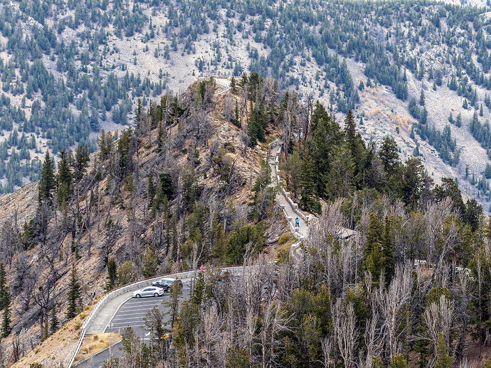
The Beartooth Highway passes through portions of Custer, Shoshone, and Gallatin national forests, and near the Absaroka-Beartooth Wilderness.
The U.S. highway number, and also the connecting highway 296, it is not maintained by the Wyoming Department of Transportation or the U.S. Forest Service, with WYDOT stating it does not meet standards for Wyoming state highways. It is instead maintained by the National Park Service, despite not being part of the park (like the Foothills Parkway or Skyline Drive) or being its own unit (like the Blue Ridge Parkway and Natchez Trace Parkway). The Montana Department of Transportation does maintain its portions in Custer and Gallatin national forests at the east and west ends of the highway, respectively.
Neither MDT nor NPS perform snow removal except for once in the spring, typically in May, but sometimes not until June if there has been heavy snowfall. Once the road does open, the Beartooth Basin Ski Area opens at the state line at Beartooth Pass, for a short summer-only season that lasts until July.
In August 1872, the pass was crossed by Civil War General Philip Sheridan and 120 men returning from an inspection tour of Yellowstone National Park. Rather than take the long detour down the Clarks Fork Yellowstone River to return to Billings, Sheridan took the advice of an old hunter named Shuki Greer, who claimed intimate knowledge of the Beartooth Mountains. When the road was opened in 1936, it essentially followed Sheridan's route over the pass.
This article uses material from the Wikipedia article "Beartooth Highway", which is released under the Creative Commons Attribution-Share-Alike License 3.0
_(15306100637)-1000.jpg)
_(15306100637).jpg)