BLMIdaho, Public domain, via Wikimedia Commons; Image Size Adjusted
A high‑elevation historic corridor characterized by rugged terrain, natural vistas, and deep cultural significance rooted in early exploration history.
From Butte, MT (117 mi): Take I‑15 S toward Idaho, continue to ID‑28 S near Salmon, then follow forest roads east toward Tendoy to reach the pass.
Overview
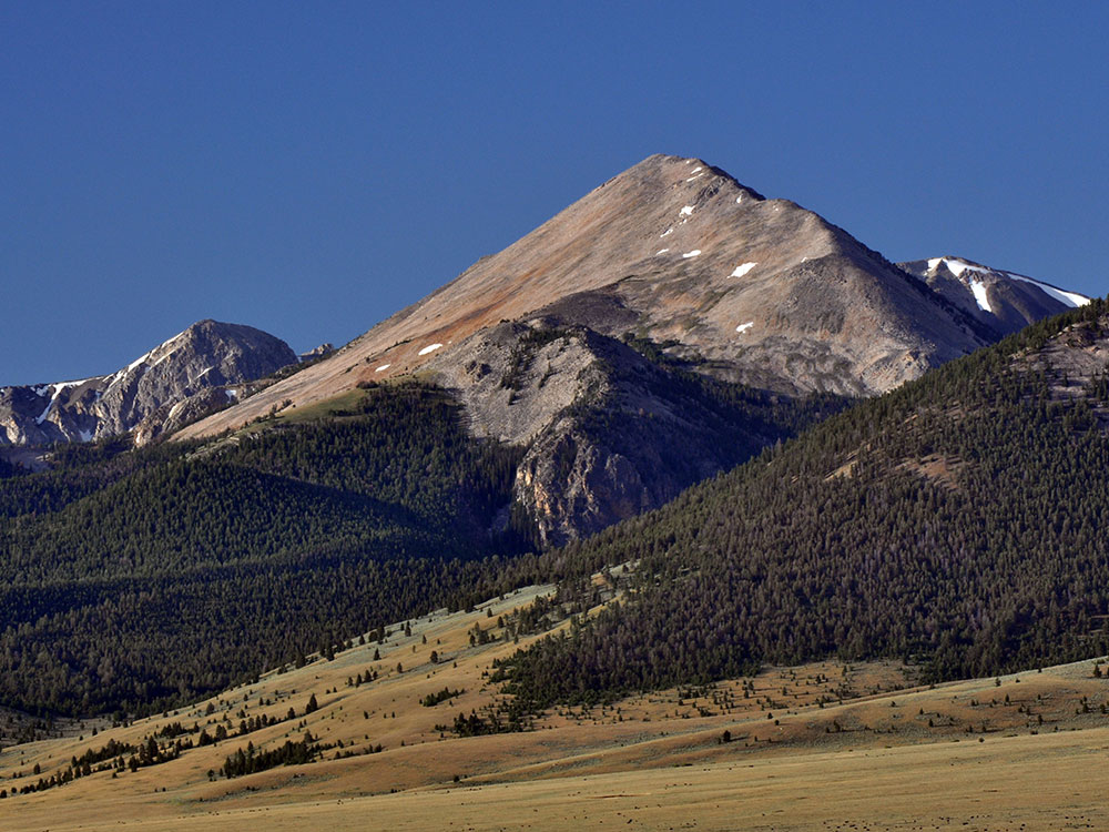
The historic mountain corridor stands as one of the most culturally significant crossings along the Continental Divide, where early explorers once navigated rugged terrain shaped by millennia of natural forces. Visitors today encounter a landscape that remains strikingly similar to the environment witnessed by those who first chronicled its passage—sweeping sagebrush plains, dense conifer stands, and distant ranges capped with seasonal snow. Interpretive signs placed during the warmer months help illuminate the stories of the Indigenous communities and early expeditions that traveled this narrow high point, offering modern explorers a rare chance to step directly into the past.
Despite its profound heritage, the area retains its remote and undeveloped character, allowing travelers to experience an unfiltered encounter with the natural world. Gravel roads approach the summit, revealing wide-open views of the Bitterroot Mountains and the rugged horizon that once challenged expeditions seeking routes across the continent. Changing weather—from sudden summer storms to unexpected snow—adds to the sense of adventure. For those who appreciate history and untouched wilderness, this high divide offers an evocative and enduring window into the story of exploration and human resilience.
.jpg)
-1000.jpg)
-1000.jpg)
-1000.jpg)
-1000.jpg)
-1000.jpg)
-1000.jpg)
.jpg)
.jpg)
.jpg)
.jpg)
.jpg)