
National reserve and state park known for its enormous granite rock formations and excellent rock climbing
General Information
Visitor Center
Peak Season
Open daily 8am to 4:30pm
Off-peak
Tuesdays to Saturdays 8am to 4:30pm
From Salt Lake City, UT (166 miles): Get on I-15 N. Follow I-15 N and I-84 W to UT-30 W in Box Elder County. Take exit 5 from I-84 W. Continue on UT-30 W. Take UT-42 W and E Naf Rd S to 3400 S/S Twin Sisters Rd in Cassia County.
Overview
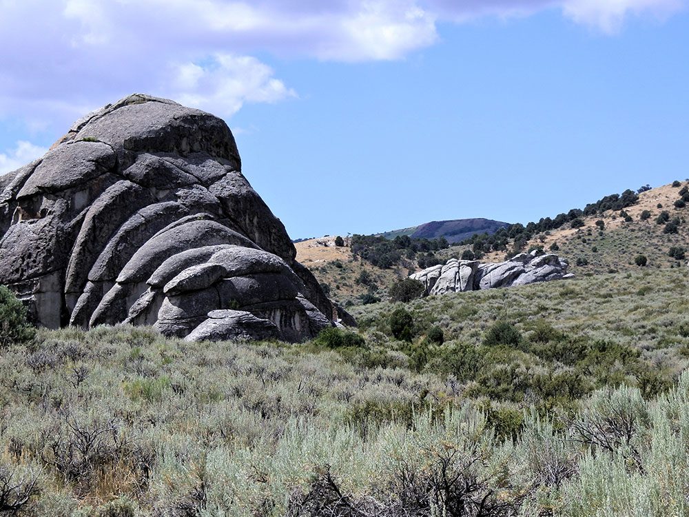
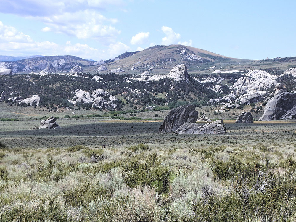
City of Rocks National Reserve in south-central Idaho, near the Utah border, is a landscape of granite spires and domes rising from sagebrush country in the southern Albion Mountains. It is a world-class climbing area with more than 1,000 routes, and the California Trail passed through here in the 1840s and 1850s. The National Park Service and Idaho State Parks manage it, and it became a National Reserve in 1988. Elevations run from 5,650 to 8,867 feet at Graham Peak.
Highlights
- Register Rock: emigrants' names written in axle grease are still visible, and wagon ruts can be seen in the rock
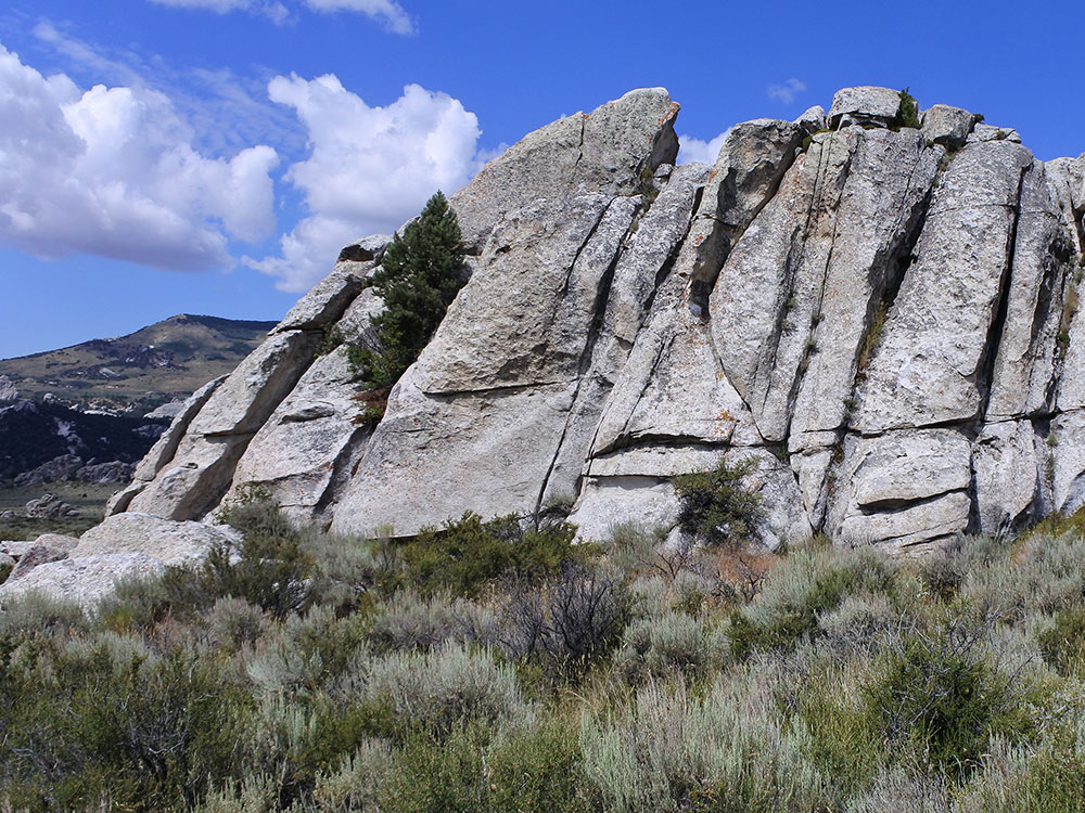
- Rock climbing: granite from the 28-million-year-old Almo pluton, with a few spires as old as 2.5 billion years, weathered by exfoliation
- Neighbors: Castle Rocks State Park, next door, has similar rock spires
Things to Do
Explore One of America's Premier Rock Climbing Destinations
City of Rocks National Reserve is a stunning landscape of towering granite spires, monoliths, domes, and rock formations located in southern Idaho near the Utah border. The reserve is internationally recognized for its world-class rock climbing, scenic hiking, rich pioneer history, and spectacular high-desert scenery.
Discover the Historic California Trail
During the mid-1800s, thousands of emigrants traveling westward on the California Trail passed through City of Rocks. Many left names and messages carved into the granite formations, some of which remain visible today. The reserve offers visitors an opportunity to experience a landscape largely unchanged since the pioneer era.
Experience World-Class Rock Climbing
City of Rocks is considered one of the top climbing destinations in North America. Climbers of all skill levels come to the reserve to tackle hundreds of routes on granite formations featuring cracks, faces, and multi-pitch climbs surrounded by breathtaking scenery.
Enjoy Scenic Drives and Wildlife Viewing
The reserve's network of roads provides access to spectacular viewpoints, historic landmarks, campgrounds, and trailheads. Visitors may encounter mule deer, pronghorn, golden eagles, hawks, and other wildlife while exploring the area's unique landscape.
Top Trails
City of Rocks Loop Trail
Length: Approximately 6 miles loop
Elevation Gain: Approximately 800 feet
Difficulty: Moderate
This scenic route showcases many of the reserve's most famous granite formations while providing panoramic views of the surrounding valleys and mountains. The trail offers an excellent overview of the area's unique geology and natural beauty.
Window Arch Trail
Length: Approximately 1 mile round trip
Elevation Gain: Minimal
Difficulty: Easy
A family-friendly hike leading to Window Arch, one of the reserve's most popular natural features. The trail provides excellent views and opportunities for photography among the granite formations.
Bath Rock Trail
Length: Approximately 0.5 miles round trip
Elevation Gain: Minimal
Difficulty: Easy
This short trail circles Bath Rock, a massive granite monolith that served as a landmark for California Trail emigrants. Interpretive signs explain the area's history, geology, and pioneer significance.
Twin Sisters Trail
Length: Approximately 2 miles round trip
Elevation Gain: Approximately 300 feet
Difficulty: Easy to Moderate
This trail leads visitors to the impressive Twin Sisters formations and provides beautiful views of the reserve's granite spires, valleys, and high-desert environment.
This article uses material from the Wikipedia article and official pages for nps.gov, parksandrecreation.idaho.gov, cityofrocks.org, City of Rocks National Reserve, released under the Creative Commons Attribution-Share-Alike License 3.0.