Highest mountain in the state of Idaho, with a trail to the summit
General Information
Idaho Falls, 140 miles
From Salt Lake City (317 miles): Get on I-15 S in Blackfoot from US-93 S and US-26 E. Follow I-15 S to 400 S in Salt Lake City. Take exit 307 from I-15 S. Follow 400 S to S Main St.
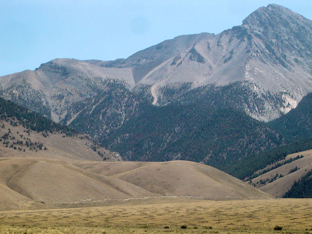
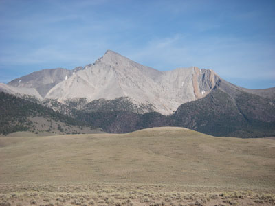
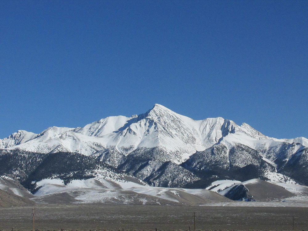
Borah Peak, also known as Mount Borah or Beauty Peak, is the highest mountain in the U.S. state of Idaho. It is located in the central section of the Lost River Range, within the Challis National Forest in eastern Custer County.

The mountain was nameless until it was discovered to be higher than Hyndman Peak, previously regarded as the state's highest point. In February 1934, the U.S. Geological Survey named it for William Borah, the prominent senior U.S. Senator from Idaho, who had served for nearly 27 years at the time and was dean of the Senate.
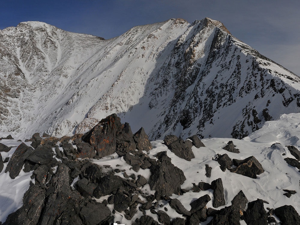
The normal route involves ascending 5,262 vertical feet (1,604 m) from the trailhead to the summit in just over 3.5 miles (5.6 km). This route on the southwest ridge, the most popular route, is a strenuous hike for the most part until one reaches a Class 4 arête just before the main summit crest. This point is known as Chickenout Ridge as many people will abort the attempt once they see the hazards up close. In the cooler seasons this crossing usually involves a traverse over snow, with steeply slanting slopes on either side. An ice axe, and the ability to use it, is recommended for this section when icy.
Borah Peak's north face is one of Idaho's only year-round snow climbs and provides a much greater challenge than the normal route. The face features a number of grade II class 5 routes on mixed terrain.
The climb starts at an elevation of about 7400 feet. The trail takes off from the trailhead turn-around area and goes up the sagebrush/grass slope to the ridge. The route ascends over 5200 feet elevation to the summit in less than 3 ½ miles of trail.
The real climb begins as this trail goes up the brutally steep west ridge of Borah. Emerging above timberline, the route continues to follow this ridge which is not as steep as the initial climb and after a short distance, reaches another steep portion which involves scrambling, "Chicken Out Ridge". This knife-like ridge with the more dangerous slope to the north side involves using both hands as well as feet to maneuver over and around the rocks. The route continues to follow the ridge and crosses a steep couloir that is usually draped with packed snow. (Some do not follow the ridge but use a trail through the shale on the north side of the ridge after crossing the couloir - snowfield. The shale is not stable and will shift down causing you to scramble a few feet back up to the trail.) The trail curves around to the north ascending the steep south ridge and slope of Borah Peak.
This article uses material from the Wikipedia article "Borah Peak", which is released under the Creative Commons Attribution-Share-Alike License 3.0
This article uses material from the fs.usda.gov website "Borah Peak"
Featured Locations and Trails

Jeff P from Berkeley, CA, USA, CC BY 2.0, via Wikimedia Commons; Image Size Adjusted
Mount Borah Trail
8.2 miles round-trip, 5,301 feet

