Highest mountain in Vermont known for having the appearance of a elongated human profile, with distinct forehead, nose, lips, chin, and Adam's apple
General Information
Access via state parks and trailheads is generally from sunrise to sunset
Seasonal road and facility closures may occur due to weather
Day-use fees apply at access points within Vermont State Parks such as Underhill State Park
Burlington, VT (approximately 20 mi)
How to Get There
From Stowe, VT (6 mi): Take VT‑108 South (Mountain Road) toward Smugglers’ Notch or Underhill access points, follow signs for Mount Mansfield trailheads or Underhill State Park, and park at designated trailhead lots.
Overview
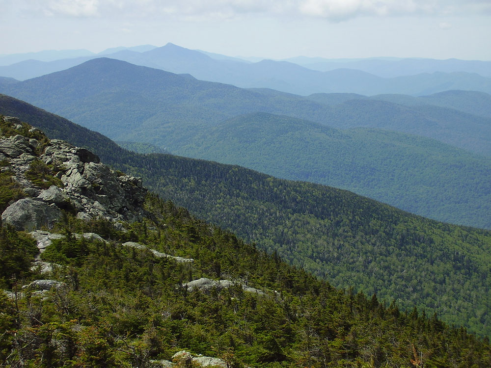
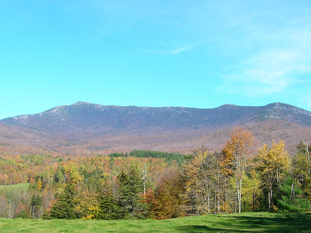
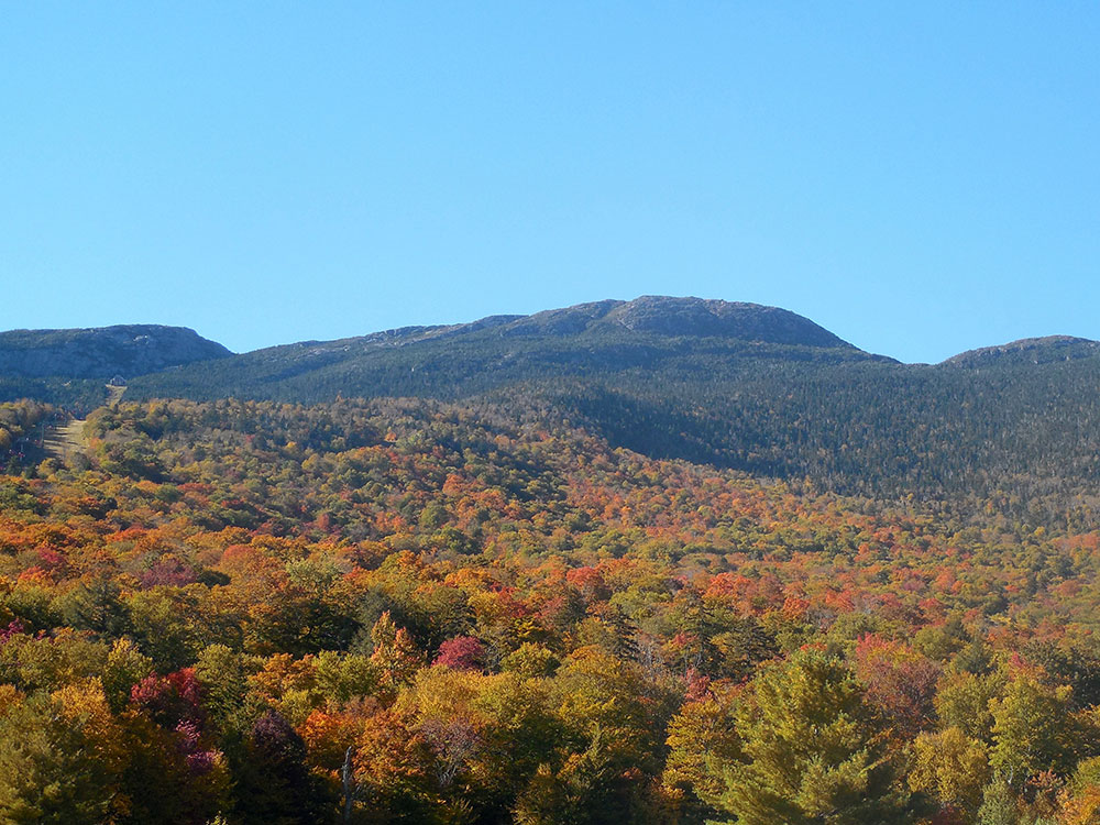
Mount Mansfield is the highest mountain in Vermont with a summit that peaks at 4,395 feet (1,340 m) above sea level. The summit is located within the town of Underhill in Chittenden County; the ridgeline, including some secondary peaks, extends into the town of Stowe in Lamoille County, and the mountain's flanks also reach into the town of Cambridge.
When viewed from the east or west, this mountain has the appearance of a (quite elongated) human profile, with distinct forehead, nose, lips, chin, and Adam's apple. These features are most distinct when viewed from the east; unlike most human faces, the chin is the highest point.
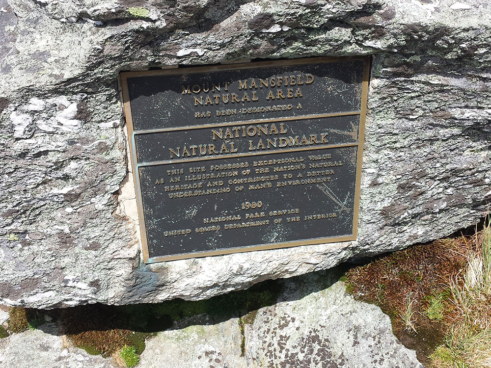
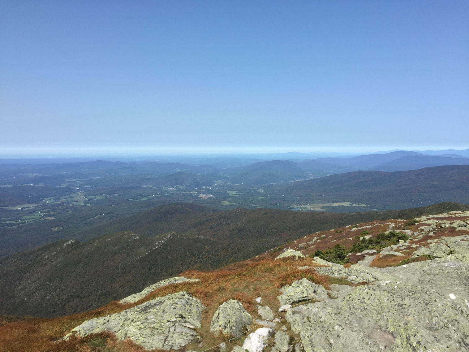
Mount Mansfield is one of three spots in Vermont where true alpine tundra survives from the Ice Ages. A few acres exist on Camel's Hump and Mount Abraham nearby and to the south, but Mount Mansfield's summit still holds about 200 acres (81 ha). In 1980, the Mount Mansfield Natural Area was designated as a National Natural Landmark by the National Park Service.
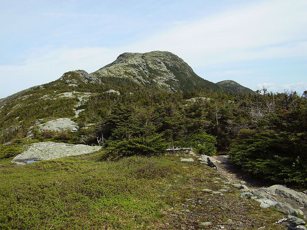
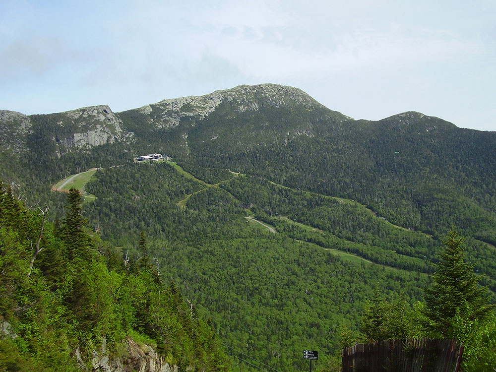
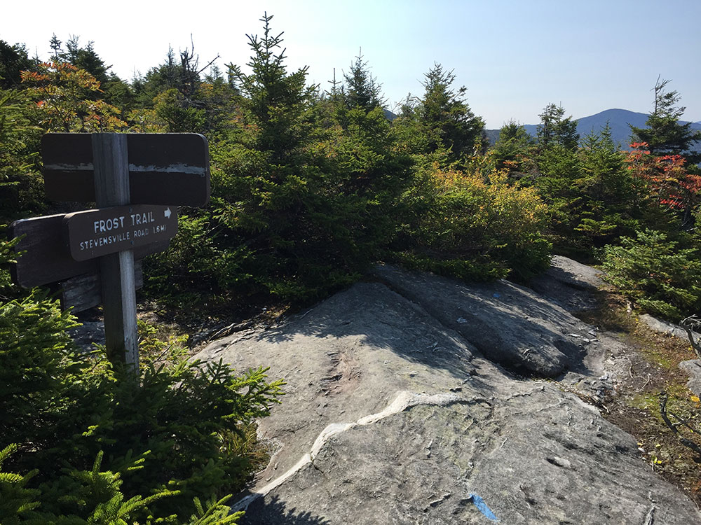
Located in Mount Mansfield State Forest, the mountain is used for various recreational and commercial purposes. "The Nose" is home to transmitter towers for a number of regional radio and TV stations. There are many hiking trails, including the Long Trail, which traverses the main ridgeline. In addition, the east flank of the mountain is used by the Stowe Mountain Resort for winter skiing. A popular tourist activity is to take the toll road (about 4 miles (6.4 km), steep, mostly unpaved, with several hairpin turns) from the Stowe Base Lodge to "The Nose" and hike along the ridge to "The Chin."
The dominant bedrock of Mt. Mansfield is a mica-albite-quartz schist common to the Green Mountains. Layers of quartzite are found locally. The soils, mostly podzol, are stony with fine-earth fractions grading through textures of fine sandy loam, loam and silt loam; they are mapped mostly as Londonderry, Lyman, Peru and Tunbridge series with considerable areas of Rock Outcrop around the summit.
This article uses material from the Wikipedia article "Mount Mansfield", which is released under the Creative Commons Attribution-Share-Alike License 3.0
_within_Mount_Mansfield_State_Forest_in_Underhill,_Chittenden_County,_Vermont.jpg)