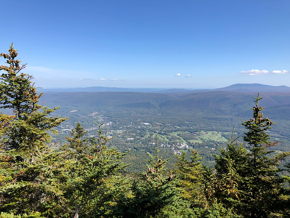
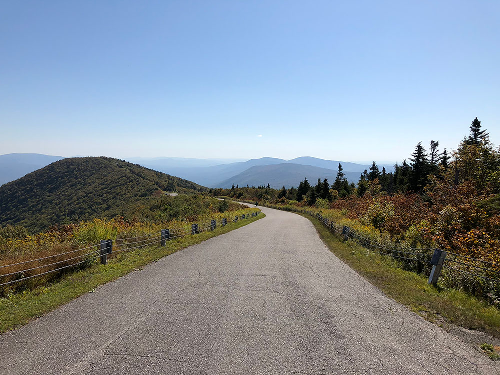
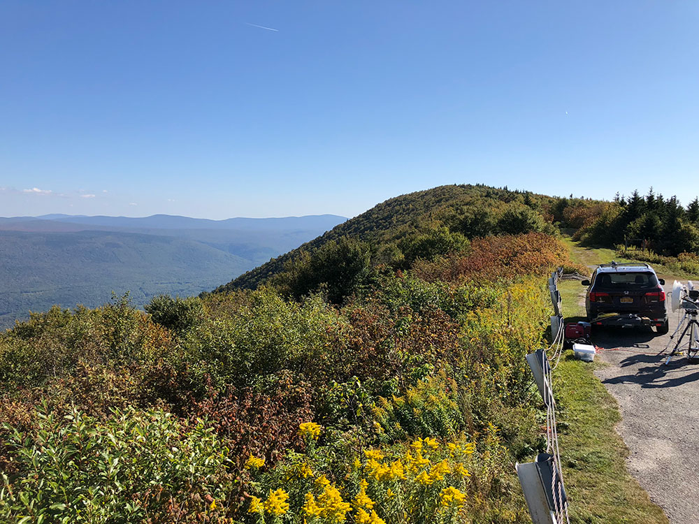
Scenic drive across the highest peak of the Taconic Range and the second highest peak in southern Vermont
General Information
Daily: 9:00am to 5:00pm
Last vehicle admitted at 4:00pm; Welcome Center closes at 5:00pm
Passenger vehicles: approximately $25 per vehicle
Additional per‑passenger fee may apply
Arlington, VT (approximately 4 mi)
How to Get There
From Manchester, VT (6 mi): Take VT‑7A South toward Arlington, continue approximately 6 miles, and watch for signs for Mount Equinox Skyline Drive; stop at the Welcome Center on Route 7A to begin the drive to the summit.
Overview
Equinox Mountain is a mountain in Manchester, Vermont and is the highest peak of the Taconic Range, and the highest point of Bennington County. It is one of thirteen peaks in Vermont with a topographic prominence over 2,000 feet (610 m), ranked third behind Mansfield and Killington. Equinox is the second highest peak in southern Vermont, after Stratton Mountain.
The Taconic Range ridgeline continues to the north from Equinox Mountain as Mother Myrick Mountain and south as Red Mountain; it is flanked to the west by Bennetts Ridge and Bear Mountain, also of the Taconic Range, and to the east by the western escarpment and plateau of the Green Mountains, across the Batten Kill valley. The southeast side of Equinox Mountain drains into the Batten Kill, thence into the Hudson River, and into New York Harbor. The northwest side of Equinox drains into the Green River, a tributary of the Batten Kill.
This article uses material from the Wikipedia article "Equinox Mountain", which is released under the Creative Commons Attribution-Share-Alike License 3.0