Natural freshwater lake mainly within the borders of the U.S. in Vermont and New York
General Information
Access points, parks, beaches, and facilities around the lake have seasonal hours
Fees may apply at specific state parks, beaches, boat launches, and attractions
How to Get There
From Burlington, VT: Follow signs to the Burlington Waterfront via College Street or Main Street from downtown Burlington to access Lake Champlain, waterfront parks, beaches, and marinas along the shoreline.
Overview
Lake Champlain is a natural freshwater lake mainly within the borders of the United States (in the states of Vermont and New York) but also across the Canada-U.S. border into Quebec.
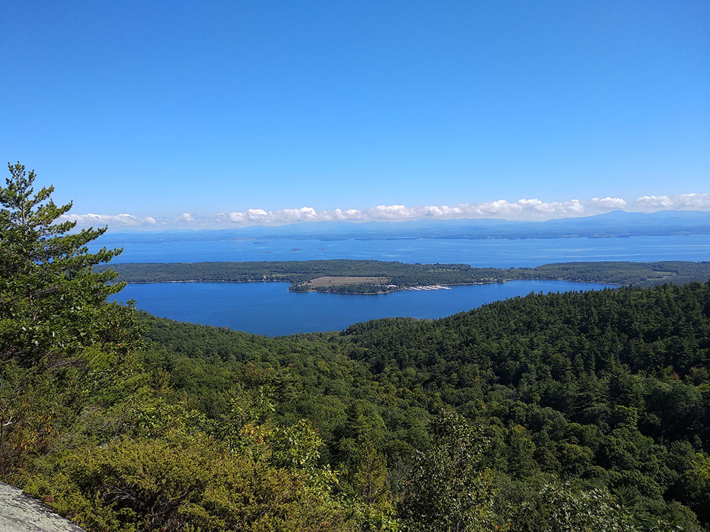
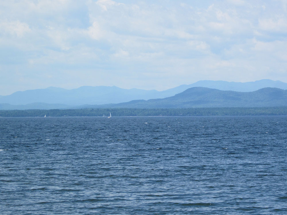
The New York portion of the Champlain Valley includes the eastern portions of Clinton County and Essex County. Most of this area is part of the Adirondack Park. There are recreational facilities in the park and along the relatively undeveloped coastline of Lake Champlain. The cities of Plattsburgh, New York and Burlington, Vermont are on the lake's western and eastern shores, respectively, and the Town of Ticonderoga, New York is in the region's southern part. The Quebec portion is in the regional county municipalities of Le Haut-Richelieu and Brome-Missisquoi. There are a number of islands in the lake; the largest include Grand Isle, Isle La Motte and North Hero: all part of Grand Isle County, Vermont.
Because of both Lake Champlain's connection to the St. Lawrence Seaway via the Richelieu River and the existence of the Champlain Canal, Lake Champlain is sometimes referred to as "The Sixth Great Lake."
In the early 19th century, the construction of the Champlain Canal connected Lake Champlain to the Hudson River system, allowing north-south commerce by water from New York City to Montreal and Atlantic Canada.
In 1989, UNESCO designated the area around Lake Champlain as the Champlain-Adirondack Biosphere Reserve.
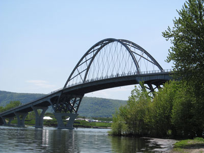
Since November 2011, the Lake Champlain Bridge has crossed the lake's southern part, connecting Chimney Point in Vermont with Crown Point, New York. It replaced Champlain Bridge, which was closed in 2009 because of severe structural problems.
Burlington, Vermont is the largest city on the lake. The second and third most-populated cities/towns are Plattsburgh, New York and South Burlington, Vermont, respectively. The fourth-largest community is the town of Colchester.
- Bluff Point Lighthouse, on Valcour Island near the New York shore, was built in 1871; it was manned by a full-time lightkeeper until 1930, making it one of the last lighthouses to be manned on the Lake
- Cumberland Head Light, which operated until 1934, is an historic stone lighthouse located on Cumberland Head which is privately-owned
- Isle La Motte Light, on the northern end of the island, was originally red, but faded to pink over time; it is privately owned
- Juniper Island Light is a cast-iron lighthouse that dates from 1846; in 1954, it was deactivated and replaced by a steel tower; it is privately owned
- On Point Au Roche, part of Beekmantown, New York, there is a privately-owned, historic lighthouse
- Split Rock Lighthouse is located south of Essex, New York, near a natural boundary of the territory between the Mohawk and Algonquin tribes
There are a number of parks in the Lake Champlain region, in both New York and Vermont.
Those on the New York side of the lake include: Point Au Roche State Park, which park grounds have hiking and cross country skiing trails and a public beach; and the Ausable Point State Park. The Cumberland Bay State Park is located on Cumberland Head, with a campground, city beach and sports fields.
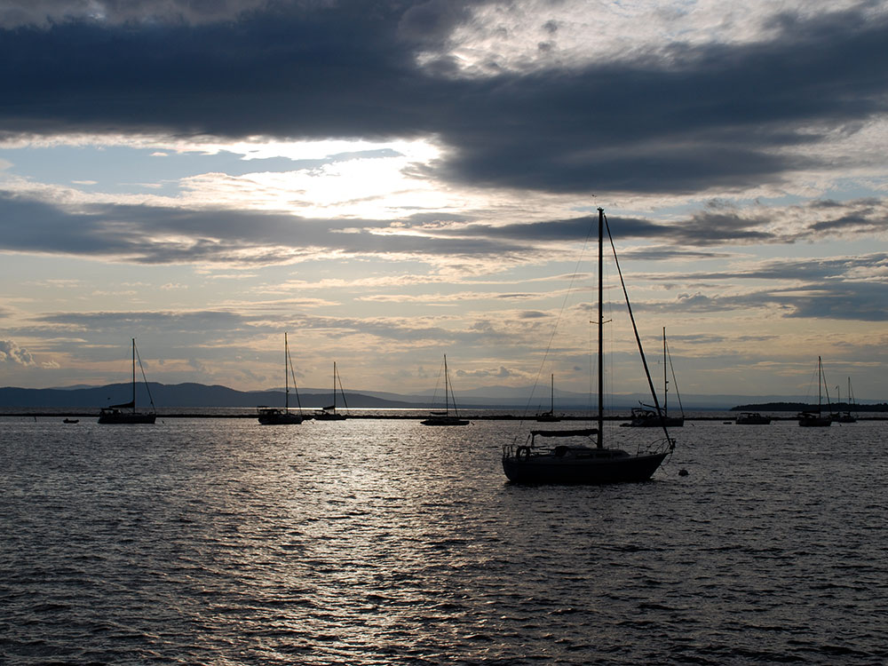
There are various parks along the lake on the Vermont side, including Sand Bar State Park in Milton, featuring a 2,000 feet (610 m) natural sand beach, swimming, canoe and kayak rentals, food concession, picnic grounds and a play area. At 226 acres (91 ha), Grand Isle State Park contains camping facilities, a sand volleyball court, a nature walk trail, a horseshoe pit and a play area. Button Bay State Park in Ferrisburgh features campsites, picnic areas, a nature center and a swimming pool. Burlington's Waterfront Park is a revitalized industrial area.
This article uses material from the Wikipedia article "Lake Champlain", which is released under the Creative Commons Attribution-Share-Alike License 3.0
Featured Locations
-400.jpg)
Niranjan Arminius, CC BY-SA 2.0, via Wikimedia Commons; Image Size Adjusted
.jpg)
Doug Kerr, CC BY-SA 2.0, via Wikimedia Commons; Image Size Adjusted