3,165 ft (965 m) mountain is the most prominent mountain peak in southern New Hampshire
General Information
How to Get There
Overview
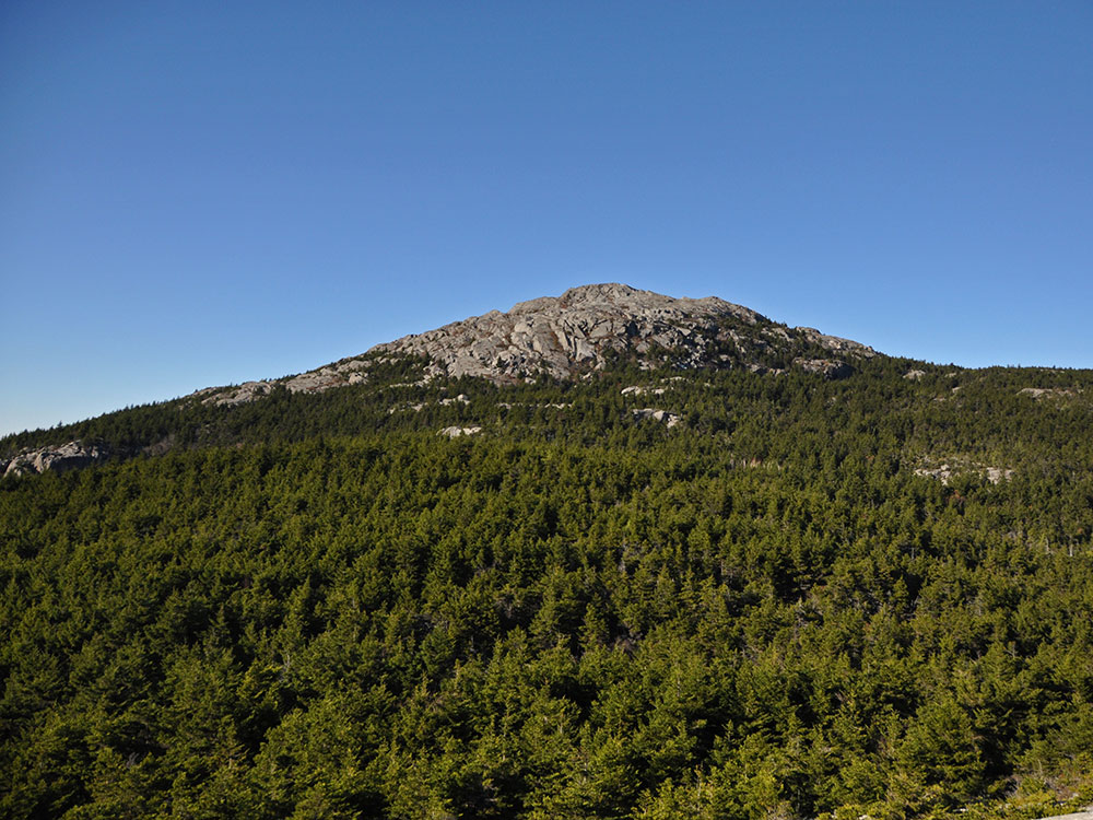
Mount Monadnock, or Grand Monadnock, is a 3,165 ft (965 m) mountain in the towns of Jaffrey and Dublin, New Hampshire. It is the most prominent mountain peak in southern New Hampshire and is the highest point in Cheshire County. It lies 38 miles (61 km) southwest of Concord and 62 miles (100 km) northwest of Boston. At 3,165 feet (965 m), Mount Monadnock is nearly 1,000 feet (305 m) higher than any other mountain peak within 30 miles (48 km) and rises 2,000 feet (610 m) above the surrounding landscape. It is known for being featured in the writings of Ralph Waldo Emerson and Henry David Thoreau.
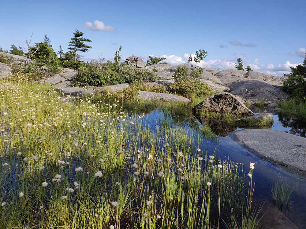
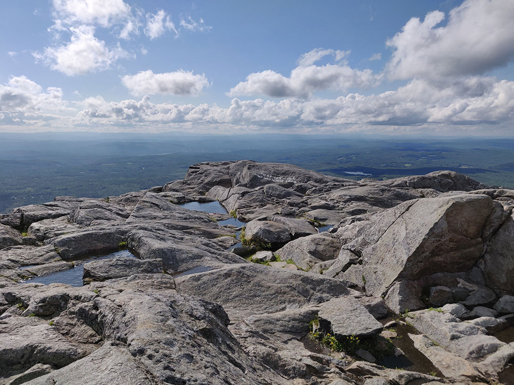
Mt. Monadnock has long been cited as one of the most frequently climbed mountains in the world. Monadnock's bare, isolated, and rocky summit provides expansive views. It bears a number of hiking trails, including the 110-mile (180 km) Metacomet-Monadnock Trail and the 50-mile (80 km) Monadnock-Sunapee Greenway. The summit is barren largely because of fires set by early settlers. The first major fire, set in 1800 to clear the lower slopes for pasture, swept through the stands of virgin red spruce on the summit and flanks of the mountain. Between 1810 and 1820, local farmers, who believed that wolves were denning in the blowdowns, set fire to the mountain again. The conflagration raged for weeks, destroying the topsoil and denuding the mountain above 2,000 feet (610 m).
The term "monadnock" is used by American geologists to describe any isolated mountain formed from the exposure of a harder rock as a result of the erosion of a softer one once surrounding it.
Ralph Waldo Emerson, Henry David Thoreau, and Margaret Fuller visited the mountain and wrote fondly of it. Emerson was a frequent visitor, and made the mountain the subject of "Monadnoc", one of his most famous poems. Thoreau visited the mountain four times between 1844 and 1860, and spent a great deal of time observing and cataloging natural phenomena. He is regarded as having written one of the first serious naturalist inventories of the mountain. A bog near the summit of Mount Monadnock and a rocky lookout off the Cliff Walk trail are named after him; another lookout is named after Emerson.
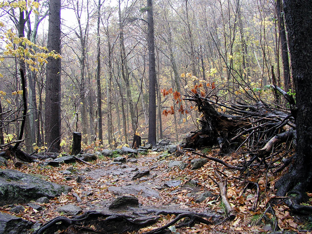
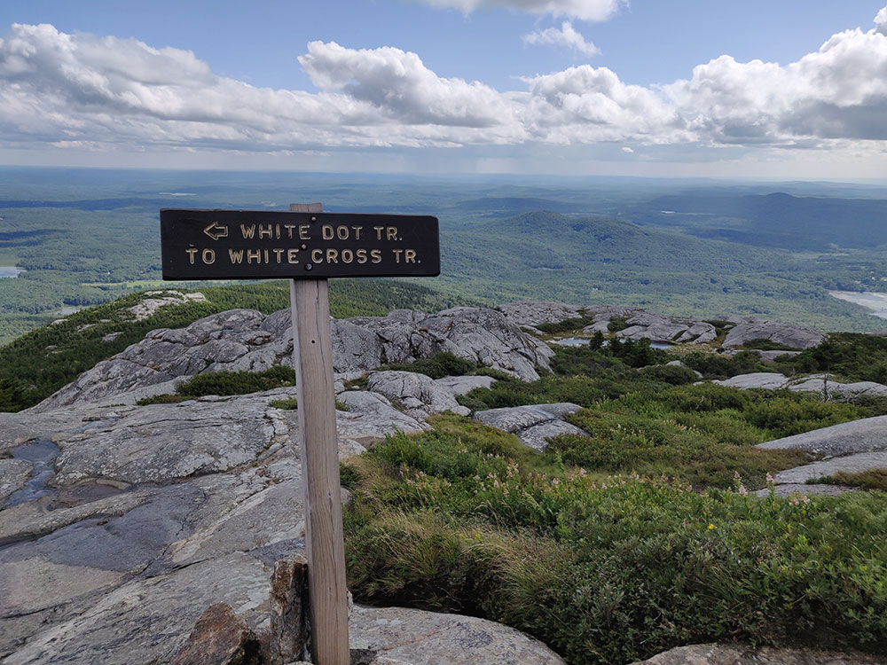
Mount Monadnock is criss-crossed by many miles of well-maintained hiking trails. The most popular trails are the White Dot Trail, 2.2 miles (3.5 km), the shortest but steepest ascent to summit, accessible from the Monadnock State Park headquarters and campground on the southeast side of the mountain; and the White Arrow Trail, 2.3 miles (3.7 km) to summit, considered the easiest ascent, via the Old Toll Road (Halfway House) trailhead on the south side of the mountain. Other major trails include:
- The Marlboro Trail, on the west side of the mountain, 2.2 miles (3.5 km) to summit
- The Dublin Path, also part of the Monadnock-Sunapee Greenway, on the north side 2.4 miles (3.9 km) to summit
- The Pumpelly Trail, on the northeast side, the longest ascent, 4.4 miles (7.1 km) to summit
Access from the east side of the mountain is provided by the Birchtoft Trail (Gilson Pond trailhead) and several connecting trails to the summit.
Other important trails include the White Cross Trail, an alternative parallel to the White Dot Trail, and the Cliff Walk, a scenic detour that shadows a ledge to the east of the White Arrow Trail.
This article uses material from the Wikipedia article "Mount Monadnock", which is released under the Creative Commons Attribution-Share-Alike License 3.0