General Information
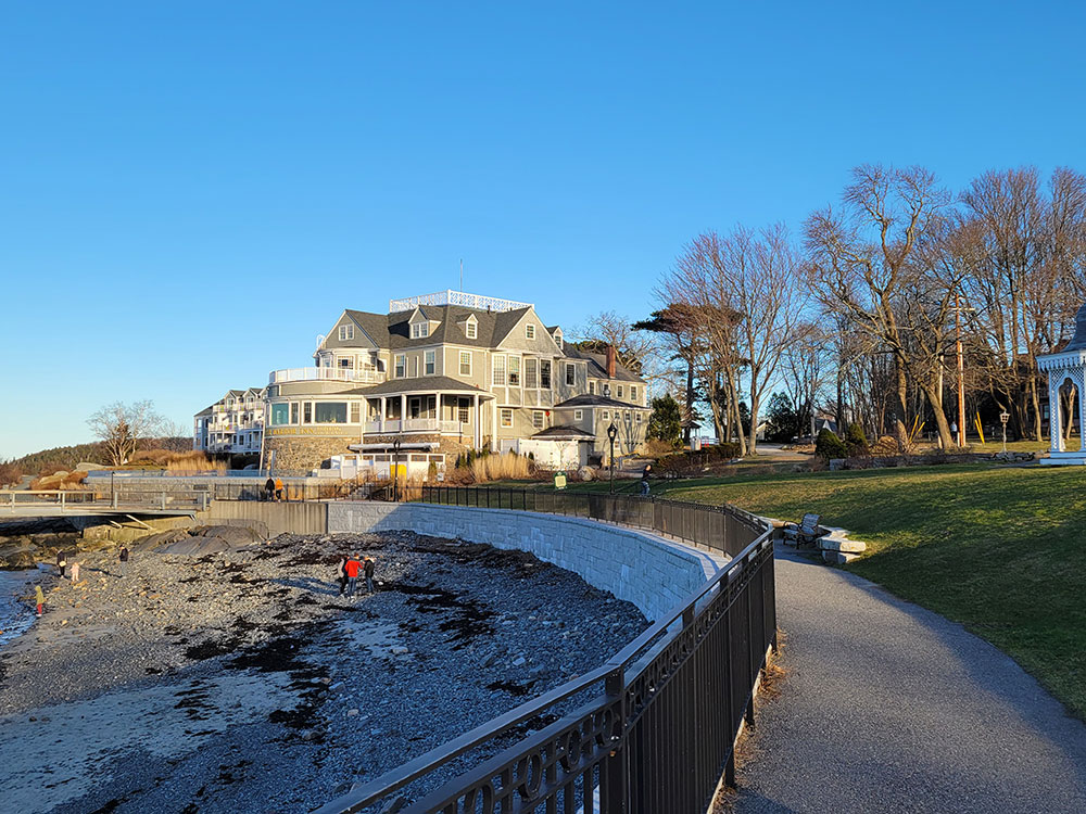
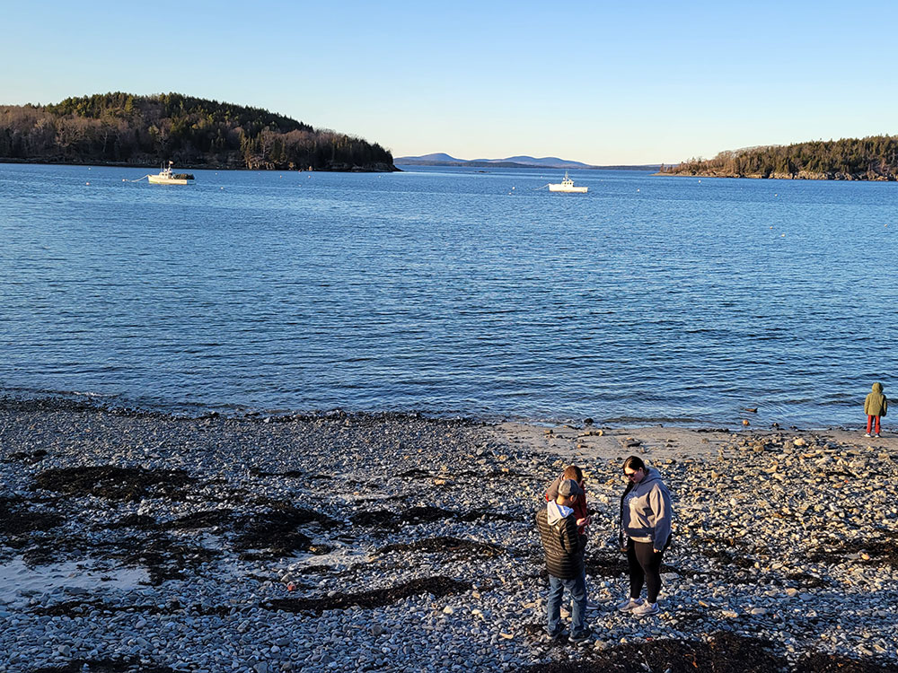
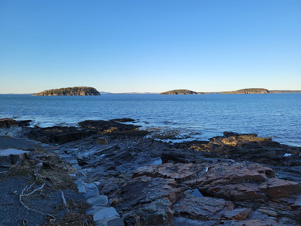
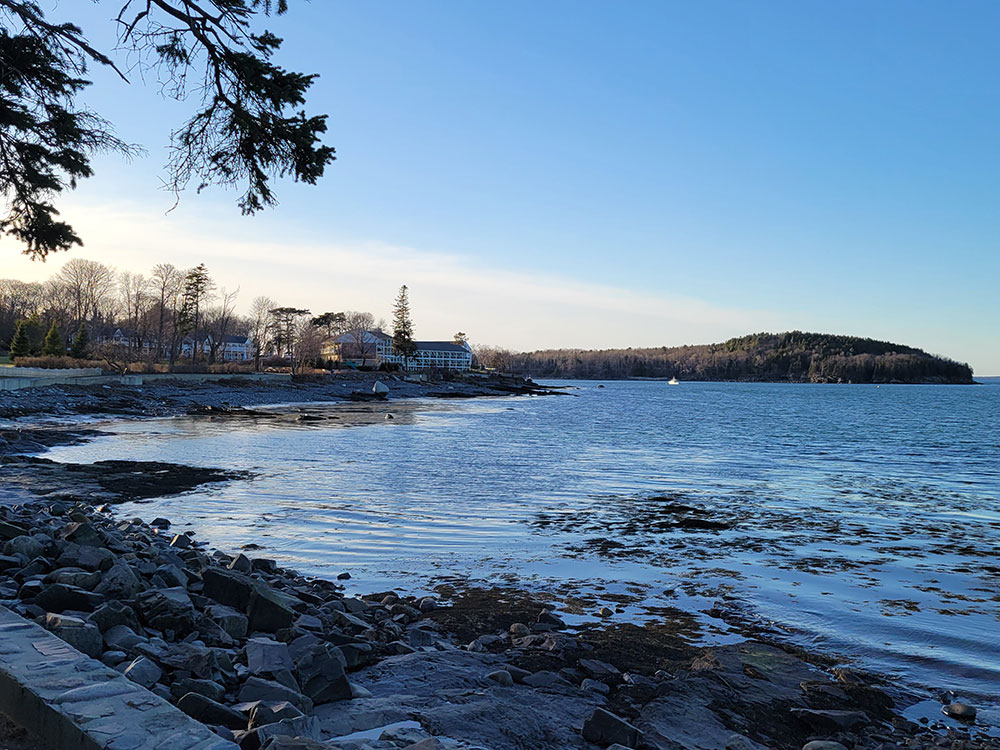
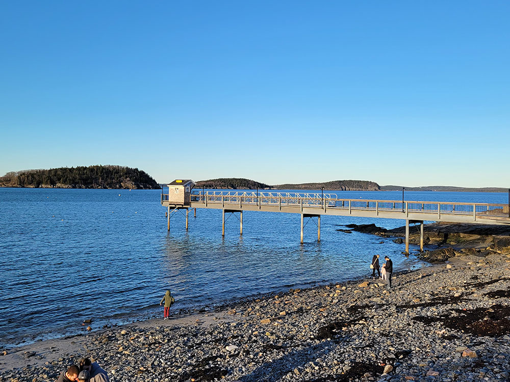
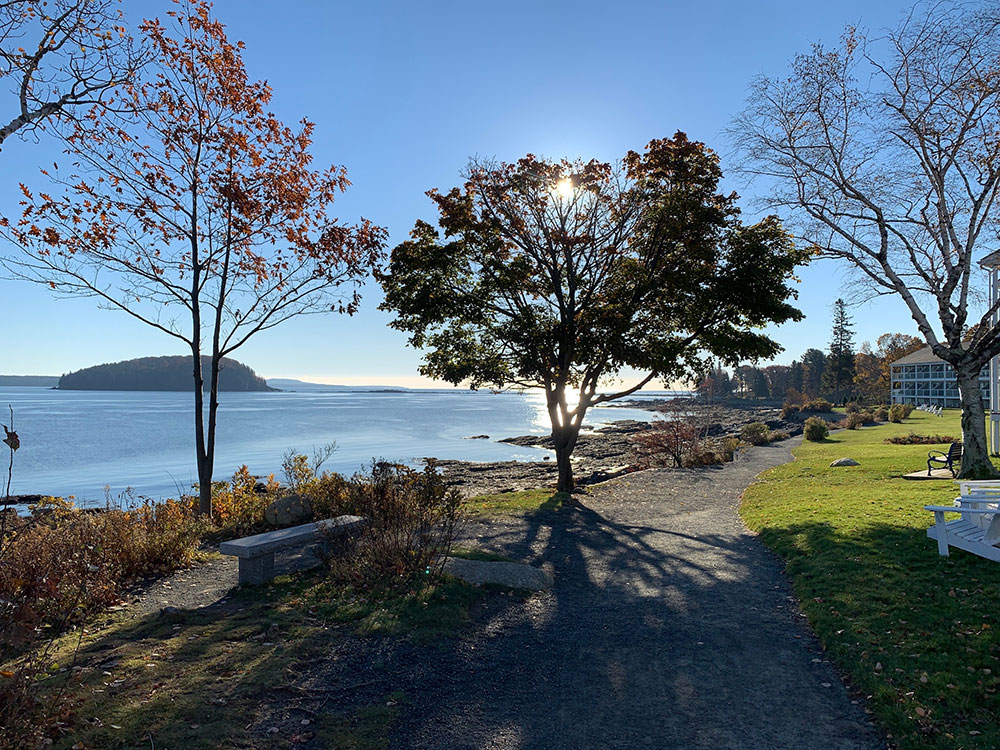
Bar Harbor Shore Path is a coastal path in Bar Harbor, Maine. Established in 1881, it runs along the shore of Frenchman Bay, from Ells Pier, beside Agamont Park, in the north to an east-west-running continuation of the path at the eastern end of Wayman Lane. To the west of the path, mostly in its southern section, are the properties of several of Bar Harbor's historic "cottages". Several exits along its route lead through to Bar Harbor's Main Street to the west (about 0.3 miles (0.48 km) away at its most distant point).
Balance Rock, deposited during an ice age, is located on the shore beside the path.
From the town pier, the path runs east initially, then south after it passes the lawn of the Bar Harbor Inn and Uncle Steve's Point. Grant Park is next, just north of the Balance Rock Inn. An exit, leading to Main Street's village green via Albert Meadow, is here. Continuing, past the Tudor Revival-style John Innes Kane Cottage (built in 1904), another (less obvious) exit to Main Street, via Hancock Street, appears. The southern end of the path is marked with a turn leading to Wayman Lane.
This article uses material from the Wikipedia article "Shore Path", which is released under the Creative Commons Attribution-Share-Alike License 3.0