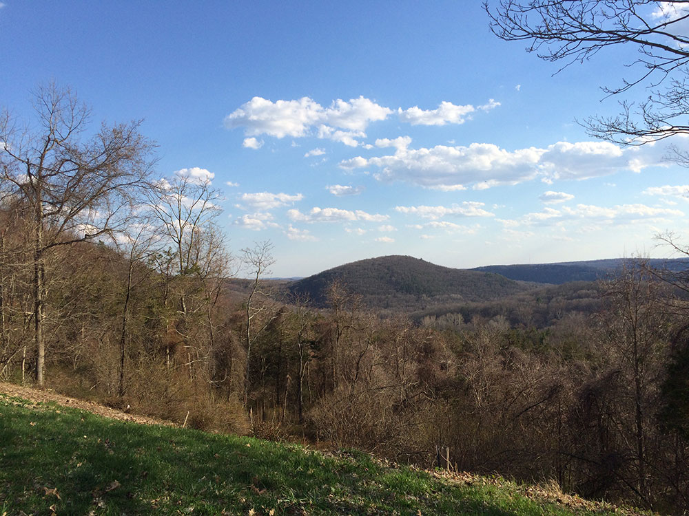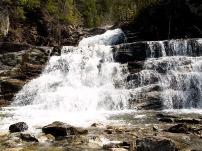

Scenic natural area featuring a dramatic multi-tiered waterfall cascading through a wooded gorge, with short but steep hiking trails and picturesque viewpoints.
General Information
Non-resident vehicles: $15 weekends & holidays / $10 weekdays
How to Get There
From Danbury (30 mi): Take US-7 North toward Kent, continue past the village center, and follow signs along Route 7 until reaching the park entrance on Kent Cornwall Road.
Overview
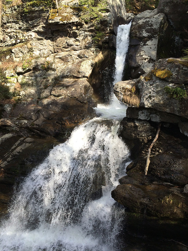
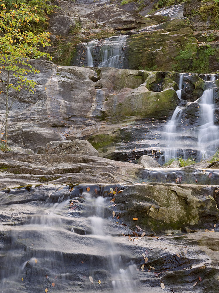
Kent Falls State Park is a public recreation area located in the town of Kent, Connecticut, within the Litchfield Hills region of the southern Berkshires. The state park is home to Kent Falls, a series of waterfalls on Falls Brook, a tributary of the Housatonic River. The falls drop 250 feet in under a quarter mile. The largest cascade drops more than 70 feet into a reflecting pool, before traveling over the lesser falls.
History
The Indian name of the falls is Scatacook, and there is evidence that the area was used by Native Americans for fishing and camping. Mills stood along the brook during colonial times. Kent Falls was established as a state park after 200 acres of land was given to the state in 1919 as a gift from the White Memorial Foundation. Workers with the Civil Works Administration contributed to the park's development in the 1930s.
In 2006, observation platforms were constructed along a trail next to the falls; at the base of the falls, a terraced observation area paved with native flag stones was created to allow access to a calm-water wading pool.
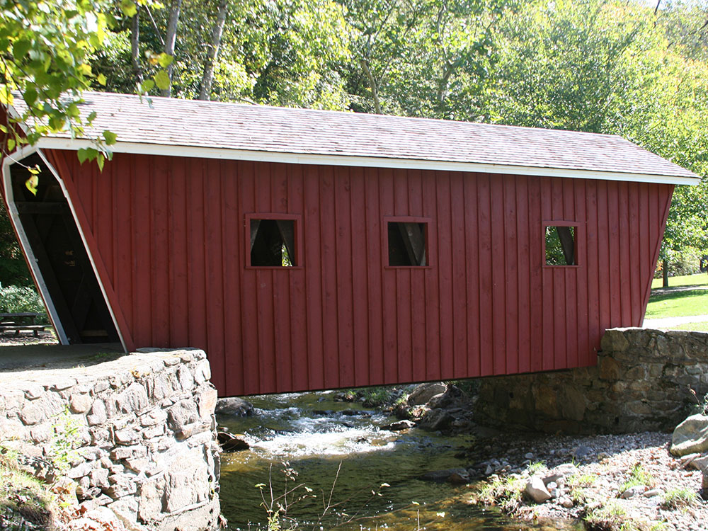
The park has a replica of a covered bridge that allows visitors to cross the brook and access the falls. In addition to its scenery, the park offers hiking, fishing, and picnicking.
This article uses material from the Wikipedia article "Kent Falls State Park", which is released under the Creative Commons Attribution-Share-Alike License 3.0