Badlands National Park Travel Guide
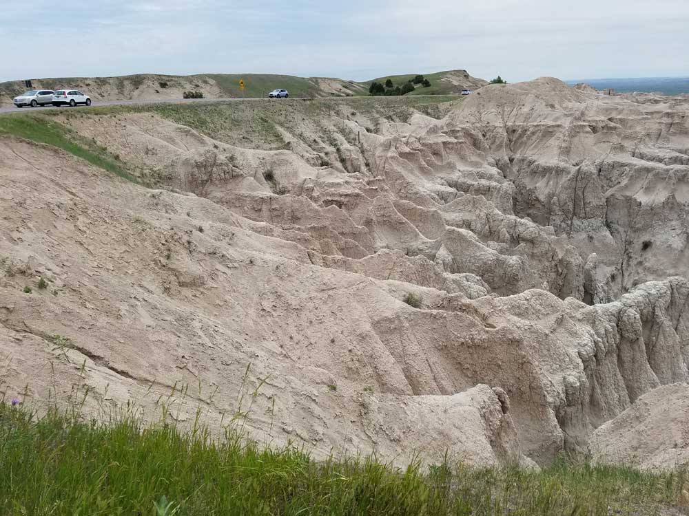
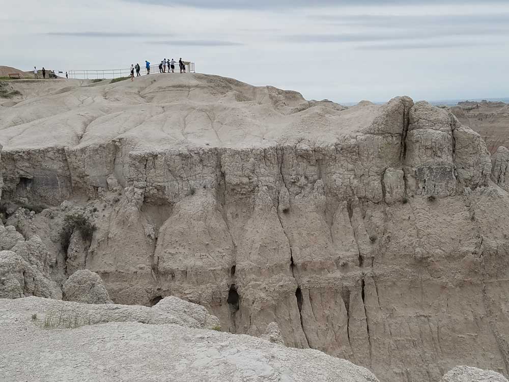
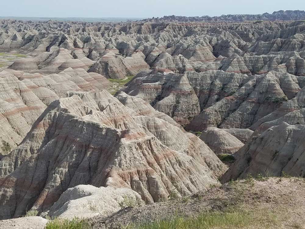
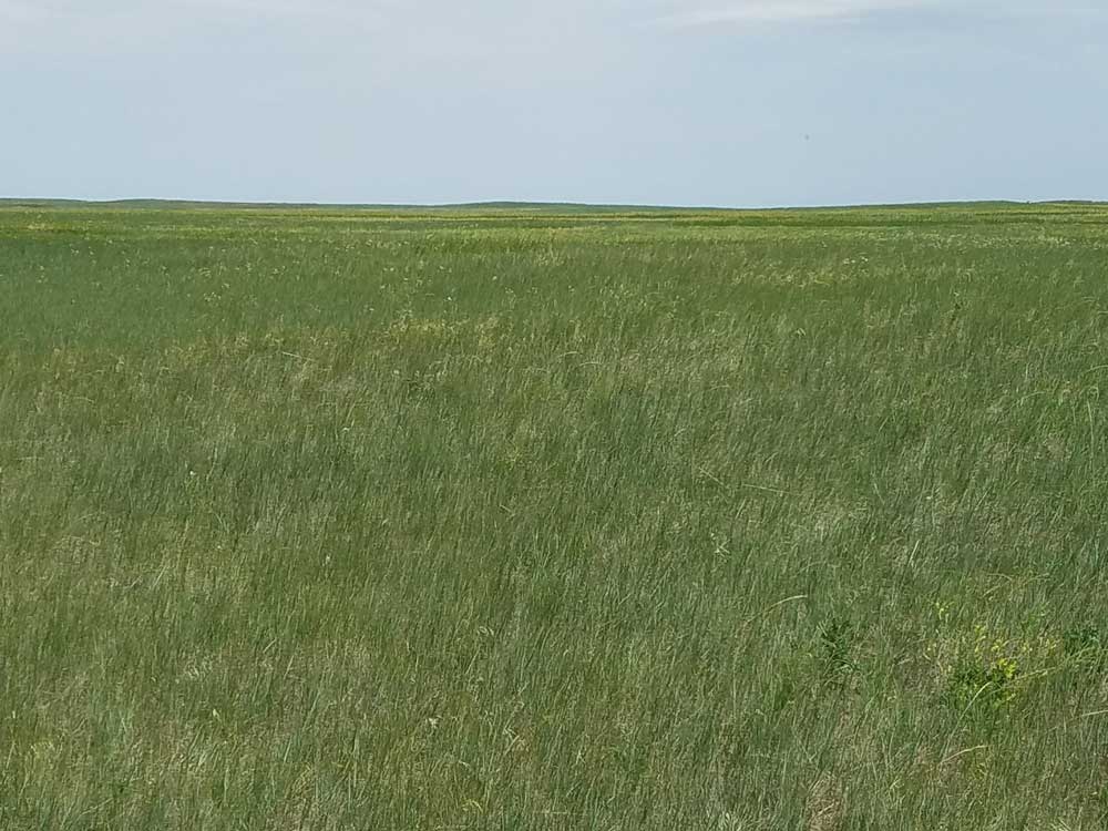
242,756 acres of sharply eroded buttes and pinnacles, along with the largest undisturbed mixed grass prairie in the United States
General Information
Ben Reifel Visitor Center
Winter Hours November 1 to March 30
9am to 4pm
Spring Hours
April 1 to Memorial Day
8am to 5pm
Summer Season Only May to September
7am to 7pm
White River Visitor Center
8am to 5pm
Accepts America The Beautiful Pass
From Rapid City (62 mi): Head north on Mt Rushmore Rd toward St Joseph St. Use the left 2 lanes to turn left onto Omaha St. Turn right at the 1st cross street onto I-190 N. Keep right at the fork to continue on Exit 1B, follow signs for I-90 E/Sioux Falls and merge onto I-90 E. Take exit 110 for SD-240/Glenn St toward Badlands Loop/Scenic Byway. Turn right onto SD-240 E.
Badlands National Park, located in southwestern South Dakota, protects 242,756 acres of sharply eroded buttes and pinnacles, along with the largest undisturbed mixed grass prairie in the United States. The National Park Service manages the park, with the South Unit being co-managed with the Oglala Lakota tribe.
The South Unit, or Stronghold District, includes sites of 1890s Ghost Dances, a former United States Air Force bomb and gunnery range, and Red Shirt Table, the park's highest point at 3,340 feet.
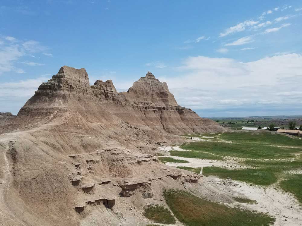
Authorized as Badlands National Monument on March 4, 1929, it was not established until January 25, 1939. Badlands was redesignated a national park on November 10, 1978. Under the Mission 66 plan, the Ben Reifel Visitor Center was constructed for the monument in 1957-58. The park also administers the nearby Minuteman Missile National Historic Site. The movies Dances with Wolves (1990) and Thunderheart (1992) were partially filmed in Badlands National Park.
This national park was originally a reservation of the Oglala Sioux Indians and spans the southern unit of the park. The area around Stronghold Table was originally Sioux territory, and is revered as a ceremonial sacred site rather than a place to live.
At the end of the 19th century, the Sioux Indians used this area as the site of the Ghost Dance, a ceremony to revive the souls of buffalo and the dead. The last ghost dance was in 1890.
Badlands Loop Road (SD 240) is a spectacular way to see the North Unit of Badlands National Park. This two-lane paved road is appropriate for all motor vehicles but does include several steep passes and sections with reduced speed limits. Drive carefully, as wildlife is common along the Loop Road. Please use overlooks and pull-outs to stop for photos; this allows traffic to proceed unimpeded along the Badlands Loop Road.
Along Badlands Loop Road, there are over a dozen spectacular overlooks and trailheads. These provide views of the park, informative displays, and access to hiking trails. The Ben Reifel Visitor Center is also located on Badlands Loop Road and provides information, maps, exhibits, and the park film. Sage Creek Rim Road can also be accessed from Badlands Loop Road; the intersection is just north of the Pinnacles Overlook.
The Loop Road can be accessed by heading south from Interstate 90 via Exit 110 (Wall) or Exit 131. SD 44 provides an alternate, scenic access to the park and intersects SD 377 in the town of Interior. From Interior, follow SD 377 two miles north to the Interior Entrance and another half mile to Badlands Loop Road (240).
Badlands Loop Road features a number of overlooks and pull-offs to park safely and enjoy the view. From east to west, the overlooks on Badlands Loop Road are:
- Big Badlands Overlook
- White River Valley Overlook
- Bigfoot Pass Overlook (includes a picnic area)
- Panorama Point
- Prairie Wind Overlook
- Burns Basin Overlook
- Homestead Overlook
- Conata Basin Overlook
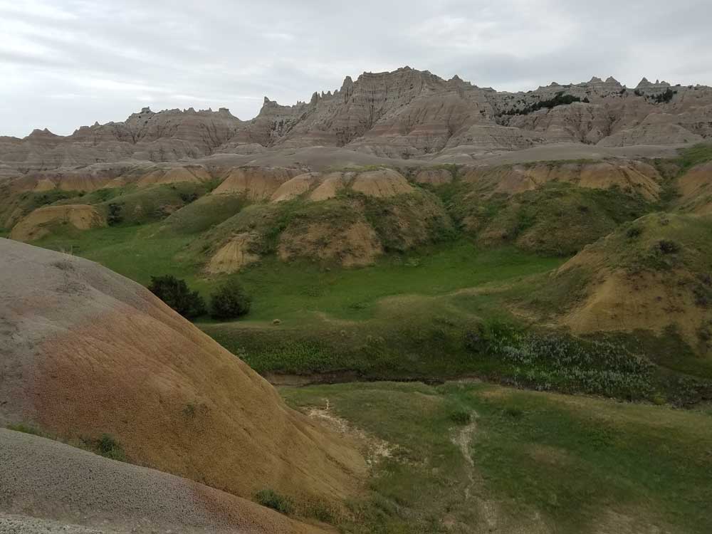
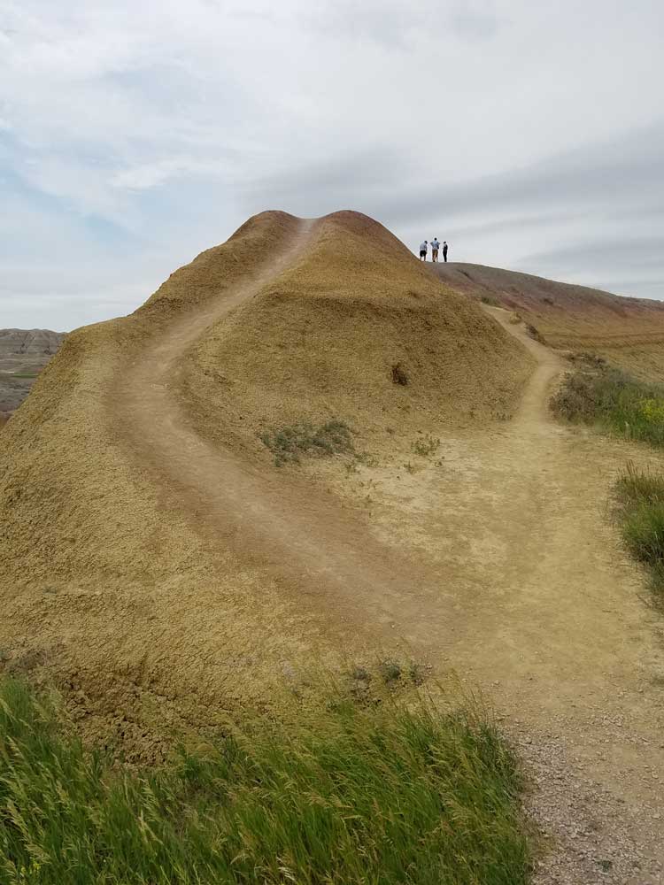
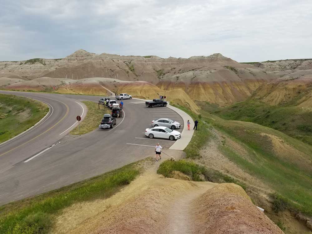
- Yellow Mounds Overlook
- Conata Picnic Area
- Ancient Hunters Overlook
- Pinnacles Overlook
This article uses material from the Wikipedia article "Badlands National Park", which is released under the Creative Commons Attribution-Share-Alike License 3.0
This article uses material from nps.gov "Badlands National Park"
Featured Trails
Sage Creek Rim Road, Badlands National Park
RatingProvides access to several overlooks and the Sage Creek Campground, as well as opportunities for backcountry access and wildlife viewing
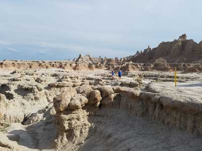
Door Trail
Rating0.75 miles roundtrip
An accessible ¼ mile boardwalk leads through a break in the Badlands Wall known as "the Door" and to a view of the Badlands. From there, the maintained trail ends. Travel beyond this point is at your own risk
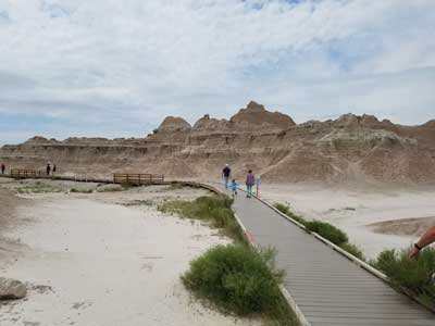
Window Trail
Rating0.25 miles roundtrip
This short trail leads to a natural window in the Badlands Wall with a view of an intricately eroded canyon.
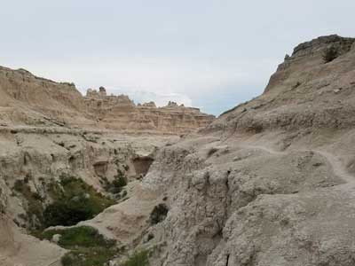
Notch Trail
Rating1.5 miles roundtrip
Moderate to strenuous. After meandering through a canyon, this trail climbs a log ladder and follows a ledge to "the Notch" for a dramatic view of the White River Valley. Trail begins at the south end of the Door and Window parking area.
