.JPG)
General Information
How to Get There
From Medora (56 mi): Continue to South Billings. Take US-85 S/Theodore Roosevelt Expy to 140th Ave SW in White Lake. Continue on 140th Ave SW. Drive to White Butte Trl.
Overview
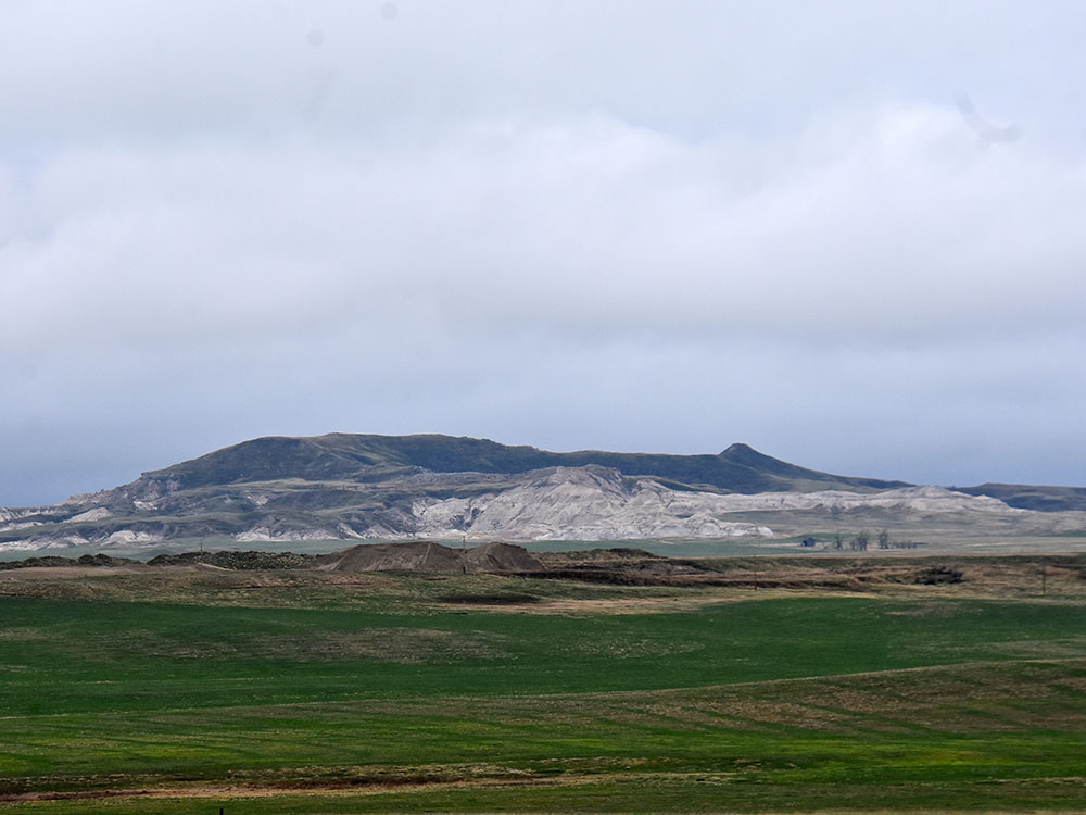
White Butte is the highest natural point in North Dakota. At an elevation of 3,506 ft (1,069 m), it is a prominent butte in Slope County, in the Badlands of the southwestern part of the state. It is located 3 miles (5 kilometers) east of U.S. 85 and about 6.5 mi (10 km) south of Amidon.
The nearest town is Amidon, about seven miles to the northwest. The summit is located within the boundaries of the Little Missouri National Grassland and is about 35 miles (56 km) south of Theodore Roosevelt National Park. It is on private property, owned by the Dennis family who live nearby. At the parking area, one mile due north of the trailhead, the family maintains a small mailbox-like receptacle for donations to help maintain the area, and requests a $5 contribution from visitors. From the trailhead, the trail itself is a 4-mile round trip.
This article uses material from the Wikipedia article "White Butte", which is released under the Creative Commons Attribution-Share-Alike License 3.0