.jpg)
1.45-mile-long (2.33 km) elevated linear park, greenway and rail trail created on a former New York Central Railroad spur on the west side of Manhattan
General Information
Overview
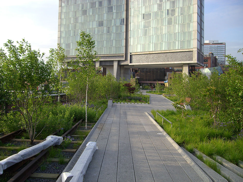
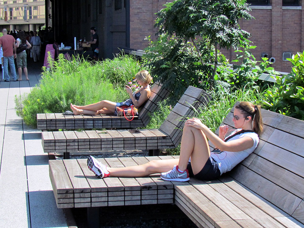
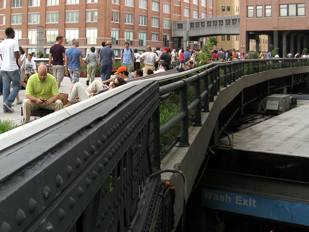
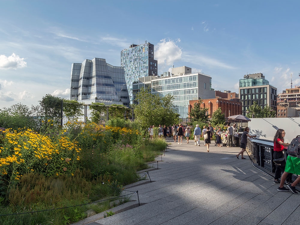
The High Line is a 1.45-mile-long (2.33 km) elevated linear park, greenway and rail trail created on a former New York Central Railroad spur on the west side of Manhattan. The abandoned spur has been redesigned as a "living system" drawing from multiple disciplines which include landscape architecture, urban design, and ecology. Since opening in June 2009, the High Line has become an icon of contemporary landscape architecture.
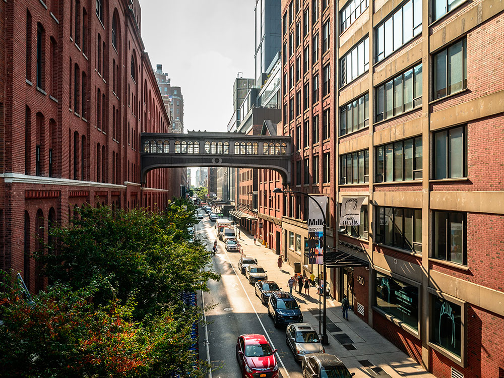
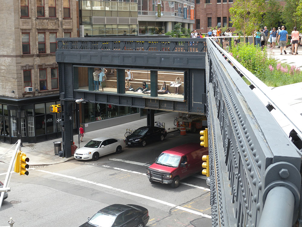
The park is built on a disused, southern viaduct section of the New York Central Railroad's West Side Line. Originating in the Meatpacking District, the park runs from Gansevoort Street - three blocks below 14th Street - through Chelsea to the northern edge of the West Side Yard on 34th Street near the Javits Center. The West Side Line formerly extended south to a railroad terminal at Spring Street, just north of Canal Street, and north to 35th Street at the site of the Javits Center. Due to a decline in rail traffic along the rest of the viaduct, it was effectively abandoned in 1980 when the construction of the Javits Center required the demolition of the viaduct's northernmost portion. The southern portion of the viaduct was demolished in segments during the late 20th century.
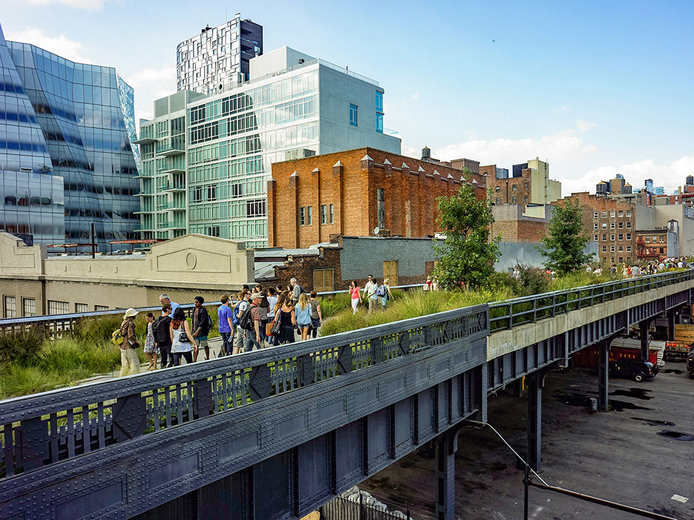
The High Line was inspired by the 4.7 km (2.9 mi) long Promenade plantée (tree-lined walkway), a similar project in Paris completed in 1993. Repurposing the railway into an urban park began in 2006 and opened in phases during 2009, 2011, and 2014. The Spur, an extension of the High Line that originally connected with the Morgan General Mail Facility at Tenth Avenue and 30th Street, opened on June 4, 2019, as the final part of the park to open.
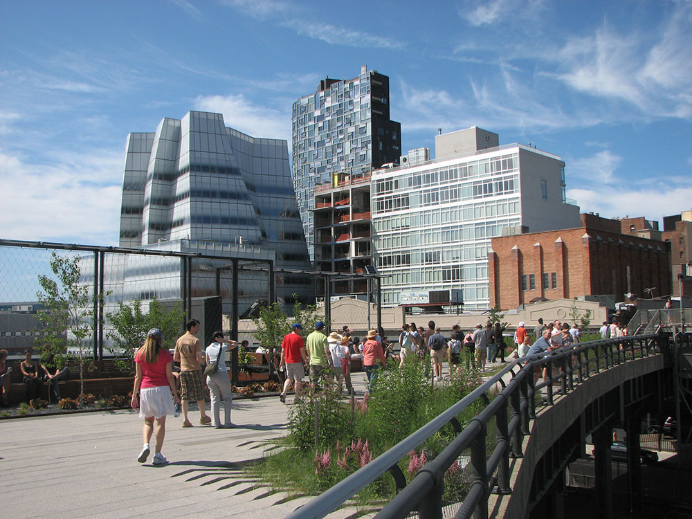
The High Line's success has inspired cities throughout the United States to redevelop obsolete infrastructure as public space. The park became a tourist attraction and spurred real estate development in adjacent neighborhoods, increasing real-estate values and prices along the route. By September 2014, the park had nearly five million visitors annually, and by 2019, it had eight million visitors per year.
This article uses material from the Wikipedia article "High Line", which is released under the Creative Commons Attribution-Share-Alike License 3.0
-750.jpg)
.jpg)
-1000.jpg)
.jpg)
-1000.jpg)
.jpg)
-1000.jpg)
.jpg)
-1000.jpg)
.jpg)