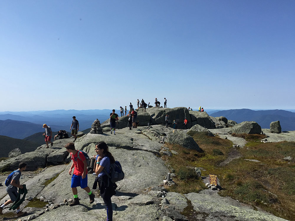
Highest point in New York, with its stature and expansive views make it a popular destination for hikers, who crowd its summit in the summer months
General Information
How to Get There
From Lake Placid village (approximately 9 miles): Take NY-73 E for approximately 3 miles, then turn right onto Adirondak Loj Rd and follow it approximately 5 miles to the parking area at Adirondak Loj (Heart Lake). The Van Hoevenberg Trail to Mount Marcy begins here.
Overview
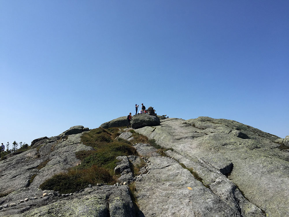
Mount Marcy is the highest point in New York, with an elevation of 5,344 feet (1,629 m). The mountain is in the heart of the Adirondack High Peaks region of the High Peaks Wilderness Area. Its stature and expansive views make it a popular destination for hikers, who crowd its summit in the summer months.
Lake Tear of the Clouds, at the col between Mounts Marcy and Skylight is often cited as the highest source of the Hudson River, via Feldspar Brook and the Opalescent River, even though the main stem of the Opalescent River has as its source a higher point two miles north of Lake of the Clouds, and that stem is a mile longer than Feldspar Brook.
The mountain was named after Gov. William L. Marcy, the 19th-century Governor of New York, who authorized the environmental survey that explored the area. Its first recorded ascent was on August 5, 1837, by a large party led by Ebenezer Emmons looking for the source of the East Fork of the Hudson River. Today the summit may be reached by multiple trails. Though a long hike by any route, a round-trip can be made in a day.
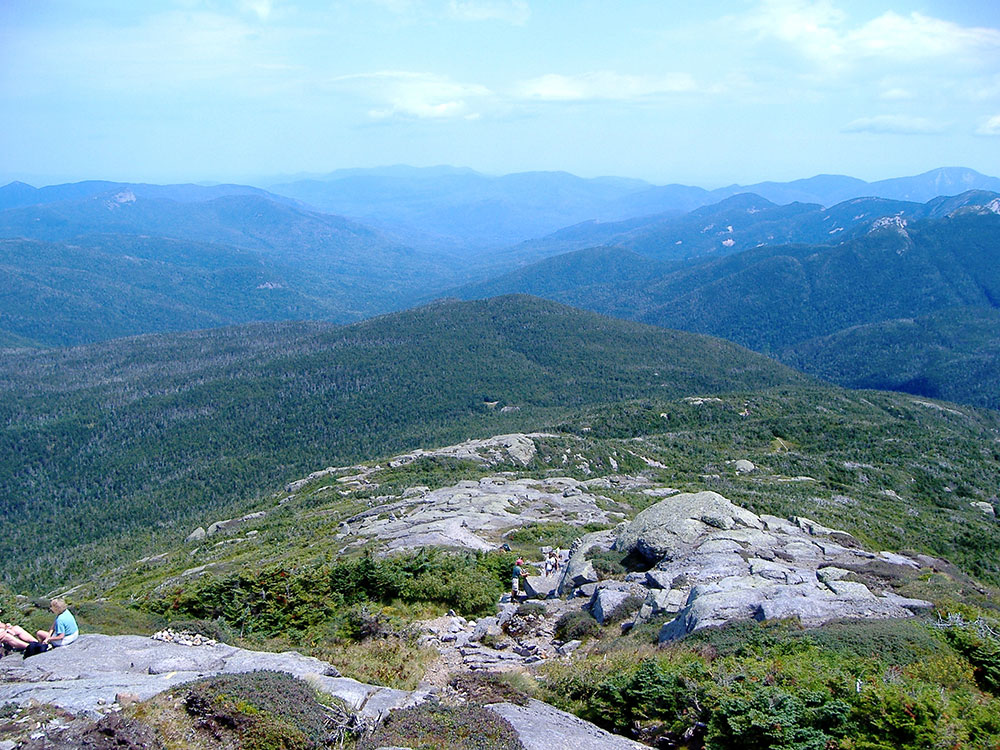
Mount Marcy is the tallest of the High Peaks of the Adirondack Mountains. The majority of the mountain is forested, although the final few hundred feet is above the tree line. The peak is dominated by rocky outcrops, lichens, and alpine shrubs. There are two plaques at the top commemorating the centennial of the first dated climb as well as the mountain summit itself.
The shortest and most frequently used route up the mountain is from the northwest, the Van Hoevenberg Trail, which starts at the Adirondak Loj near Heart Lake. From there it is 7.4 miles (11.2 km) to the summit, a lengthy 14.8-mile (22.4 km) roundtrip which can nevertheless be done in a day. A large section of the trail is suitable for alpine skiing and snowboarding.
The summit via the Johns Brook Trail from the Garden parking north of the mountain in Keene Valley is an 18-mile (28.8 km) round trip, which may be broken at Johns Brook Lodge.
A lengthier southern approach can be made from either of the two major trailheads for the southern High Peaks, Upper Works or Elk Lake.
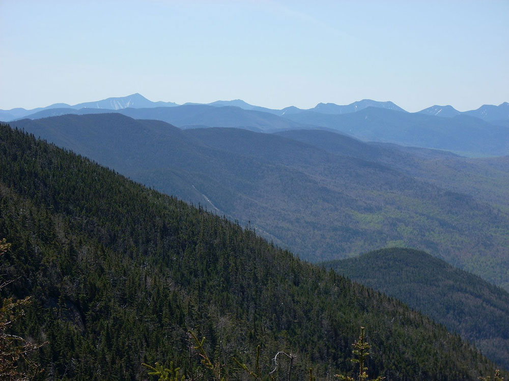
Visibility on the summit occasionally affords very distant views of most of the Monteregian Hills volcano chain in Quebec's St Lawrence valley as far north as Mont St Hillaire. Views of Burlington and Lake Champlain adorn the surrounding Green Mountains with visibility extending far beyond the Southern Adirondacks as well.
This article uses material from the Wikipedia article "Mount Marcy", which is released under the Creative Commons Attribution-Share-Alike License 3.0
Featured Trail

Jeff P from Berkeley, CA, USA, CC BY 2.0, via Wikimedia Commons; Image Size Adjusted
.jpg)
Van Hoevenberg Trail
16.7 miles round-trip, 3,540 feetTrail to summit of Mount Marcy and highest point in New York. Starts at Adirondack Mountain Club's High Peaks Information Center parking lot, near Adirondack Loj