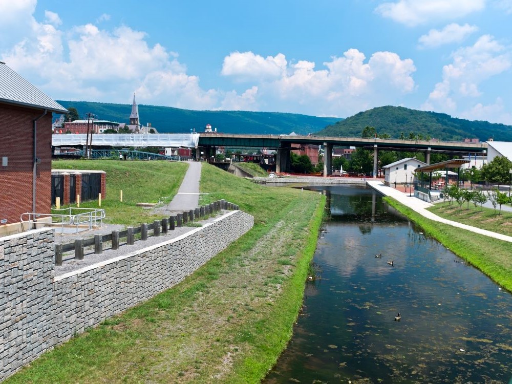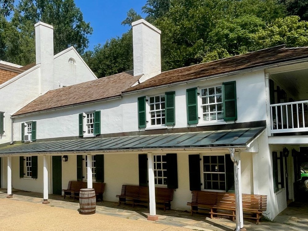

Historic canal corridor offering hiking, biking, boating, and interpretive experiences along a preserved 19th-century towpath.
General Information
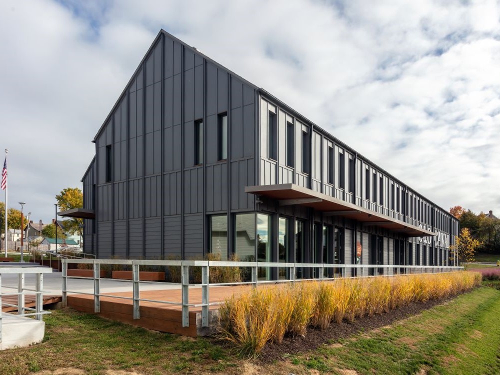
Visitor Centers: Hours vary by location and season
Private vehicle: $20
Motorcycle: $15
Walk-in/bike: $10/person
Annual pass: $35
Other areas: Free
How to Get There
From Frederick, MD (25 mi to Point of Rocks): Take US-15 S to MD-28 W, then follow signs to the C&O Canal access point at Point of Rocks or other nearby trailheads.
Overview
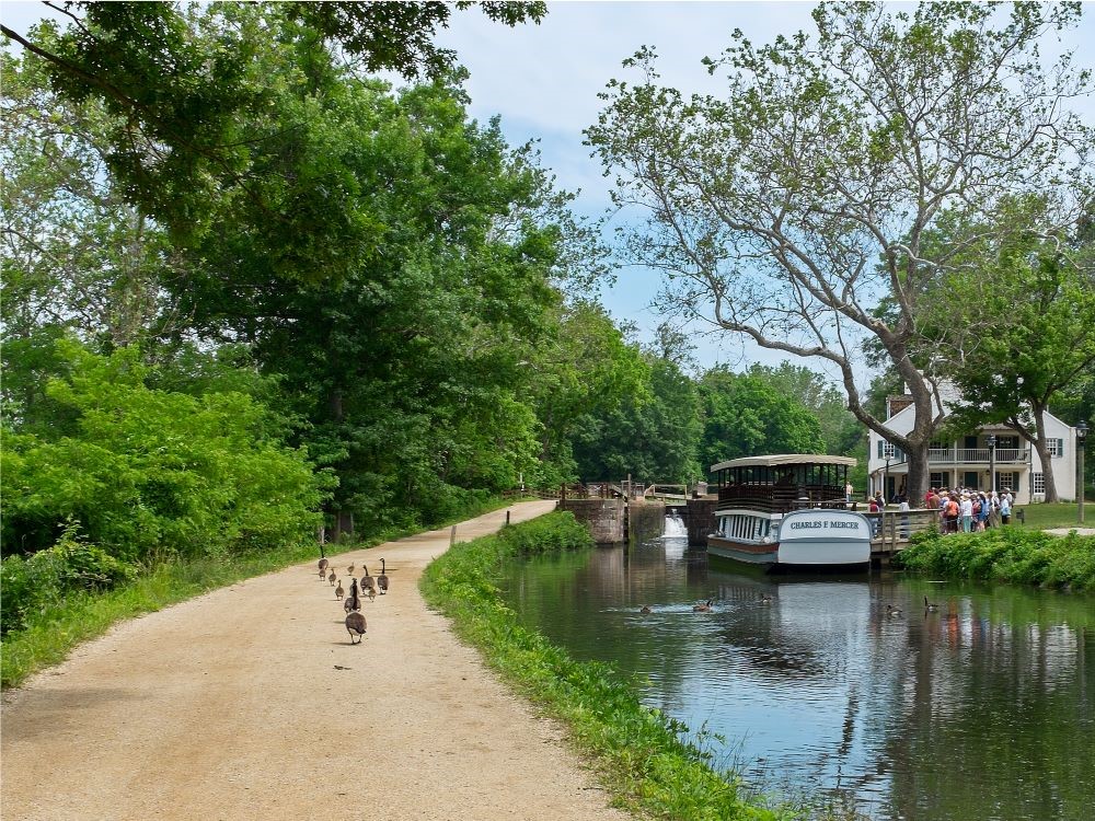
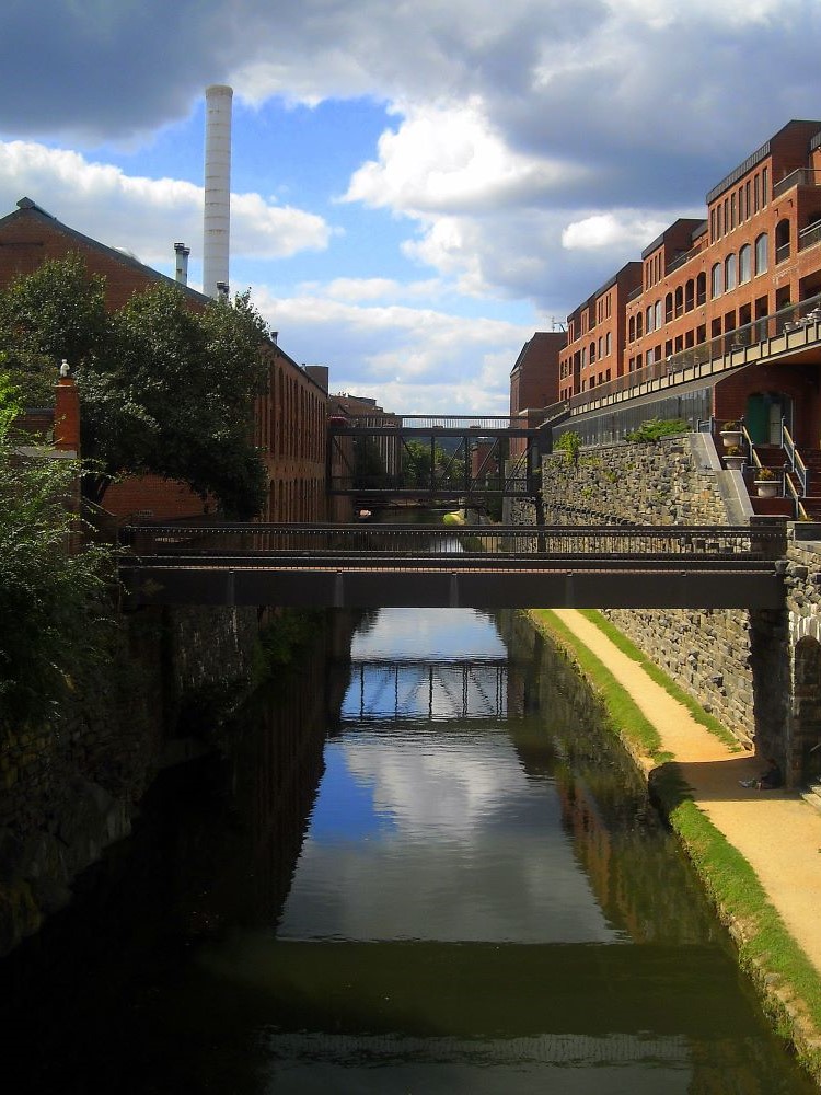
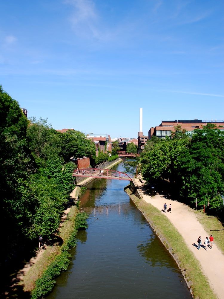
Chesapeake and Ohio Canal National Historical Park preserves the 184.5-mile canal and towpath from Georgetown in Washington, D.C., to Cumberland, Maryland, built from 1828 to 1850 to move coal, lumber, and farm goods along the Potomac. Today the towpath is a nearly level multi-use trail for hiking, cycling, and paddling, past historic locks, lockhouses, aqueducts, and culverts, with camping and ranger programs.
Highlights
- Great Falls: the Potomac drops through the rocky Mather Gorge, with overlooks
- Monocacy Aqueduct and the Paw Paw Tunnel (3,118 feet)
- Harpers Ferry on the route
Top Trails
| Trail | Length | Difficulty | Highlights |
|---|---|---|---|
| C&O Canal Towpath | 184.5 miles one way | Easy | The whole canal for day rides or multi-day bike tours |
| Great Falls Overlook Trail | About 1.5 miles round trip | Easy | Overlooks of the falls and Mather Gorge |
| Paw Paw Tunnel Trail | About 2 miles round trip | Moderate | Walk through the historic tunnel |
| Billy Goat Trail (Section A) | About 4.7 miles loop | Strenuous | Rock scrambling and river views near Great Falls |
This article uses material from the Wikipedia articles and official National Park Service information for the C&O Canal, released under the Creative Commons Attribution-Share-Alike License 3.0.