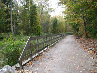
Historic multi-use trail following a former canal towpath with flat, accessible terrain ideal for walking, biking, and wildlife observation.
How to Get There
From Boston Mill Visitor Center (0.1 mi): Cross Riverview Road and follow the signs to access the Towpath Trail directly from the visitor center parking area.
Overview
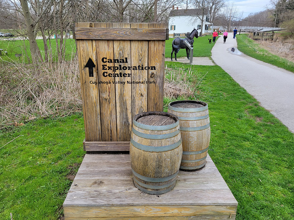
The Ohio and Erie Canal Towpath Trail is a multi-use trail that follows part of the former route of the Ohio & Erie Canal in Northeast Ohio.
The trail runs from north to south through Cuyahoga, Summit, Stark, and Tuscarawas counties. The trail has been 101 miles (163 km) long and currently 87 miles (140 km) of the trail are complete. When completed, it will run from Cleveland in the north to New Philadelphia in the south. The Ohio to Erie Trail follows a portion of the towpath trail in Northeast Ohio. The Great American Rail-Trail will follow another portion of the trail, from Clinton southward.
The trail has multiple surface types including asphalt, cement, concrete, crushed limestone and hard-packed earth.
The trail currently consists of four segments of trails connected by short portions of roadway. The segments are, from north to south:
- Steelyards Common segment
North terminus at W 14th St. and Quigley Rd. in Cleveland
South terminus on Jennings Rd. in Cleveland - Cleveland to Massillon segment
North terminus on Harvard Road in Cleveland
South terminus on SR 172 in Massillon - Massillon to Bolivar segment
North terminus at Walnut Rd. and SR 21 in Massillon
South terminus on SR 212 west of Bolivar - Bolivar to Zoar segment
North terminus at Fort Laurens State Memorial south of Bolivar
Intersection with Zoar Valley Trail southeast of Zoar
South terminus at Canal Lands Park on Dover-Zoar Rd. in Zoar - Zoar to Zoarville segment
North terminus at Canal Lands Park in Dover-Zoar Rd. in Zoar
South terminus at Zoarville Station Bridge
This article uses material from the Wikipedia article "Ohio and Erie Canal Towpath Trail", which is released under the Creative Commons Attribution-Share-Alike License 3.0