Highest natural point in Minnesota, at 2,301 feet (701 m)
General Information
How to Get There
From Duluth, MN (130 mi): Take MN-61 E (North Shore Scenic Drive) northeast from Duluth approximately 110 miles to Grand Marais, turn left on Gunflint Trail (CR-12), then right on Caribou Trail (CR-4) south approximately 5 miles to Forest Road 153, and turn right to the Eagle Mountain trailhead.
Overview
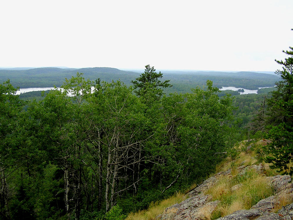
Eagle Mountain is the highest natural point in Minnesota, at 2,301 feet (701 m). It is in northern Cook County and in the Boundary Waters Canoe Area Wilderness and Superior National Forest in the Misquah Hills, northwest of Grand Marais. It is a Minnesota State Historic Site.
Eagle Mountain is only about 15 miles (24 km) from Minnesota's lowest elevation, Lake Superior, at 600 feet (183 m).
The hike to the summit can be made in about two and a half hours. The distance to the peak is about 3.5 miles (5.6 km) with an elevation gain of 550 feet (168 m). The trail is rocky and moderately strenuous. Whale Lake is about halfway along the trail and offers two campsites to hikers. The peak of the mountain is marked with a plaque.
Permits are required because portions of this hike enter the Boundary Waters Canoe Area Wilderness. Self-issued permits are available at any Superior National Forest ranger station or at the trailhead. Instructions and the permit can usually be found at the trailhead kiosk.
This article uses material from the Wikipedia article "Eagle Mountain (Minnesota)", which is released under the Creative Commons Attribution-Share-Alike License 3.0
Featured Trails

Eagle Mountain Trail
6.3 miles round trip, 646 ft elevation gain