1,090,000-acre wilderness area in northeastern part of Minnesota with a mixture of forests, glacial lakes, and streams, and is a popular destination for canoeing, hiking, and fishing, and is one of the most visited wildernesses in the United States
General Information
How to Get There
From Duluth, MN (120 mi): Take US-53 N from Duluth approximately 60 miles to Virginia, MN, then continue north on US-169 to Ely for western entry points, or take MN-61 E from Duluth to Grand Marais for the eastern entry points.
Overview
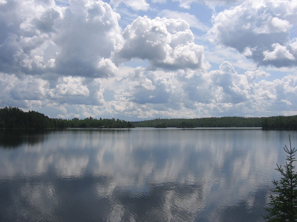
The Boundary Waters Canoe Area Wilderness (BWCAW or BWCA) is a 1,090,000-acre (4,400 km2) wilderness area within the Superior National Forest in northeastern part of Minnesota under the administration of the U.S. Forest Service. A mixture of forests, glacial lakes, and streams, the BWCAW's preservation as a primitive wilderness began in the 1900s and culminated in the Boundary Waters Canoe Area Wilderness Act of 1978. It is a popular destination for canoeing, hiking, and fishing, and is one of the most visited wildernesses in the United States.
Geography
The BWCAW extends along 150 miles (240 km) of the U.S.-Canada border in the Arrowhead Region of Minnesota. The combined region of the BWCAW, Superior National Forest, Voyageurs National Park, and Ontario's Quetico and La Verendrye Provincial Parks make up a large area of contiguous wilderness lakes and forests called the "Quetico-Superior country", or simply the Boundary Waters. Lake Superior lies to the south and east of the Boundary Waters.
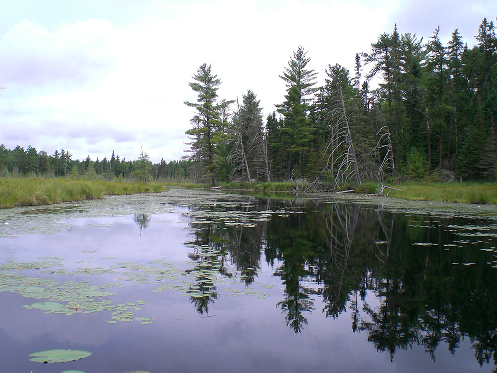
190,000 acres (770 km2), nearly 20% of the BWCAW's total area is water. Within the borders of the area are over 1,100 lakes and hundreds of miles of rivers and streams. Much of the other 80% of the area is forest. The BWCAW contains the largest remaining area of uncut forest in the eastern portion of the United States.
The Laurentian Divide between the Great Lakes and Hudson Bay watersheds runs northeast-southwest through the east side of the BWCAW, following the crest of the Superior Upland and Gunflint Range The crossing of the divide at Height of Land Portage was an occasion for ceremony and initiation rites for the fur-trading Voyageurs of the 18th and early 19th centuries. The wilderness also includes the highest peak in Minnesota, Eagle Mountain (2,301 feet (701 m)), part of the Misquah Hills.
Located around the perimeter of the BWCAW are six ranger stations: in Cook, Aurora, Ely, Isabella, Tofte and Grand Marais. The two nearby communities with most visitor services are Ely and Grand Marais. Several historic roads such as the Gunflint Trail, Echo Trail (County Road 116) and Fernberg Road (County Road 18) allow access to many wilderness entry points.
Animals found in the BWCAW include deer, moose, beaver, timber wolves, black bears, bobcats, bald eagles, peregrine falcons and loons. It is within the range of the largest population of wolves in the contiguous United States, as well as an unknown number of Canada lynx. It has also been identified by the American Bird Conservancy as a globally important bird habitat.
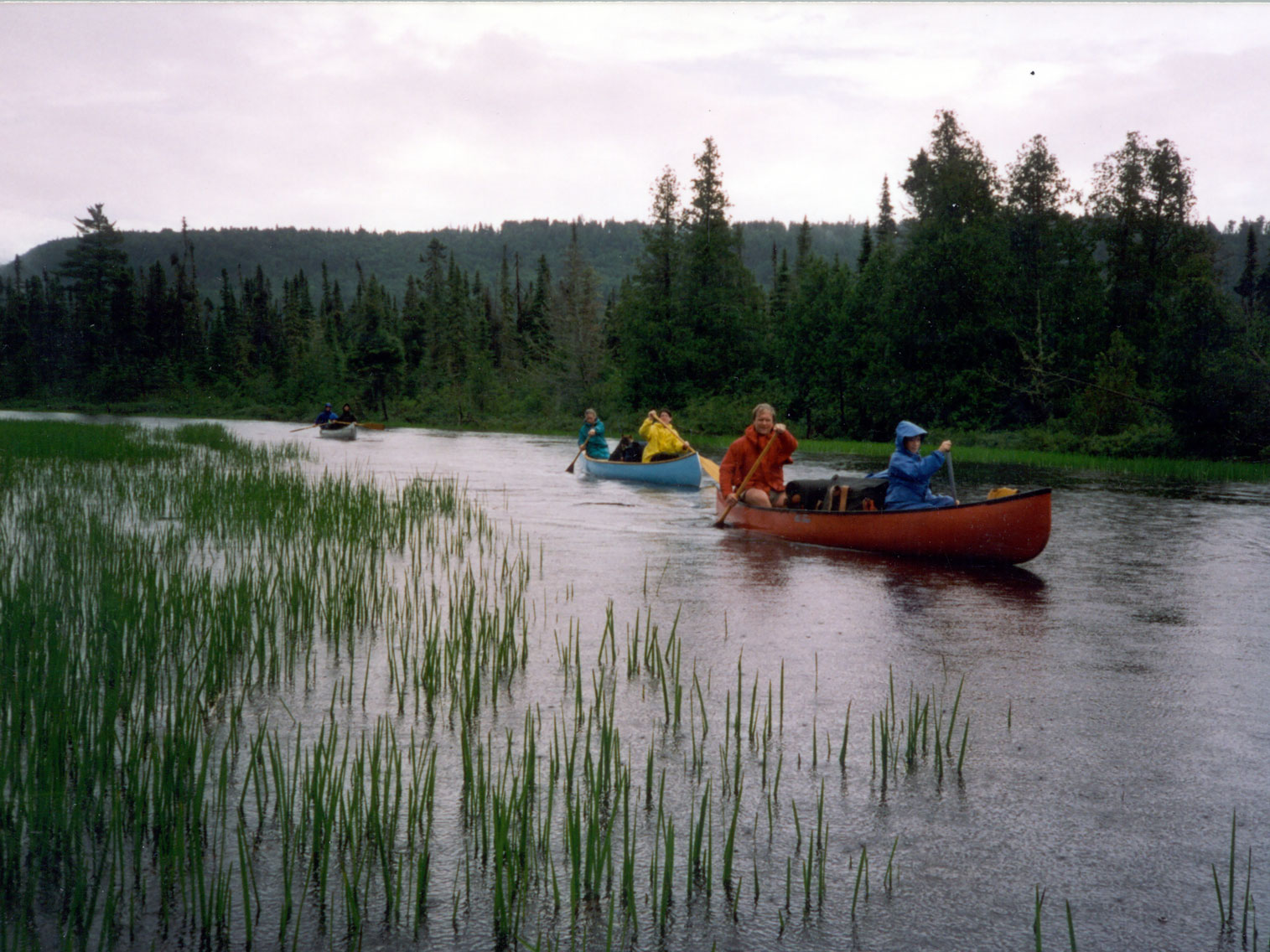
The BWCAW contains more than 2,000 backcountry campsites, 1,200 miles (1,900 km) of canoe routes, and 12 different hiking trails and is popular for canoeing, canoe touring, fishing, backpacking, dog sledding, and enjoying the area's remote wilderness character.
Permits are required for all overnight visits to the BWCAW. Quota permits are required for groups taking an overnight paddle, motor, or hiking trip, or a motorized day-use trip into the BWCAW from May 1 through September 30. These permits must be reserved in advance. Day use paddle and hiking permits do not require advance reservation and can be filled out at BWCAW entry points. From October 1 through April 30, permit reservations are not necessary, but a permit must be filled out at the permit stations located at each entry point.
The BWCAW contains a variety of hiking trails. Shorter hikes include the trail to Eagle Mountain (7 miles (11 km)). Loop trails include the Pow Wow Trail, the Snowbank Trail, and the Sioux-Hustler Trail. The Border Route Trail and Kekekabic Trail are the two longest trails running through the BWCAW. The Border Route Trail runs east-west for over 65 miles (105 km) through the eastern BWCAW, beginning at the northern end of the Superior Hiking Trail and following ridges and cliffs west until it connects with the Kekekabic Trail. The Kekekabic Trail continues for another 41 miles (66 km), beginning near the Gunflint Trail and passing through the center of the BWCAW before exiting it near Snowbank Lake. Both the Border Route and the Kekekabic Trail are part of the longer North Country National Scenic Trail.
Fishing is a popular activity in the BWCAW. Game species include northern pike, walleye, largemouth bass, smallmouth bass, and occasional panfish. Trout including brook trout, lake trout, rainbow trout and splake are also found. White sucker, burbot, and whitefish also occur. Limited stocking of walleye and lake trout is done on some lakes where natural recruitment is limited. The wilderness contains one of the largest concentrations of native lake trout lakes in the lower 48 states.
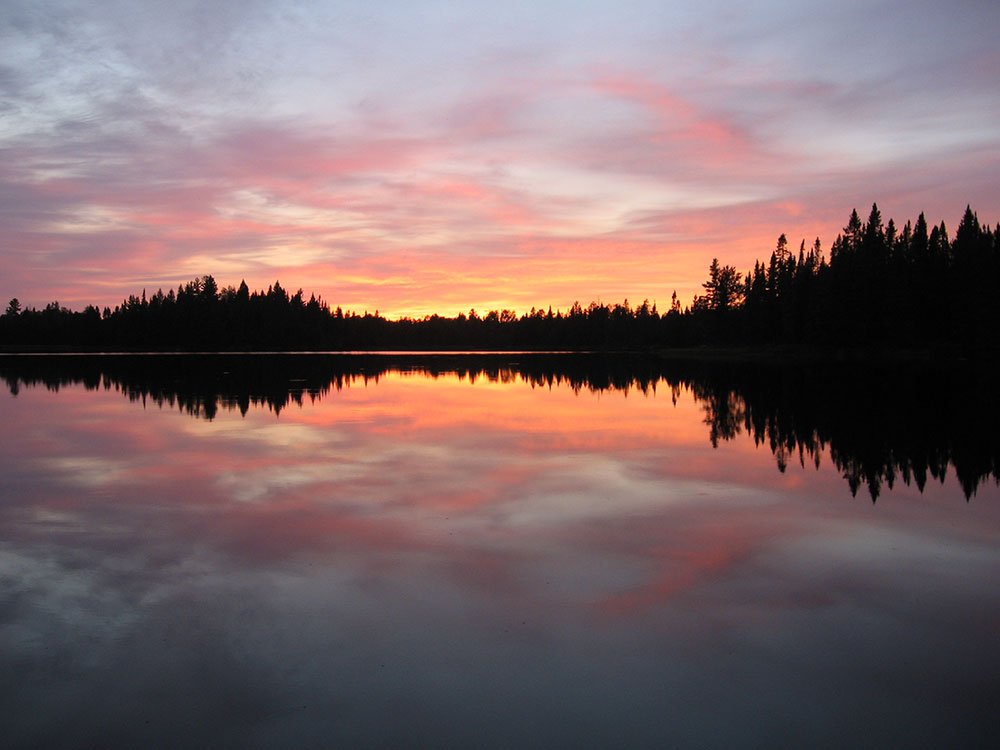
Night sky viewing
In 2020 the BWCA became a designated Dark Sky Sanctuary, one of 15 in the world.
This article uses material from the Wikipedia article "Boundary Waters Canoe Area Wilderness", which is released under the Creative Commons Attribution-Share-Alike License 3.0
-1000.jpg)
.jpg)