Isle Royale National Park Travel Guide
National park consisting of Isle Royale, the fourth-largest lake island in the world, and more than 400 small adjacent islands, as well as the surrounding waters of Lake Superior
General Information
Open 24 hours a day during the operating season
Closed to visitors November 1 through April 15
Children 15 and under: Free
Isle Royale Season Pass: $60
Federal Recreation Passes accepted (America the Beautiful, Senior, Access, Military, and others)
Transportation fees for ferry or seaplane service are additional
How to Get There
From Houghton, MI: Travel to the Ranger III ferry terminal at 800 E Lakeshore Dr in Houghton, then board the ferry across Lake Superior to Rock Harbor on Isle Royale National Park.
Overview
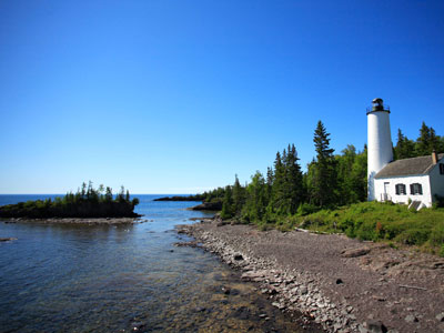
Isle Royale National Park is a national park consisting of Isle Royale and more than 400 small adjacent islands, as well as the surrounding waters of Lake Superior, in Michigan. Isle Royale is 45 miles (72 km) long and 9 miles (14 km) wide, with an area of 206.73 square miles (535.4 km2), making it the fourth-largest lake island in the world. In addition, it is the largest natural island in Lake Superior, the second-largest island in the Great Lakes (after Manitoulin Island), the third-largest in the contiguous United States (after Long Island and Padre Island), and the 33rd-largest island in the United States.
Isle Royale National Park was established on April 3, 1940, then additionally protected from development by wilderness area designation in 1976, declared a UNESCO International Biosphere Reserve in 1980, and added to the National Register of Historic Places in 2019 as the Minong Traditional Cultural Property. The park covers 894 square miles (2,320 km2), with 209 square miles (540 km2) of land and 685 square miles (1,770 km2) of surrounding waters.
The park's northern boundary lies adjacent to the Canadian Lake Superior National Marine Conservation Area along the international border.
The highest point on the island is Mount Desor at 1,394 feet (425 m), or about 800 feet (240 m) above lake level.
Isle Royale is within about 15 miles (24 km) from the shore of the Canadian province of Ontario and adjacently, the state of Minnesota (near the city of Thunder Bay), and is 56 miles (90 km) from the Michigan shore, on the Keweenaw Peninsula, itself part of Upper Peninsula. There are no roads on the island, and wheeled vehicles or devices, other than wheelchairs, are not permitted. Rock Harbor has wheeled carts available to move personal belongings from the Rock Harbor marina to the cabins and hotel.
Topsoil tends to be thin, which favors trees that have horizontal root patterns such as balsam fir, white spruce, and black spruce.
Siskiwit Lake is the largest lake on the island. Siskiwit Lake contains several islands, including Ryan Island, the largest.
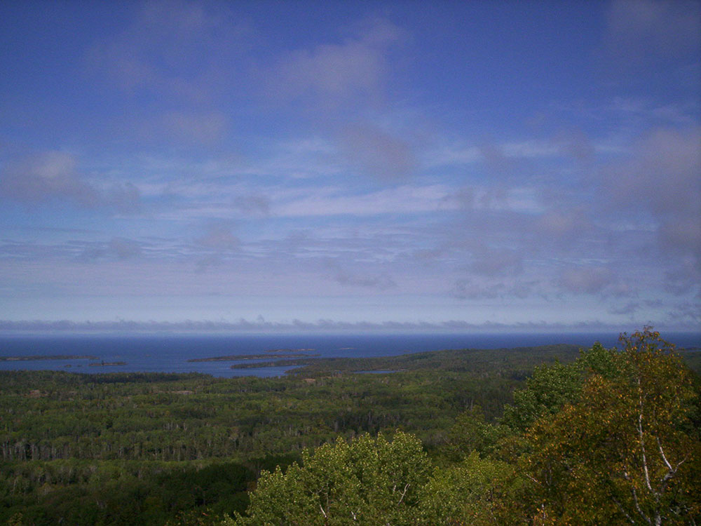
A number of habitats exist on the island, the primary being boreal forest, similar to neighboring Ontario and Minnesota. Upland areas along some of the ridges are effectively "balds" with exposed bedrock and a few scrubby trees, blueberry bushes, and hardy grasses. Occasional marshes exist, which are typically the by-product of beaver activities. There are also several lakes, often with wooded or marshy shores. The climate, especially in lowland areas, is heavily influenced by the cold waters of Lake Superior.
The predominant floral habitats of Isle Royale are within the Laurentian Mixed Forest Province. The area is a temperate broadleaf and mixed forests biome transition zone between the true boreal forest to the north and Big Woods to the south, with characteristics of each. It has areas of both broadleaf and conifer forest cover, and bodies of water ranging from conifer bogs to swamps.
Conifers include jack pines (Pinus banksiana), black and white spruces (Picea mariana and Picea glauca), balsam firs (Abies balsamea), and eastern redcedars (Juniperus virginiana).
Deciduous trees include quaking aspens (Populus tremuloides), red oaks (Quercus rubra), paper birches (Betula papyrifera), American mountain ash (Sorbus americana), red maples (Acer rubrum), sugar maples (Acer saccharum), and mountain maples (Acer spicatum). There are over 600 species of flowering plants found in Isle Royale National Park such as wild sarsaparilla, marsh-marigold, wood lily and prickly wild rose.
Isle Royale National Park is known for its timber wolf and moose populations. Other common mammals are red foxes, beavers, and red squirrels. Some foxes are quite used to human contact, and can be seen prowling the campgrounds at dawn, looking for stray scraps left by unwary campers. For its part, the wolf is an elusive species which avoids human interaction. Few documented cases of direct wolf/human contact exist. Ermine have been periodically sighted around docks. Other mammals that can be seen include mink (along the various lake shores) and muskrats (occasionally at beaver ponds). Several species of bat also exist on the island. Reptiles include the eastern garter snake, painted turtle, and northern redbelly snake. Six species of frogs and three species of salamander also live on the island.
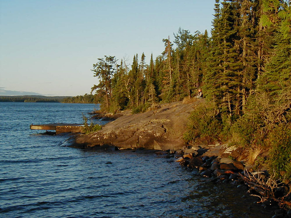
The island is composed largely of ridges, running roughly southwest-to-northeast. The main ridge, Greenstone Ridge, is over 1,000 feet (300 m) in many places. Greenstone belts are exposed, with rounded stones of chlorastrolite, also known as greenstone, near and in the lake.
The two main rock assemblages found on the island include the Portage Lake Volcanics and the Copper Harbor Conglomerate, both Precambrian in age. The volcanics are mainly ophitic flood basalts, some 100 individual flows over an accumulated thickness of at least 10,000 feet. The conglomerate outcrops on the southwestern portion of the island and consists of sedimentary rock derived from volcanic rocks in present-day Minnesota. Glacial erosion accentuated the ridge and valley topography from pre-glacial stream erosion. Glacial striations indicate a generally westward movement of the glaciers as do the recessional moraines west of Lake Desor. Drumlins are found west of Siskiwit Lake.
Recreational activity on Isle Royale includes hiking, backpacking, fishing, boating, canoeing, kayaking, and observing nature.
The island offers approximately 170 miles (270 km) of hiking trails for everything from day hikes to a two-week circumnavigation hike. The Greenstone Ridge is a high ridge in the center of the island and carries the longest trail in the park, the Greenstone Ridge Trail, which runs 40 miles (64 km) from one end of the island to the other. This is generally done as a 4 or 5 day hike. A boat shuttle can carry hikers back to their starting point. The trail leads to the peak of Mount Desor, at 1,394 feet (425 m), the highest point on the island, and passes through northwoods wilderness, and by inland glacial lakes, swamps, bogs and scenic shorelines.
There are also canoe/kayak routes, many involving portages, along coastal bays and inland lakes.
The park has two developed areas:
- Windigo, at the southwest end of the island (docking site for the ferries from Minnesota), with a campstore, showers, campsites, rustic camper cabins and a boat dock.
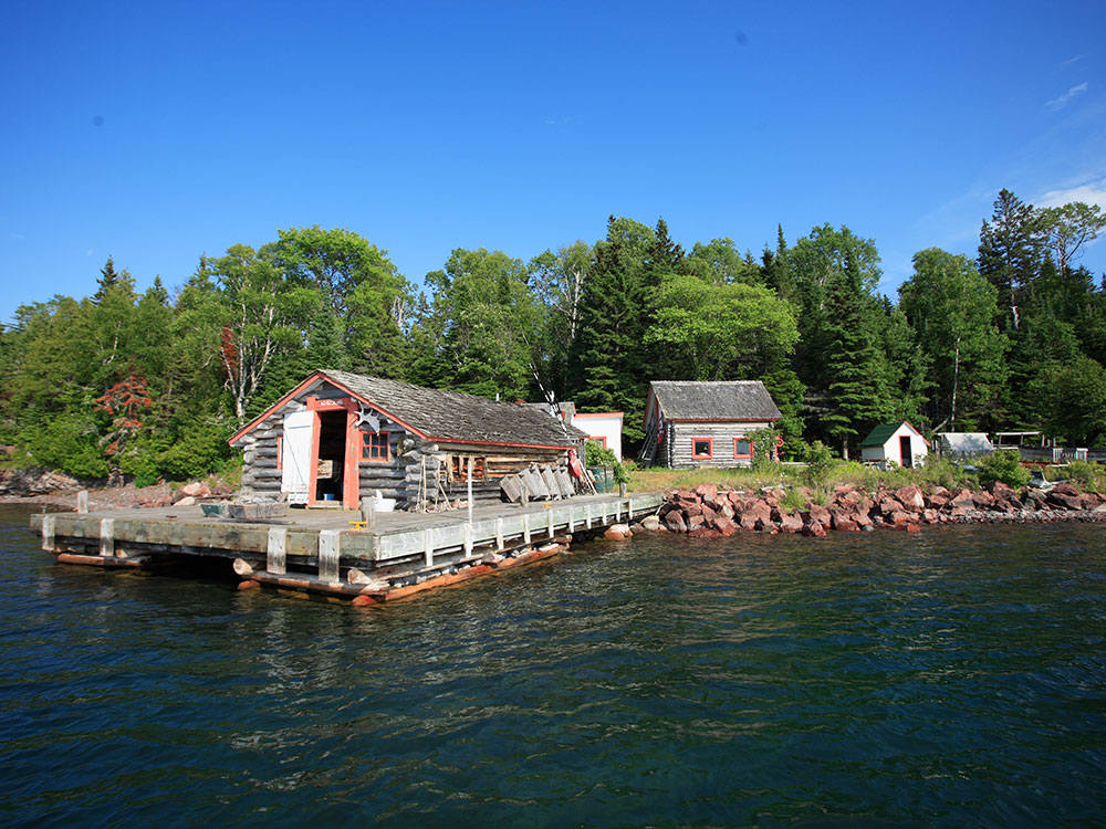
- Rock Harbor on the south side of the northeast end (docking site for the ferries from Michigan), with a campstore, showers, restaurant, lodge, campsites, and a boat dock. Non-camping sleeping accommodations at the park are limited to the lodge at Rock Harbor and the camper cabins at Windigo.
The park has 36 designated wilderness campgrounds. Some campgrounds in the interior are accessible only by trail or by canoe/kayak on the island lakes. Other campgrounds are accessible only by private boat. The campsites vary in capacity but typically include a few three-sided wood shelters (the fourth wall is screened) with floors and roofs.
The park is accessible by ferries, floatplanes, and passenger ships during the summer months—from Houghton and Copper Harbor in Michigan and Grand Portage in Minnesota. Private boats travel to the island from the coasts of Michigan, Minnesota, and Ontario. Day-trip ferry service is provided from Copper Harbor and Grand Portage to and from the park.
Isle Royale is the only American national park to entirely close in the winter months, from November 1 through April 15, due to extreme weather conditions and for the safety and protection of visitors.
Scheduled ferry service operates from Grand Portage, Copper Harbor and Houghton.
The Grand Portage ferries reach the island in 1 1/2 hours, and stay 4 hours at the island, allowing time for hiking, a guided hike or program by the park staff, and picnics.
The Isle Royale Queen serves park visitors out of Copper Harbor, on the northern Upper Peninsula coast of Michigan. It arrives at Rock Harbor in the park in 3 to 3 1/2 hours, spends 3 1/2 hours before returning to Copper Harbor.
The Sea Hunter operates round-trips and offers day trips to the Windigo visitor center through much of the season, and less frequently in early summer and autumn; it will transport kayaks and canoes for visitors wanting to explore the park from the water. It is the fastest ferry serving the island and arrives in 1 1/2 hours, including some sightseeing points along the way out and back. Because of the relatively short boat ride, day visitors are able to get four hours on the island, and get back to the mainland earlier in the afternoon.
The Ranger III is a 165-foot (50 m) ship that serves park visitors from Houghton, Michigan to Rock Harbor. It is operated by the National Park Service. It carries 125 passengers, along with canoes, kayaks, and even small powerboats. It is a six-hour voyage from Houghton to the park. The ship stays overnight at Rock Harbor before returning the next day, making two round trips each week from June to mid-September.
The Voyageur II, out of Grand Portage, crosses up to three times a week, overnighting at Rock Harbor and providing transportation between popular lakeside campgrounds. In the fall season, in addition to carrying campers and hikers, it provides day-trip service to Windigo on weekends. The Voyageur transports kayaks and canoes for visitors wanting to explore the island from the water. The Voyageur II and other boat taxi services ferry hikers to points along the island, allowing a one-way hike back to Rock Harbor or Windigo. Visitors may land at Rock Harbor and depart from Windigo several days later, or vice versa. Hikers frequently ride it in one direction to do a cross-island hike and then get picked up at the other end.
This article uses material from the Wikipedia article "Isle Royale National Park", which is released under the Creative Commons Attribution-Share-Alike License 3.0
-1000.jpg)
.jpg)
-1000.jpg)
.jpg)

-750.jpg)
.jpg)
-1000.jpg)
.jpg)