Day 1 - El Paso to Big Bend National Park, 292 miles:
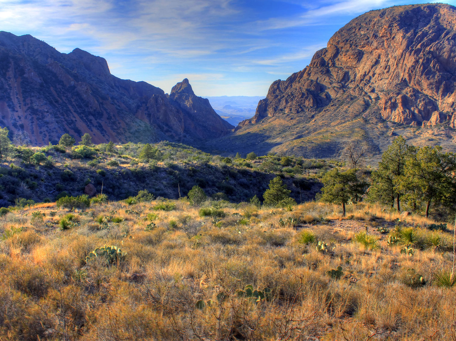
Drive through the Chihuahuan desert of West Texas to Big Bend National Park. Drive the Dagger Flat Auto Trail, a 7 mile gravel track leading to a grove of giant yucca plants. Take the scenic drive past Panther Junction Visitor Center and through the Chisos Mountians through the 5679 feet highpoint over Panther Pass. Stop at the Chisos Basin and view the V-shaped gap known as The Window from a short trail to an outlook and if time permits hike down to the window itself.
Day 2 - Big Bend National Park:
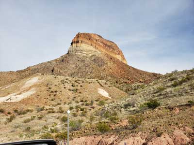
Continue to explore the vast areas of Big Bend by heading East to Rio Grande Village which includes a hot spring and Boquillas Canyon then head West along the scenic drive past the Mules Ears rock formation, stopping for a quick hike through Tuff Canyon and then a hike into the Santa Elena Canyon.
Day 3 - Big Bend National Park to Guadalupe Mountains National Park, 239 miles:
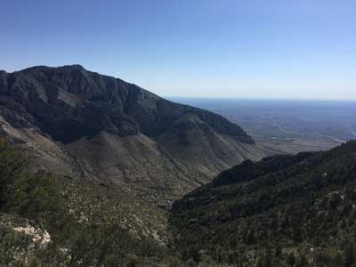
Continue North through the Chihuahuan Desert to Guadalupe Mountains National Park. Explore the many sites and trails of the park or for the more adventurous take the strenuous yet beautiful hike to the summit of Guadalupe Peak, the highest point in Texas.
Day 4 - Guadalupe Mountains National Park to Carlsbad Cavern National Park, 32 miles:
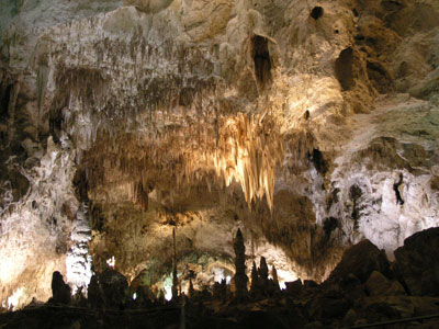
A short drive from Guadalupe Mountians is Carlsbad Caverns National Park. Either go through the visitor center and take the elevator down 1000 feet to the immense cavern or hike down through the natural entrance. Take the self guided tour through the large cavern and if time permits take one of the specialty ranger guided tours. At sunset stop at the outside amphitheater to see the amazing scene of thousands of bats errupt through the natural entrance to the night skies.
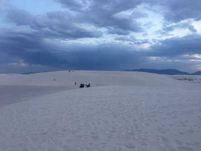
Day 5 - Carlsbad Cavern National Park to White Sands National Park, 181 miles:
Carlsbad Cavern National Park to White Sands National Park, 181 miles: Drive West past Alamogordo to White Sands National Park. Take at least a short hike through the rare gypsum made white sand or join the locals and slide down the dunes with makeshift sleds.
Day 6 - Return to El Paso, 95 miles
Guadalupe Mountains NP
White Sands NP

Las Vegas, Nevada
El Paso to Big Bend National Park
292 miles
DAY 1
Drive through the Chihuahuan desert of West Texas to Big Bend National Park. Drive the Dagger Flat Auto Trail, a 7 mile gravel track leading to a grove of giant yucca plants. Take the scenic drive past Panther Junction Visitor Center and through the Chisos Mountians through the 5679 feet highpoint over Panther Pass. Stop at the Chisos Basin and view the V-shaped gap known as The Window from a short trail to an outlook and if time permits hike down to the window itself.
Where to Stay
Big Bend Campground