Lewis and Clark Expedition Travel Guide
-400.jpg)
Places to See on the Lewis and Clark Expedition
-400.jpg)
PortableNYCTours, CC BY-SA 4.0, via Wikimedia Commons; Image Size Adjusted
.jpg)
Gateway Arch National Park
St. Louis
Cathedral in the Morningside Heights neighborhood of Manhattan is the world's sixth-largest church by area

Anthony Quintano from Hillsborough, NJ, United States, CC BY 2.0, via Wikimedia Commons; Image Size Adjusted
.jpg)
St. Charles Historic District
St. Charles
Most visited urban park in the United States, with an estimated 42 million visitors annually as of 2016, and is the most filmed location in the world

bryan..., CC BY-SA 2.0, via Wikimedia Commons; Image Size Adjusted
.jpg)
Fort Osage National Historic Landmark
Sibley
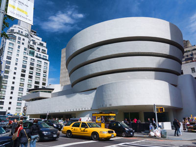
Museum complex comprises 26 interconnected buildings housing 45 permanent exhibition halls, in addition to a planetarium and a library
Rhododendrites, CC BY-SA 4.0, via Wikimedia Commons; Image Size Adjusted
.jpg)
Kaw Point Park
Kansas City
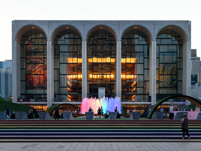
16.3-acre complex of buildings houses nationally and internationally renowned performing arts organizations including the New York Philharmonic, the Metropolitan Opera, and the New York City Ballet
.jpg)
Lewis and Clark Interpretive Trails and Visitor Center Missouri River Basin
Nebraska City
Largest art museum in the United States. Its permanent collection contains over 2 million works, divided among 17 curatorial departments

Jdforrester, CC BY 4.0, via Wikimedia Commons; Image Size Adjusted

Fort Atkinson State Historical Park
Fort Calhoun
Aerial tramway in New York City that spans the East River and connects Roosevelt Island to the Upper East Side of Manhattan
Jean-Christophe BENOIST, CC BY 3.0, via Wikimedia Commons; Image Size Adjusted

Lewis and Clark National Historic Trail Headquarters and Visitor Center
Omaha
Art museum that is home of a continuously expanding collection of Impressionist, Post-Impressionist, early Modern, and contemporary art
Ajay Suresh from New York, NY, USA, CC BY 2.0, via Wikimedia Commons; Image Size Adjusted
.jpg)
Lewis and Clark Landing at Riverfront
Omaha
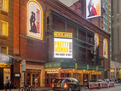
Theatrical performances which are presented in the 41 professional theatres, located in the Theater District and the Lincoln Center along Broadway
-400.jpg)
ajay_suresh, CC BY 2.0, via Wikimedia Commons; Image Size Adjusted
.jpg)
Floyd's Bluff
Sioux City
9.6-acre (39,000 m2) public park in Midtown Manhattan where the eastern half is occupied by the Main Branch of the New York Public Library and the western half contains a lawn, and shaded walkways
Misterweiss at English Wikipedia, Public domain, via Wikimedia Commons; Image Size Adjusted

Lewis and Clark Recreation Area
Yankton
Art Deco skyscraper in the Turtle Bay neighborhood on the East Side of Manhattan is the tallest brick building in the world with a steel framework
Hypnotoad78, CC BY-SA 4.0, via Wikimedia Commons; Image Size Adjusted

Spirit Mound State Historic Prairie
Vermillion
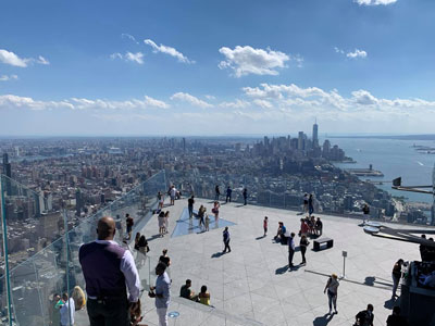
Outdoor terrace jutting 80 feet outward south, providing panoramic views of Manhattan and the Hudson River
Fort Mandan State Historic Site
Washburn
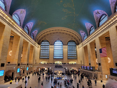
Commuter rail terminal in Midtown Manhattan known for its distinctive architecture and interior design that have earned it several landmark designations
_(51395759113)-400.jpg)
ajay_suresh, CC BY 2.0, via Wikimedia Commons; Image Size Adjusted
_(51395759113).jpg)
Knife River Indian Villages National Historic Site
Stanton
Art museum located in Midtown Manhattan is often identified as one of the largest and most influential museums of modern art in the world
-400.jpg)
Ingfbruno, CC BY-SA 3.0, via Wikimedia Commons; Image Size Adjusted
.jpg)
Missouri Yellowstone Confluence Interpretive Center
Williston
Flagship building in the New York Public Library system and a landmark in Midtown Manhattan
PumpkinSky, CC BY-SA 3.0, via Wikimedia Commons; Image Size Adjusted

Great Falls
Great Falls
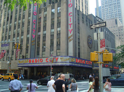
Art Deco styled entertainment venue within Rockefeller Center known for its large auditorium
Tower Rock State Park
Cascade
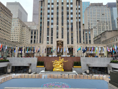
Large complex consisting of 19 commercial buildings covering 22 acres (89,000 m2) between 48th Street and 51st Street in Midtown Manhattan

Jean-Christophe BENOIST, CC BY 3.0, via Wikimedia Commons; Image Size Adjusted

Missouri Headwaters State Park
Three Forks
Catholic cathedral in the Midtown Manhattan is the largest Gothic Revival Catholic cathedral in North America
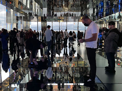
Saggittarius A, CC BY-SA 4.0, via Wikimedia Commons; Image Size Adjusted

Beaverhead Rock State Park
Dillon
Observation deck consisting of glass-floored elevators and enclosed glass balconies that protrude from the facade
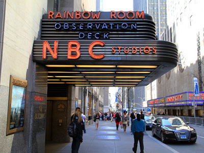
NBCUniversal, CC BY 3.0, via Wikimedia Commons; Image Size Adjusted
Traveler's Rest State Park
Lolo
Centerpiece of Rockefeller Center houses the headquarters and New York studios of television network NBC; the Rainbow Room restaurant; and Top of the Rock observation deck
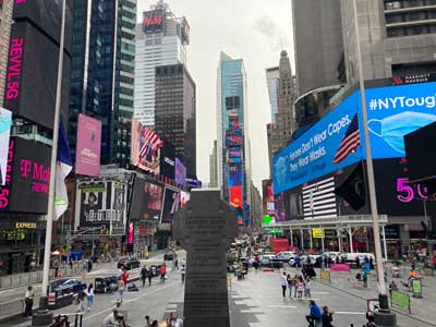
Lewis and Clark Interpretive Center
Great Falls
Major commercial intersection, tourist destination, entertainment center, brightly lit by numerous billboards and advertisements, is one of the world's busiest pedestrian areas, and the hub of the Broadway Theater District
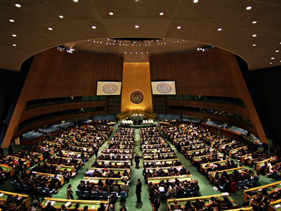
Basil D Soufi, CC BY-SA 3.0, via Wikimedia Commons; Image Size Adjusted
.jpg)
Lewis and Clark Memorial
Fort Benton
Complex that has served as the official headquarters of the United Nations since 1951 and holds the seats of the principal organs of the UN
MusikAnimal, CC BY-SA 4.0, via Wikimedia Commons; Image Size Adjusted

Pompeys Pillar National Monument
Pompeys Pillar
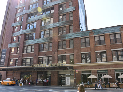
Food hall, shopping mall, office building and television production facility located in the Chelsea neighborhood of Manhattan
Gates of the Mountains Wilderness
Helena
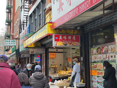
Neighborhood in Lower Manhattan is the home to the highest concentration of Chinese people in the Western Hemisphere and is one of the oldest Chinese ethnic enclaves
Sam valadi, CC BY 2.0, via Wikimedia Commons; Image Size Adjusted

Upper Missouri River Breaks National Monument
Fort Benton
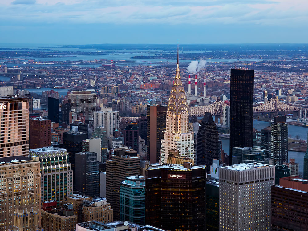
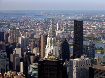
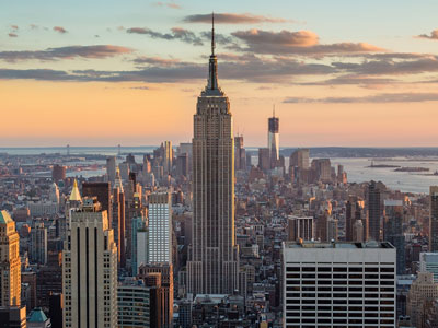
102-story Art Deco skyscraper in Midtown Manhattan
PortableNYCTours, CC BY-SA 4.0, via Wikimedia Commons; Image Size Adjusted
.jpg)
Lewis and Clark Caverns State Park
Whitehall
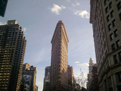
Triangular 22-story, 285-foot-tall (86.9 m) steel-framed landmarked building located in the eponymous Flatiron District neighborhood of Manhattan
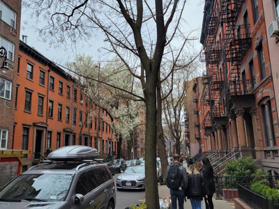
Lemhi Pass
Tendoy
Neighborhood on the west side of Lower Manhattan known as an artists' haven, bohemian capital, cradle of the modern LGBT movement, and the East Coast birthplace the Beat and '60s counterculture movements
Jeff P from Berkeley, CA, USA, CC BY 2.0, via Wikimedia Commons; Image Size Adjusted
.jpg)
Weippe Prairie
Weippe
Small, fenced-in private park and the surrounding neighborhood that is referred to also as Gramercy, in Manhattan
Matias Garabedian from Montreal, Canada, CC BY-SA 2.0, via Wikimedia Commons; Image Size Adjusted
.jpg)
Lolo Pass
Lolo Pass
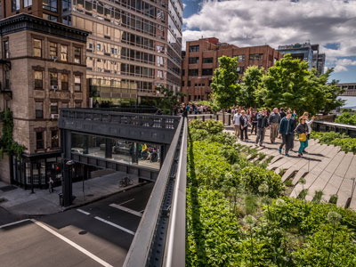
1.45-mile-long (2.33 km) elevated linear park, greenway and rail trail created on a former New York Central Railroad spur on the west side of Manhattan

Epicgenius, CC BY-SA 4.0, via Wikimedia Commons; Image Size Adjusted

Jim.henderson, CC BY 4.0, via Wikimedia Commons; Image Size Adjusted
_jeh.jpg)
Beacon Rock State Park
Stevenson
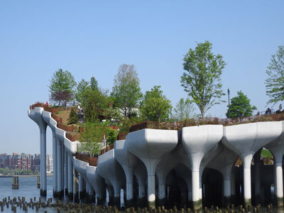
Artificial island park in the Hudson River west of Manhattan is supported by 132 pot-shaped structures suspended above the water
PortableNYCTours, CC BY-SA 4.0, via Wikimedia Commons; Image Size Adjusted
Cape Disappointment
Ilwaco
Cathedral in the Morningside Heights neighborhood of Manhattan is the world's sixth-largest church by area
Anthony Quintano from Hillsborough, NJ, United States, CC BY 2.0, via Wikimedia Commons; Image Size Adjusted
Lewis and Clark Trail State Park
Dayton
Most visited urban park in the United States, with an estimated 42 million visitors annually as of 2016, and is the most filmed location in the world
bryan..., CC BY-SA 2.0, via Wikimedia Commons; Image Size Adjusted
Lewis and Clark National Historical Park
Astoria
Museum complex comprises 26 interconnected buildings housing 45 permanent exhibition halls, in addition to a planetarium and a library
Rhododendrites, CC BY-SA 4.0, via Wikimedia Commons; Image Size Adjusted
Astoria
Astoria
16.3-acre complex of buildings houses nationally and internationally renowned performing arts organizations including the New York Philharmonic, the Metropolitan Opera, and the New York City Ballet
Lewis and Clark Salt Works
Seaside
Largest art museum in the United States. Its permanent collection contains over 2 million works, divided among 17 curatorial departments
Jdforrester, CC BY 4.0, via Wikimedia Commons; Image Size Adjusted
Ecola State Park
Cannon Beach
Aerial tramway in New York City that spans the East River and connects Roosevelt Island to the Upper East Side of Manhattan
Overview
Lewis and Clark Expedition Timeline (1804-1806)
The Lewis and Clark Expedition, officially known as the Corps of Discovery, was commissioned by President Thomas Jefferson following the Louisiana Purchase. Between 1804 and 1806, Meriwether Lewis, William Clark, and their team traveled from the Mississippi River to the Pacific Ocean, mapping territory, documenting plants and wildlife, and establishing diplomatic relations with Native American nations. The following timeline highlights significant locations along the expedition route using modern historical sites and landmarks.
1804: Departure and Journey Up the Missouri River
Missouri
- Gateway Arch National Park (St. Louis) - Represents the starting region of the expedition and America's expansion into the West following the Louisiana Purchase.
- St. Charles Historic District - In May 1804, the expedition departed from St. Charles, the last major American settlement before entering the frontier.
- Fort Osage National Historic Landmark (Sibley) - Located along the Missouri River route traveled by the Corps of Discovery as it journeyed west.
Kansas
- Kaw Point Park (Kansas City) - From June 26-28, 1804, the expedition camped at the confluence of the Kansas and Missouri Rivers while making repairs and conducting observations.
1804: Through Nebraska and Iowa
Nebraska
- Lewis And Clark Landing At Riverfront (Omaha) - Commemorates the expedition's passage through the Omaha area.
- Lewis And Clark National Historic Trail Headquarters and Visitor Center (Omaha) - Modern interpretive center detailing the expedition's achievements and route.
- Lewis and Clark Interpretive Trails and Visitor Center Missouri River Basin (Nebraska City) - Marks the expedition's travel through southeastern Nebraska along the Missouri River.
- Fort Atkinson State Historical Park - Near the site of important meetings between the expedition and Native peoples in 1804.
Iowa
- Floyd's Bluff (Sioux City) - On August 20, 1804, Sergeant Charles Floyd died here, becoming the expedition's only fatality.
1804: Through South Dakota
South Dakota
- Spirit Mound State Historic Prairie - Lewis climbed this mound after hearing Native stories about mysterious inhabitants, discovering expansive prairie views instead.
- Lewis and Clark Recreation Area - Located along a stretch of the Missouri River where the expedition traveled and camped during the fall of 1804.
Winter 1804-1805: Among the Mandan and Hidatsa
North Dakota
- Knife River Indian Villages National Historic Site - Site where the Corps established relations with the Mandan and Hidatsa peoples and met Sacagawea and Toussaint Charbonneau.
- Fort Mandan State Historic Site - Winter headquarters of the expedition from November 1804 through April 1805.
1805: Toward the Rocky Mountains
North Dakota
- Missouri Yellowstone Confluence Interpretive Center (Williston / Fort Buford) - Marks the important junction of the Yellowstone and Missouri Rivers encountered by the expedition.
Montana
- Upper Missouri River Breaks National Monument (Fort Benton / Lewistown) - The expedition navigated dramatic river canyons and rugged badlands.
- Lewis And Clark Memorial (Fort Benton) - Commemorates the Corps' passage through Montana's upper Missouri region.
- Tower Rock State Park - A prominent landmark noted by William Clark in July 1805.
- Gates Of The Mountains Wilderness (Helena) - Named by Lewis after passing through spectacular limestone canyons.
- Great Falls - Site of a grueling portage around a series of major waterfalls.
- Lewis And Clark Interpretive Center (Great Falls) - Interprets one of the most difficult segments of the expedition.
- Missouri Headwaters State Park - Reached in July 1805 as the Corps approached the source of the Missouri River.
- Beaverhead Rock State Park - Recognized by Sacagawea as a landmark from her childhood homeland.
- Lewis And Clark Caverns State Park (Whitehall) - Located near the route used while approaching the Continental Divide.
1805: Crossing the Continental Divide and Idaho
Idaho
- Lemhi Pass - Lewis crossed the Continental Divide and viewed waters flowing toward the Pacific Ocean.
- Traveler's Rest State Park (Montana) - Major campsite near present-day Missoula before crossing into Idaho.
- Lolo Pass - Crossing point through the Bitterroot Mountains and one of the expedition's greatest challenges.
- Weippe Prairie - The starving Corps emerged from the mountains and received lifesaving assistance from the Nez Perce.
- Nez Perce National Historical Park (Orofino / Spalding) - Commemorates the friendship and support provided by the Nez Perce people.
1805: Reaching the Pacific Northwest
Washington
- Lewis and Clark Trail State Park - Located along the route followed while descending the Columbia River.
- Beacon Rock State Park - One of the most prominent landmarks recorded in the expedition journals.
- Cape Disappointment - In November 1805, Lewis and Clark reached the Pacific coast, completing their westward journey.
Oregon
- Lewis and Clark National Historical Park - Includes Fort Clatsop, where the expedition spent the winter of 1805-1806.
- Astoria - Nearby area explored by expedition members while encamped at Fort Clatsop.
- Lewis and Clark Salt Works (Seaside) - Site where members produced salt by boiling seawater.
- Ecola State Park (Cannon Beach) - Associated with Clark's expedition to view a beached whale and explore the coastline.
1806: The Return Journey
On March 23, 1806, the Corps of Discovery departed Fort Clatsop and began its return to St. Louis. Traveling back through many of the same locations, the expedition re-crossed the Bitterroot Mountains, traversed Montana, and descended the Missouri River. After covering nearly 8,000 miles over more than two years, Lewis and Clark successfully returned to St. Louis on September 23, 1806, completing one of the most significant exploration missions in American history.
Route Summary
St. Louis → St. Charles → Fort Osage → Kaw Point → Omaha → Nebraska City → Fort Atkinson → Floyd's Bluff → Spirit Mound → Fort Mandan → Knife River Villages → Yellowstone Confluence → Upper Missouri River Breaks → Tower Rock → Gates of the Mountains → Great Falls → Missouri Headwaters → Beaverhead Rock → Lemhi Pass → Traveler's Rest → Lolo Pass → Weippe Prairie → Nez Perce Country → Columbia River → Beacon Rock → Cape Disappointment → Fort Clatsop → Return to St. Louis.
This article uses material from National Park Service resources and official Lewis and Clark Trail interpretive sites, including the Lewis and Clark National Historic Trail, which provide historical information about the Corps of Discovery expedition.