-400.jpg)
.jpg)
A dramatic backcountry route traversing Zion’s high plateau and descending into the main canyon, offering expansive views, diverse terrain, and access to iconic landmarks like Angels Landing.
Typical hike time: 7–12+ hours (or 1–2 days backpacking)
Permit required for overnight backpacking only
How to Get There
Top-down route (most popular): Arrange a shuttle or drive to Lava Point via Kolob Terrace Road, about 45–60 minutes from Springdale. This is the traditional starting point for the full trail.
Bottom-up option: Start at The Grotto (Zion Canyon shuttle stop) and follow the West Rim Trail upward toward Scout Lookout and beyond. This route connects directly to the Angels Landing spur trail.
Overview
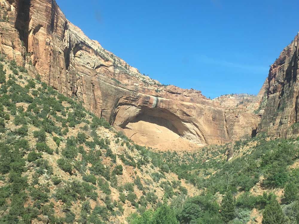
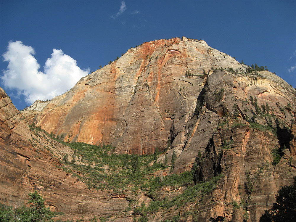
The West Rim Trail is one of the most spectacular and demanding hikes in Zion National Park, stretching from the high-elevation plateau near Lava Point down into the heart of Zion Canyon. Spanning roughly 14–16 miles, it offers an immersive journey through multiple ecosystems, from pine forests and high meadows to sheer sandstone cliffs and desert canyon landscapes.
Hiking the trail from top to bottom is the most popular approach, allowing for a gradual descent of more than 3,000 feet with relatively moderate climbing along the way. Along the route, hikers pass through areas like Potato Hollow and the White Cliffs, eventually reaching dramatic viewpoints overlooking Zion Canyon. The final stretch includes a steep descent carved into the canyon walls, showcasing some of the park’s most impressive engineering and scenery.
The trail also serves as the main access route to Scout Lookout and Angels Landing, making its lower section one of the busiest areas in the park. However, beyond these junctions, the trail quickly becomes quieter, offering a more remote and less crowded backcountry experience with expansive views across Zion’s rugged terrain.
Due to its length, exposure, and limited water availability, the West Rim Trail requires careful planning and preparation. Many hikers complete it as a long day hike, while others choose to split the journey into a two-day backpacking trip with permits for designated campsites along the rim.
With its combination of sweeping vistas, varied landscapes, and connection to some of Zion’s most iconic features, the West Rim Trail is widely considered one of the park’s premier hiking experiences.
This article uses material from the National Park Service and regional Zion National Park hiking resources, including official NPS trail descriptions and regional guide content, which are released under the Creative Commons Attribution-Share-Alike License 3.0.