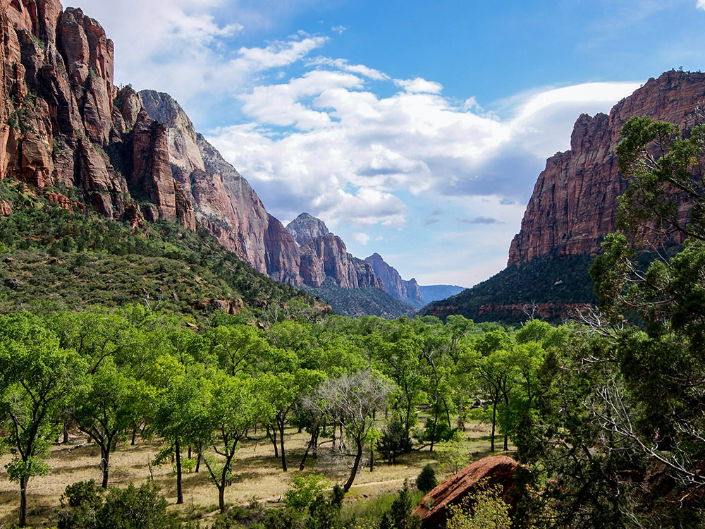
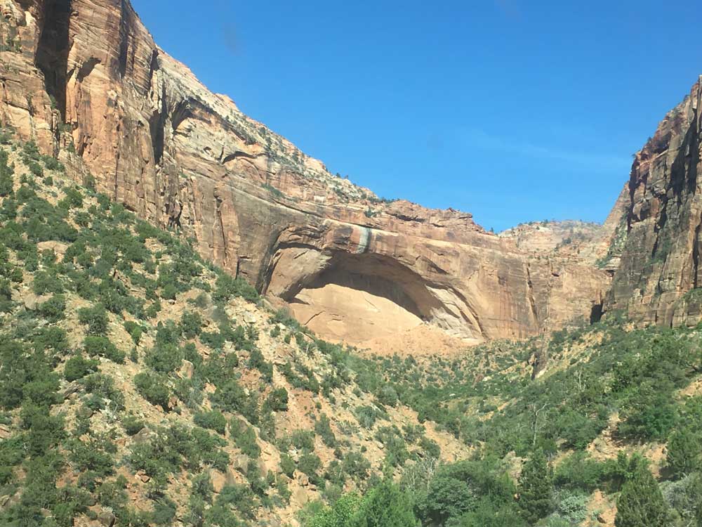
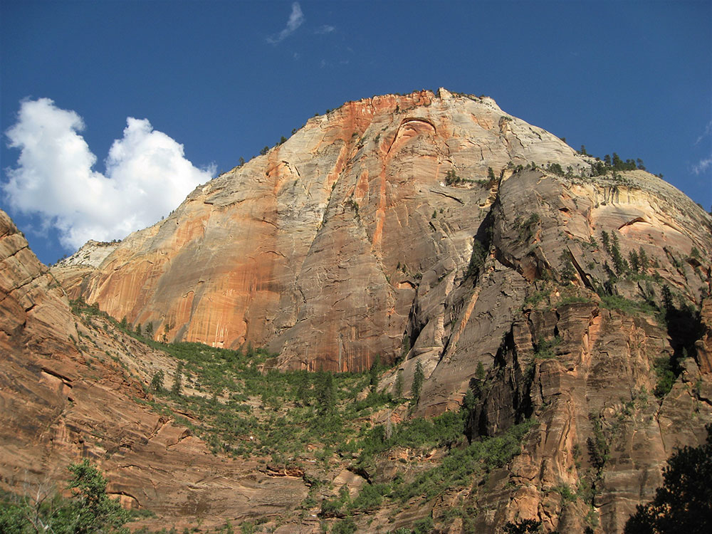
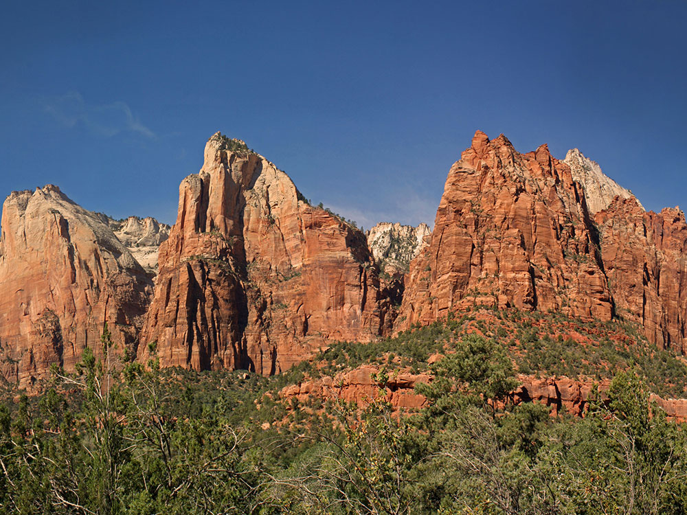
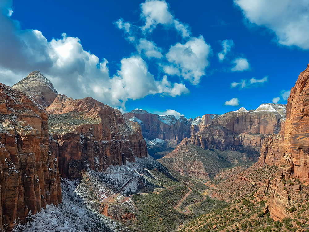
Deep and narrow gorge in southwestern Utah, carved by the North Fork of the Virgin River. Nearly the entire canyon is located within the western half of Zion National Park
How to Get There
From Springdale (1 mi): Drive to the Zion National Park south entrance next to Springdale, park at the Zion Canyon Visitor Center, and board the park shuttle onto Zion Canyon Scenic Drive to explore the canyon.
Overview
Zion Canyon is the main canyon of Zion National Park, a deep, narrow gorge cut by the North Fork of the Virgin River through Navajo sandstone, up to about 3,000 feet deep. It begins at the Temple of Sinawava, and the road follows it for six miles. Settler Isaac Behunin named it "Zion," a place of peace, in the late 1850s, and it was also called Mukuntuweap. The walls are still eroding, and rockfalls are a normal part of its life.
Getting Around
- Zion Canyon Scenic Drive: closed to private cars for much of the year, when a free shuttle serves 9 stops from the Visitor Center to the Temple of Sinawava
- Zion-Mount Carmel Highway: a 25-mile historic road (SR 9) that goes through a 1.1-mile tunnel to the park's east side, with a permit for oversize vehicles
- Trailheads: Angels Landing, Emerald Pools, the Narrows, Weeping Rock, and Riverside Walk
This article uses material from the Wikipedia article "Zion Canyon", "Zion - Mount Carmel Highway", , and "Floor of the Valley Road", which is released under the Creative Commons Attribution-Share-Alike License 3.0