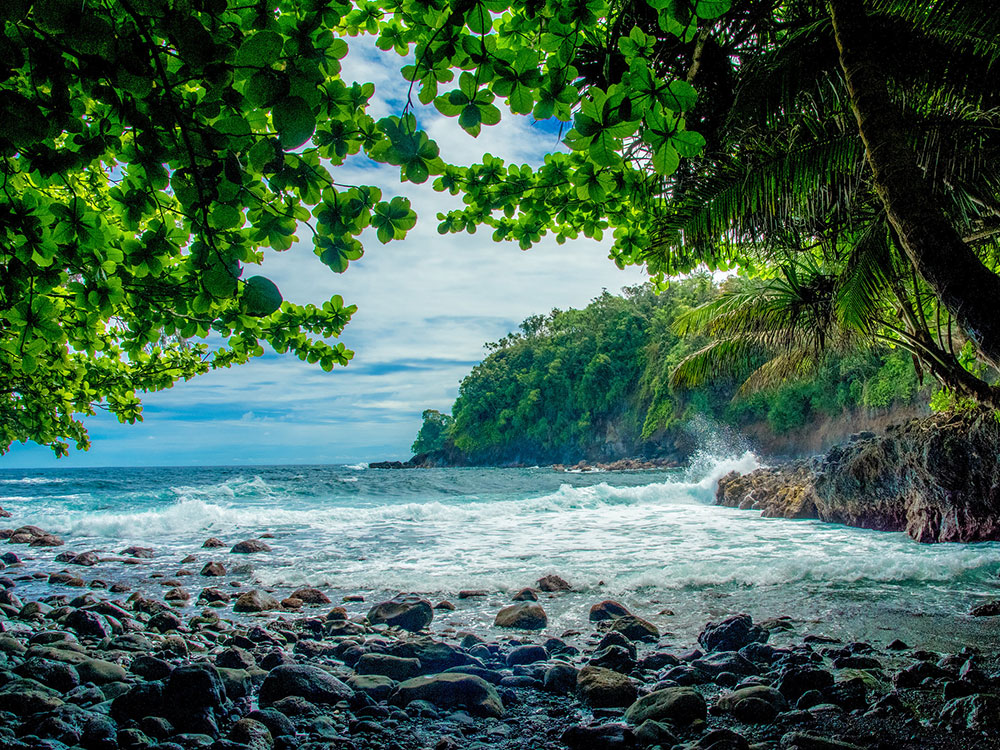
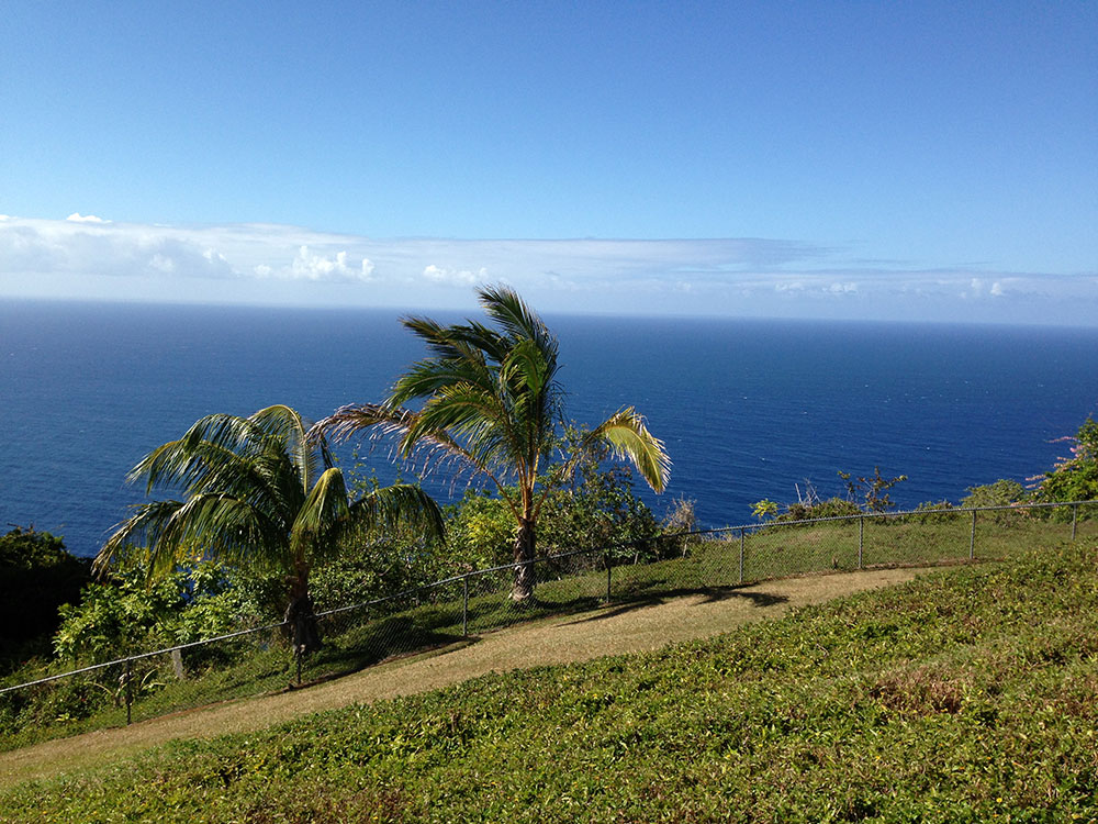
Scenic coastal region known for rainforest-covered cliffs, cascading waterfalls, botanical gardens, and historic plantation towns.
General Information
Best explored during daylight for scenic views and safety
Individual attractions may have specific hours
Akaka Falls State Park: $5 per person or $10 per vehicle
Other attractions may have separate fees
How to Get There
From Hilo (15–40 mi): Take Highway 19 northbound and follow the scenic route through Pepeʻekeo and past Akaka Falls to explore the Hamakua Coast.
Overview
Hāmākua is a district on the Big Island’s northeast coast. The Hāmākua Coast, about 50 miles long, runs from around Hilo to Waipiʻo Valley and the uninhabited Waimanu Valley. Trade-wind rains carve steep valleys and cliffs, giving it lush vegetation and few sandy beaches. Mauna Kea dominates the district.
Things to See
Popular stops along the Māmalahoa Highway (Route 19) include:
- ʻAkaka Falls
- Umauma Falls
- Hawaii Tropical Botanical Garden
- World Botanical Gardens
- Kolekole Beach Park
Native forest survives in steep gulches such as Laupāhoehoe and in protected areas including Kalōpā State Recreation Area, Hakalau Forest National Wildlife Refuge and Mauna Kea Ice Age Reserve.
Getting Around
- The Old Māmalahoa Highway follows a more scenic, twisting route that resembles the Road to Hana on Maui.
- The Saddle Road (Route 200) runs from Hilo across the plateau between Mauna Loa and Mauna Kea, with roads to the Mauna Kea observatories. The U.S. military conducts live-fire training at Pohakuloa along it.
- Communities include Honokaʻa, Kukuihaele, Paʻauilo, Pāpaʻaloa and Āhualoa.
- A railway once linked the sugarcane plantations to Hilo Bay until a 1946 tsunami destroyed it. Its right-of-way became a realigned Route 19 in 1960.
This article uses material from the Wikipedia article "Hamakua", which is released under the Creative Commons Attribution-Share-Alike License 3.0