Dormant volcano rising over 13,000 feet above sea level, home to world-class observatories, cultural sites, and a visitor station offering stargazing and educational programs.
General Information
Summit access may be restricted due to weather or safety
Check conditions before visiting
Guided summit tours may charge fees (typically $250–$300)
Free nightly stargazing programs at Visitor Information Station
How to Get There
From Hilo (35 mi): Take Saddle Road (Daniel K. Inouye Highway) westbound, turn right at the Mauna Kea Access Road, and drive 6 miles to the Visitor Information Station at 9,200 feet elevation.
Overview
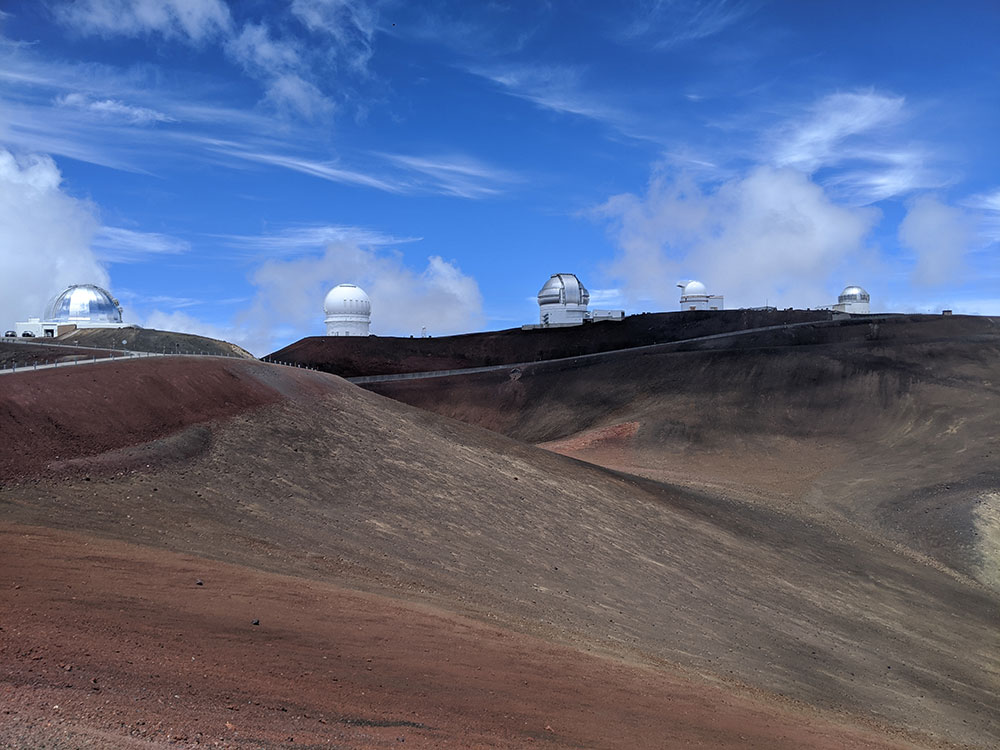
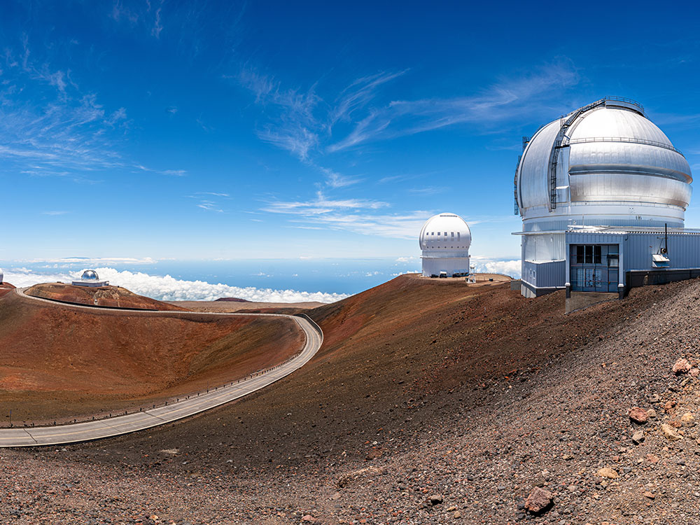
Mauna Kea is a dormant volcano and the highest point in Hawaiʻi at 13,803 feet, about 125 feet higher than neighboring Mauna Loa. Measured from its underwater base, it is taller than Mount Everest. Its summit, above the tree line, is one of the best astronomical sites in the world, home to the Mauna Kea Observatories, the world’s largest such facility, with thirteen telescopes from eleven countries. The observatories, built on land sacred to Native Hawaiians, remain a subject of debate. In Hawaiian religion, the peaks of Hawaiʻi are sacred, and in ancient times only high-ranking aliʻi could visit its summit.
Visiting
- Visitor Information Station: adjacent to the Onizuka Center for International Astronomy at 9,199 feet, where the paved Mauna Kea Access Road ends. Over 100,000 visitors and 32,000 vehicles came each year by 2007.
- Summit road: built in 1964 and still restricted.
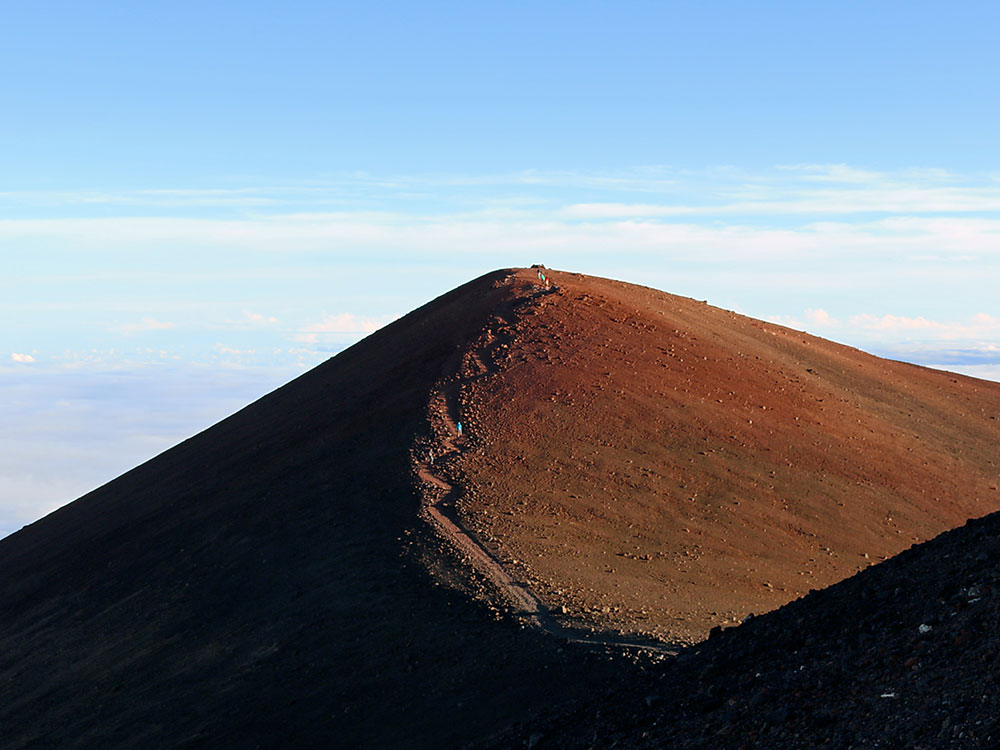
- Hiking: several trails, including the Mauna Kea Trail, the shortest route up thanks to the mountain’s steep flanks.
Good to Know
- Altitude: the risk of altitude sickness, weather, a steep road and inaccessibility make summit trips difficult.
- Climate: alpine, with frosts year-round. Snow may fall above 11,000 feet in any month, most often October to April.
Ecology
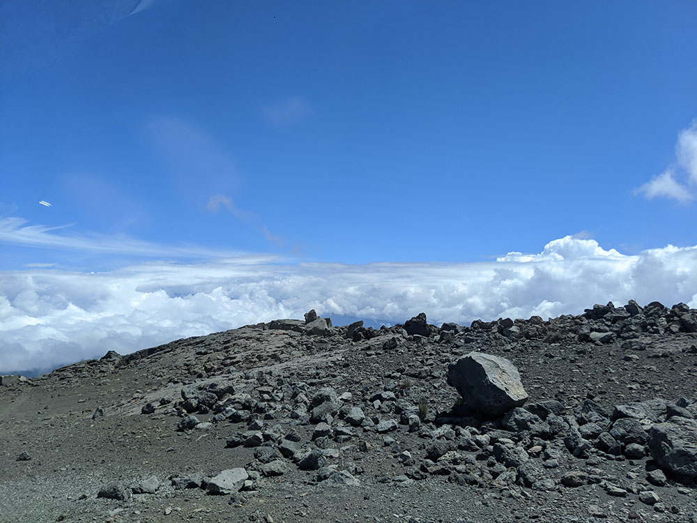
- Summit: above the tree line, mostly lava rock and alpine tundra with heavy snowfall.
- Māmane–naio forest (6,600–9,800 feet): habitat of the critically endangered palila, now confined to Mauna Kea’s slopes.
- Koa–ʻōhiʻa forest: at the base, largely cleared by the sugar industry.
- Hakalau Forest National Wildlife Refuge: established in 1985, covering 32,733 acres of koa forest on the windward slope, with eight endangered bird species and the endangered Hawaiian hoary bat.
More Facts
- Mauna Kea is about one million years old and last erupted 4,000 to 6,000 years ago.
- Missionary Joseph F. Goodrich made the first recorded single-day ascent on August 26, 1823.
- The Hāmākua Coast on its flank includes Kalōpā State Recreation Area, Wailuku River State Park and ʻAkaka Falls State Park.
This article uses material from the Wikipedia article "Mauna Kea", which is released under the Creative Commons Attribution-Share-Alike License 3.0