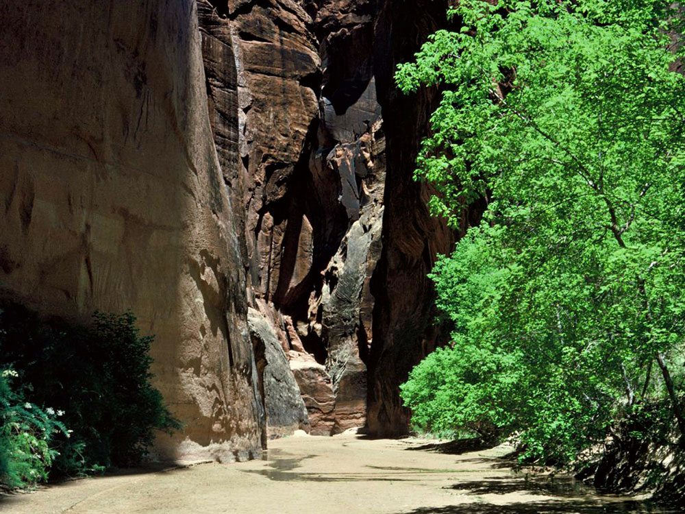
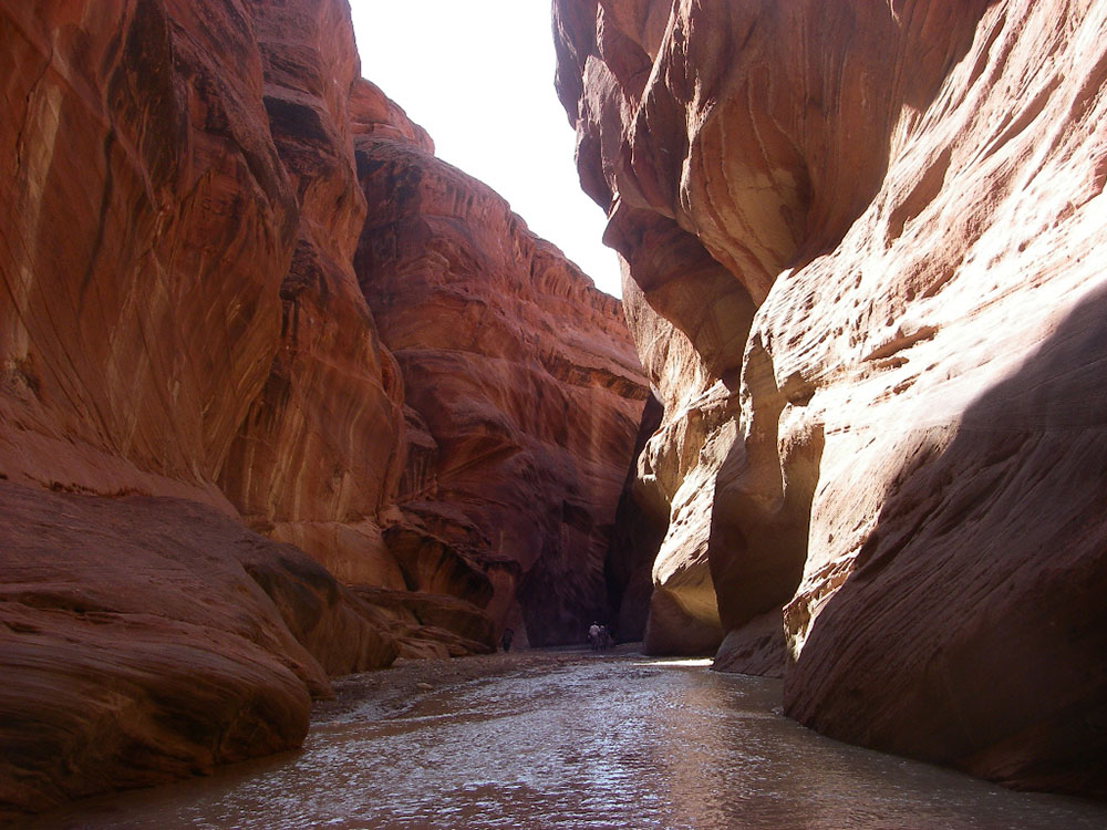
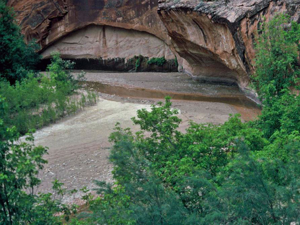
Tributary of the Colorado River, approximately 95 miles (153 km) long, flowing through roadless slot canyons along part of its course and is one of the most popular destinations for canyoneering in the region.
General Information
Length:
(to the Paria confluence) 13.5 miles from Wire Pass, 16.5 miles from Buckskin, 6.8 miles from Middle
Elevation Gain:
520 feet
Hours:
24/7
Fees:
A fee is required for all visits. Day use is $6 per person, camping an additional $5 per person
Pet Policy:
Pets allowed
Seasons:
Late spring to fall, though not for several days after recent rains
Closest cities with hotels:
Page, AZ, 43 miles
Trailhead:
(Wire Pass) 8.5 miles down House Rock Valley Road
Location:
Website:
How to Get There
Overview
Paria Canyon is the canyon of the Paria River, a 95-mile tributary of the Colorado River that starts on the edge of the Paunsaugunt Plateau near Bryce Canyon and flows through southern Utah and northern Arizona to Lees Ferry. It is one of the best canyoneering trips in the Southwest, a multi-day backpack of about 38 miles through the Paria Canyon-Vermilion Cliffs Wilderness, with big walls, alcoves, and springs. Buckskin Gulch joins from the side, and a permit is required.
This article uses material from the Wikipedia article "Paria River", which is released under the Creative Commons Attribution-Share-Alike License 3.0