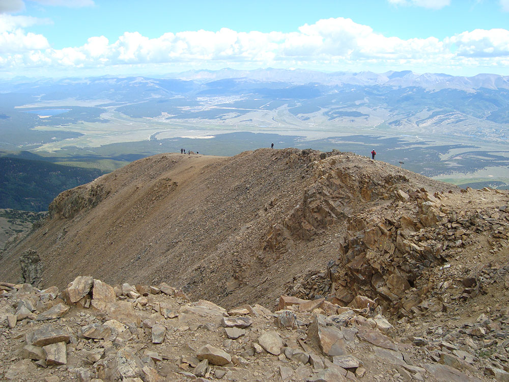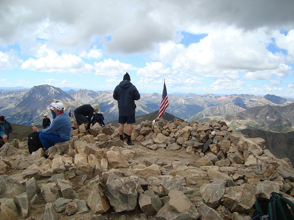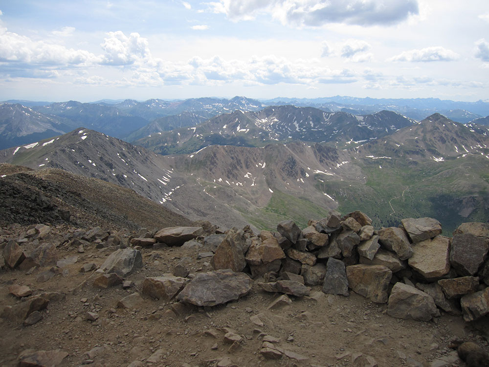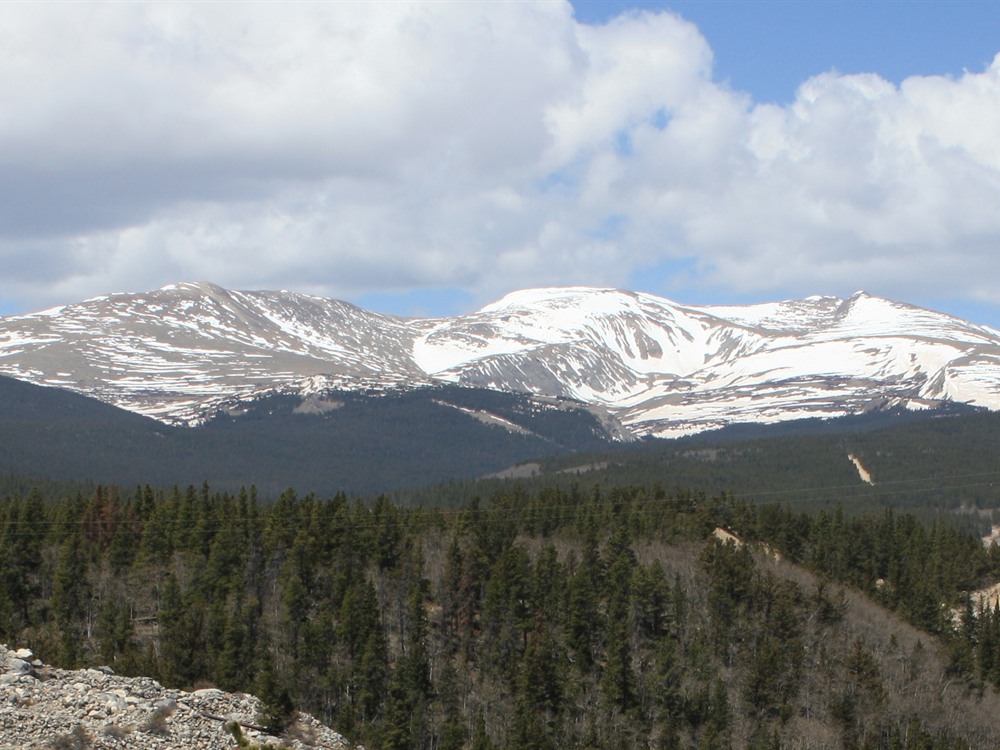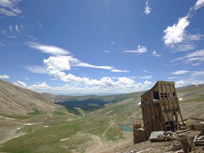

High-elevation alpine summit accessible by a relatively short but steep hike, offering sweeping views, rocky terrain, and exposure to classic Colorado 14er conditions.
General Information
Elevation Gain: ~2,100 feet
Difficulty: Moderate
Best to begin early in the morning due to changing weather
Fairplay (25 mi)
Buena Vista (40 mi)
How to Get There
From Leadville (20 mi): Take US-24 south to County Road 18 near Alma, then follow the road toward Fourmile Creek and continue to the trailhead parking areas.
Overview
Mount Sherman (14,043 feet) in the Mosquito Range, about 6.8 miles east of Leadville, is one of the easiest fourteeners, with a class 2 route, starting at a high trailhead on old mining roads past the ruins of the Hilltop Mine. It is popular with beginners and in winter.
Top Trail
| Trail | Length | Elevation Gain | Highlights |
|---|---|---|---|
| Fourmile Creek route | About 5 miles round trip | About 2,100 feet | Old mining ruins and a rocky ridge with views of Leadville |
This article uses material from the Wikipedia article "Mount Sherman", which is released under the Creative Commons Attribution-Share-Alike License 3.0
Featured Trail
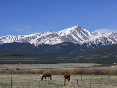
Jeff P from Berkeley, CA, USA, CC BY 2.0, via Wikimedia Commons; Image Size Adjusted
.jpg)
North Mount Elbert Trail
10.4 miles roundtrip, 4,468 feet elevation gain