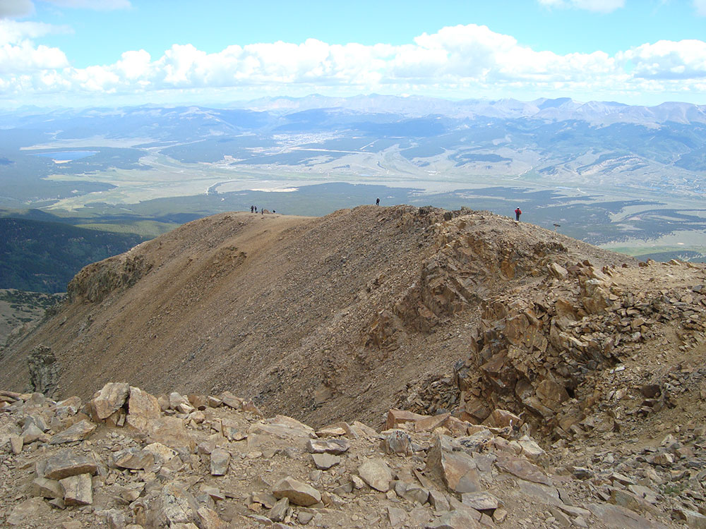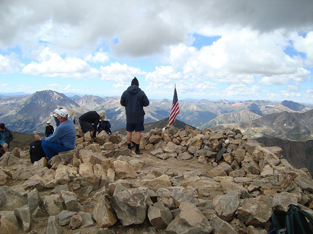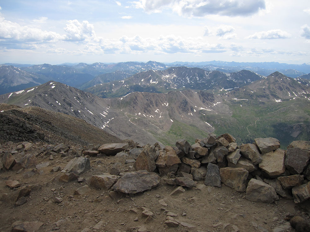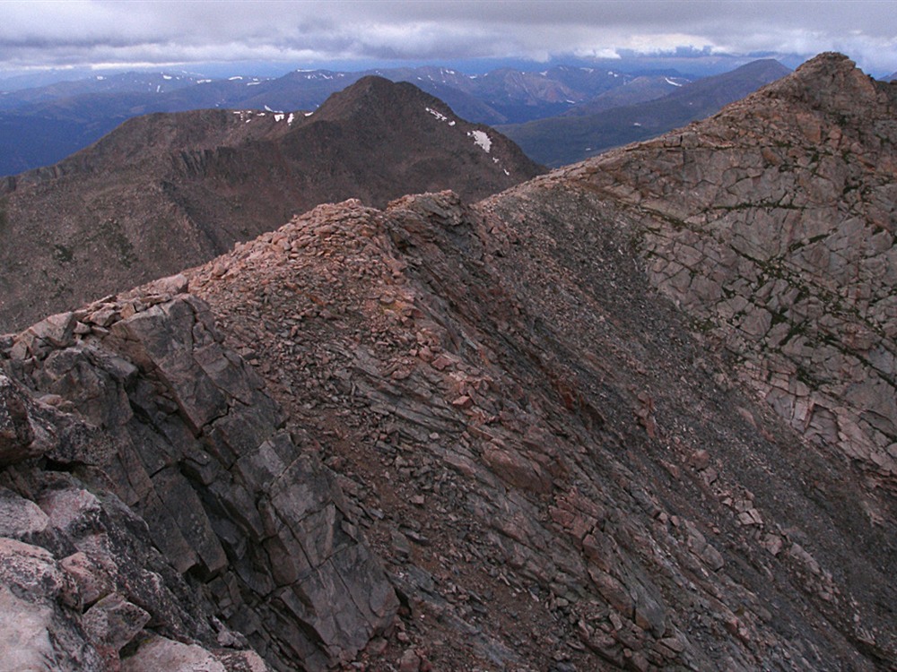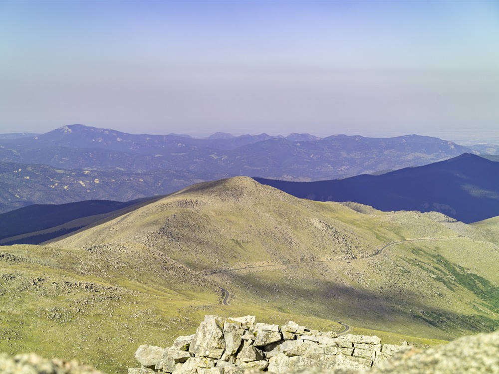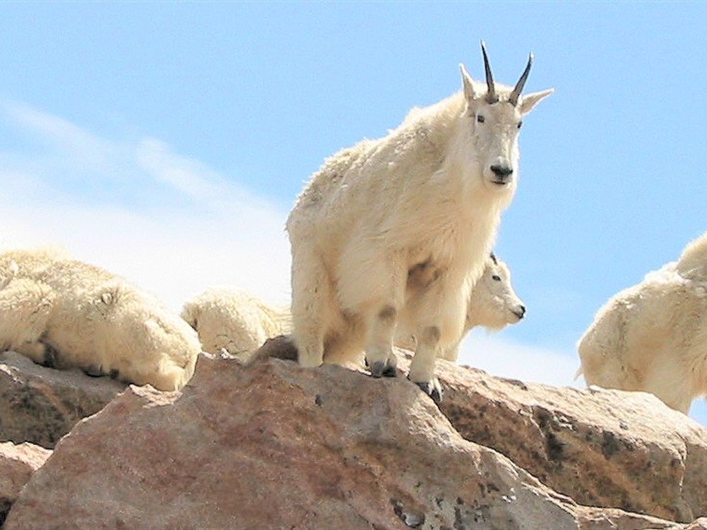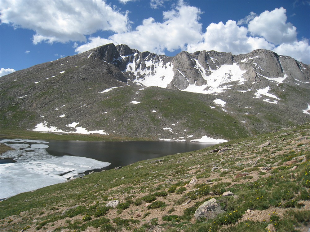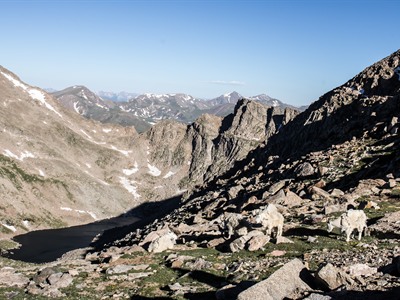

High-alpine summit accessible by the highest paved road in North America, featuring panoramic mountain views, alpine tundra, and opportunities for wildlife viewing.
General Information
Welcome station hours: 8:00am – 6:00pm
Road access available 24 hours with reservation once inside
Timed-entry reservation required (approx. $2 reservation fee)
Evergreen (25 mi)
Denver (60 mi)
How to Get There
From Idaho Springs (14 mi): Take CO-103 south from Exit 240 off I-70, continue to Echo Lake, then turn onto CO-5 and follow the road to the summit parking area.
Overview
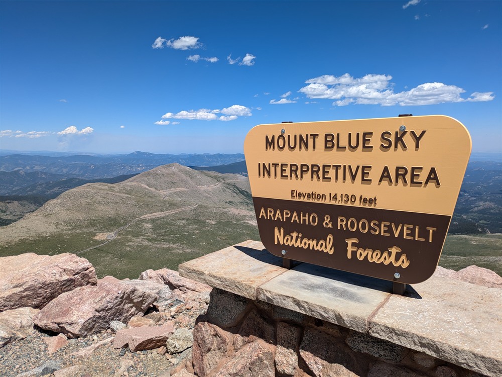
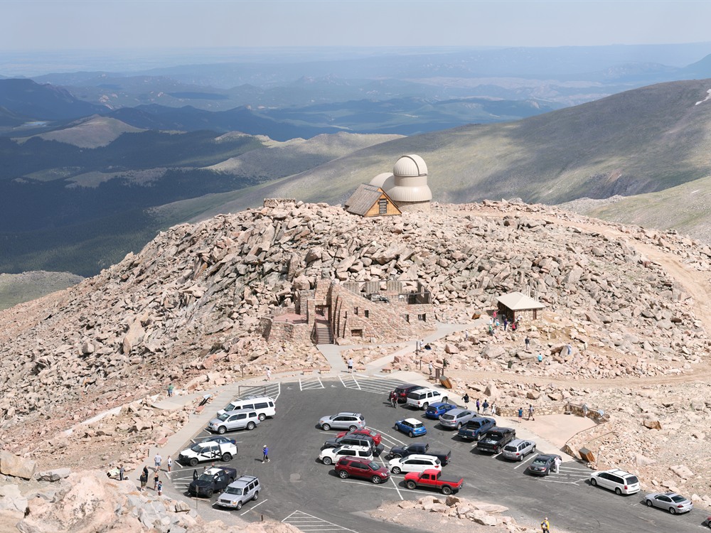
Mount Blue Sky (formerly Mount Evans; 14,271 feet) is the highest peak in the Mount Evans Wilderness in the Front Range, and it has the highest paved road in North America, the Mount Blue Sky Scenic Byway, to a parking lot at 14,130 feet, so you can nearly drive to the top. The road is open in summer, with a timed-entry reservation, and passes Summit Lake Park. It was renamed in 2023.
Top Trail
| Trail | Length | Elevation Gain | Highlights |
|---|---|---|---|
| From the summit lot | About 0.25 mile | About 130 feet | A short scramble to the top for those who drove |
This article uses material from the Wikipedia article "Mount Blue Sky", which is released under the Creative Commons Attribution-Share-Alike License 3.0
Featured Trail
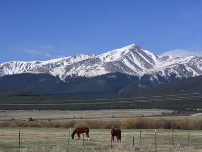
Jeff P from Berkeley, CA, USA, CC BY 2.0, via Wikimedia Commons; Image Size Adjusted
.jpg)
North Mount Elbert Trail
10.4 miles roundtrip, 4,468 feet elevation gain