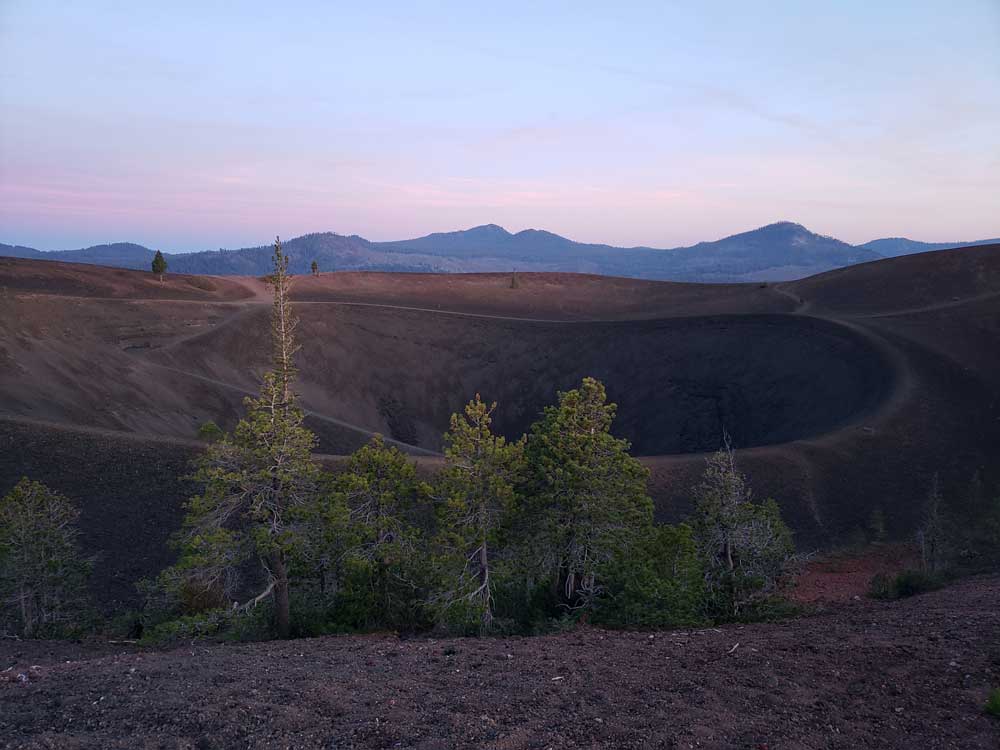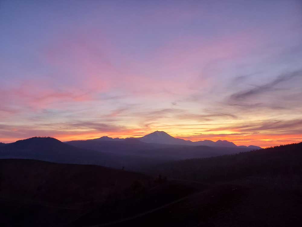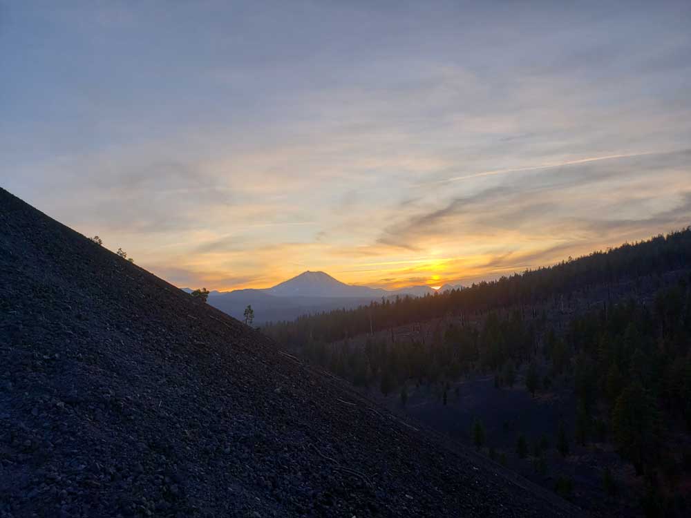
Cinder cone volcano in Lassen Volcanic National Park, 10 miles (16 km) northeast of Lassen Peak and provides an excellent view of Brokeoff Mountain, Lassen Peak, and Chaos Crags
How to Get There
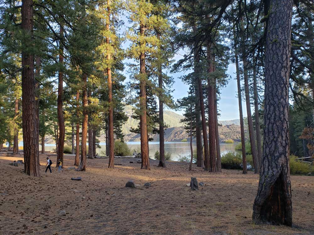
Cinder Cone Trailhead is located near the boat ramp in the Butte Lake Day Use Area in the northeast corner of the park. This remote area is accessed via a 6-mile dirt road off of Highway 44, approximately 24 miles east of the park's Northwest Entrance. View directions to Butte Lake. Drinking water is available when the Butte Lake Campground is open. There are no other services in this area.
Overview
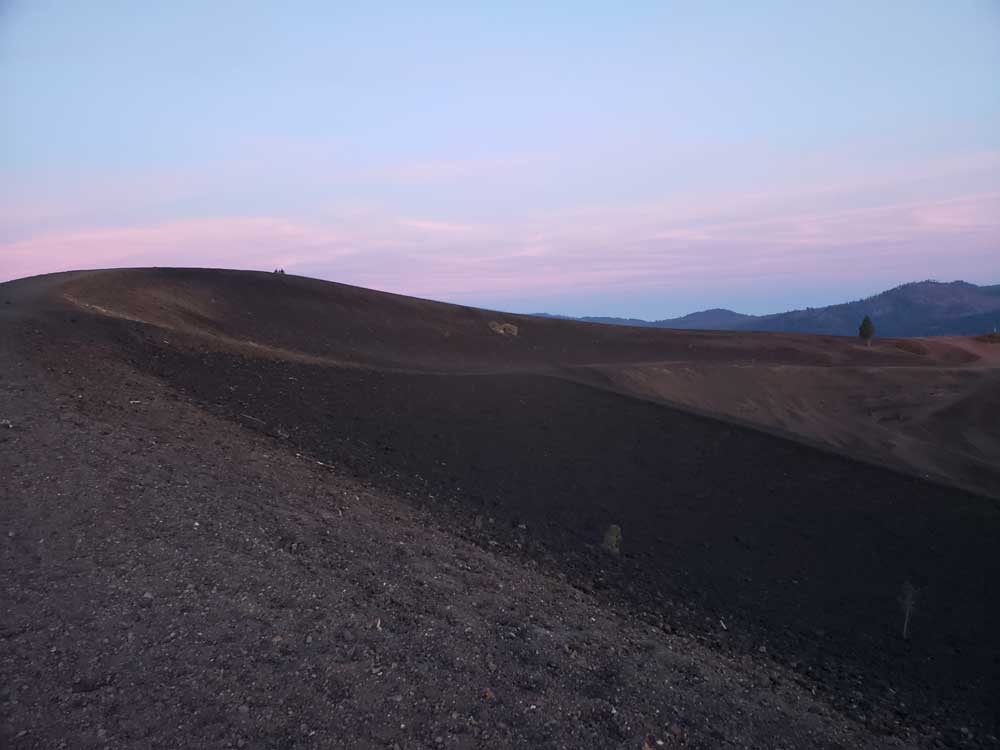
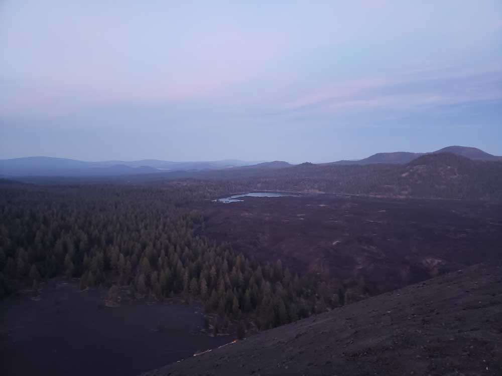
Cinder Cone is a 750-foot volcanic cone in the Butte Lake area of Lassen Volcanic National Park, reached by a hike of about 4 miles round trip from the Butte Lake trailhead (a 6-mile dirt road off Highway 44 in the park’s remote northeast corner). The hike over loose cinders climbs about 800 feet to the summit, with views of the Painted Dunes, the Fantastic Lava Beds, Lassen Peak, Prospect Peak and Snag Lake, and a trail also drops into the crater. It is challenging in soft cinders, with little shade, and drinking water is available only when Butte Lake Campground is open.
Geology
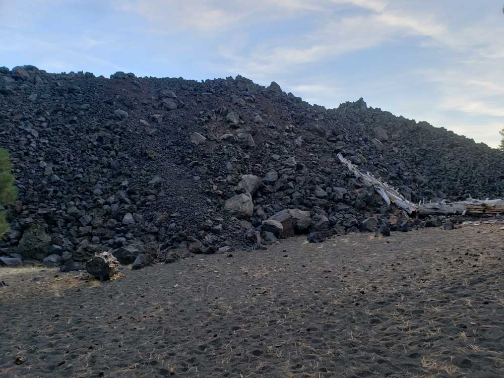
The cone spread ash over 30 square miles before basalt lava flows, the Fantastic Lava Beds, dammed creeks to form Snag Lake and Butte Lake. Stay on the trail to protect the fragile landscape.
This article uses material from the Wikipedia article "Cinder Cone and the Fantastic Lava Beds", which is released under the Creative Commons Attribution-Share-Alike License 3.0; additional material from nps.gov "Lassen Volcanic National Park"