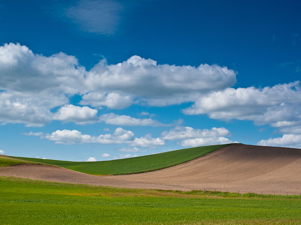
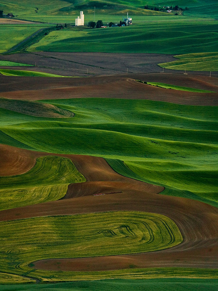
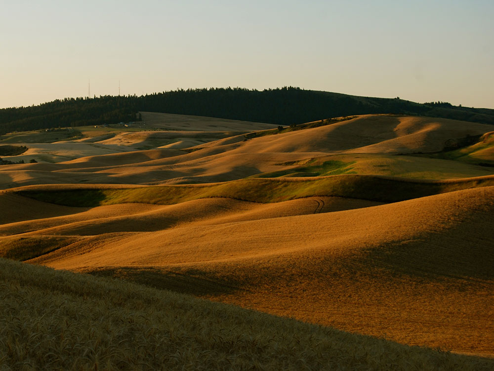
Distinct geographic region of the northwestern US defined as the fertile hills and prairies north of the Snake River featuring peculiar and picturesque loess hills
General Information
How to Get There
Overview
The Palouse is a region of rolling wheat and lentil hills in southeastern Washington and north-central Idaho, home to Pullman (Washington State University) and Moscow (University of Idaho), and defined by the deep, windblown loess soil of the hills.
Highlights
- Steptoe Butte and Kamiak Butte: the two quartzite "islands" with views over the hills
- Palouse Falls: a 200-foot waterfall
- Best time: late spring and early summer for green hills, and harvest in late summer
Sports
- The Washington State Cougars (Pullman) and the Idaho Vandals (Moscow)
Things to Do
Experience the Charm of a Historic Palouse Community
Palouse is a small town in southeastern Washington located within the scenic Palouse region, an area famous for its rolling hills, agricultural landscapes, and rural beauty. The town offers visitors a relaxing atmosphere, historic architecture, outdoor recreation opportunities, and access to some of the most photographed landscapes in the Pacific Northwest.
Explore Downtown Palouse
Historic downtown Palouse features a collection of preserved nineteenth-century buildings, local businesses, antique shops, restaurants, and community gathering spaces. Visitors can stroll through town and experience the character of one of eastern Washington's traditional farming communities.
Visit Palouse Falls State Park
Located about an hour from town, Palouse Falls is one of Washington's most iconic natural attractions. The dramatic waterfall plunges nearly 200 feet into a rugged canyon and serves as the official state waterfall of Washington. The overlook provides exceptional opportunities for photography and sightseeing.
Drive Through the Scenic Palouse Region
The surrounding countryside is renowned for its rolling wheat fields, colorful farmland, and scenic backroads. During spring and summer, the landscape transforms into waves of green and gold hills that attract photographers and road-trippers from around the world.
Enjoy Outdoor Recreation Along the Palouse River
The Palouse River flows through town and provides opportunities for fishing, birdwatching, photography, and peaceful riverside walks. The surrounding area offers additional opportunities for hiking, cycling, wildlife viewing, and exploring the region's natural beauty.
Visit Nearby Moscow and Pullman
Palouse is conveniently located near the college towns of Pullman, Washington, and Moscow, Idaho. Visitors can enjoy museums, arts and cultural events, restaurants, wineries, breweries, and additional recreational opportunities throughout the region.
Top Trails
Kamiak Butte Trail System
Length: Various routes from 1 to 5 miles
Elevation Gain: Moderate
Difficulty: Easy to Moderate
Located a short drive from Palouse, Kamiak Butte offers several hiking trails through one of the region's largest native forest preserves. Visitors enjoy panoramic views of the Palouse Hills, wildflowers, wildlife, and scenic overlooks.
Palouse River Trail
Length: Approximately 2 miles round trip
Elevation Gain: Minimal
Difficulty: Easy
This easy riverside walk follows sections of the Palouse River and provides opportunities for birdwatching, photography, and enjoying the peaceful natural setting near town.
Steptoe Butte Trail and Overlooks
Length: Various short walking routes
Elevation Gain: Minimal
Difficulty: Easy
Located within Steptoe Butte State Park Heritage Site, these short walks provide access to some of the most famous viewpoints in the Palouse region. Visitors can enjoy sweeping views of the rolling farmland that make the area world-renowned for landscape photography.
Palouse to Cascades State Park Trail
Length: Various distances
Elevation Gain: Minimal
Difficulty: Easy
Segments of this long-distance rail-trail corridor pass through eastern Washington and provide opportunities for walking, cycling, and exploring the agricultural landscapes of the Palouse region.
Geology
The peculiar and picturesque loess hills which characterize the Palouse Prairie are underlain by wind-blown sediments of the Palouse Loess that covers the surface of over 50,000 km2 (19,000 sq mi) on the Columbia Plateau in southeastern Washington, western Idaho, and northeastern Oregon. The Palouse Loess forms a fine-grained mantle of variable thickness that lies upon either the Miocene Columbia River Basalt Group, non-glacial Pliocene fluvial sediments of the Ringold Formation, or Pleistocene glacial outburst flood sediments that are known informally as the Hanford formation. At its thickest, the Palouse Loess is up to 75 meters (246 ft) thick. It consists of multiple layers of loess separated by multiple well-defined calcrete paleosols and erosional unconformities. The degree of development of individual layers of calcrete together with thermoluminescence and optically stimulated luminescence dating of the loess indicate that each calcrete layer represents a period of thousands to tens of thousands of years of nondeposition, weathering, and soil development that occurred between episodic periods of loess deposition. A consistent sequence of normal-reverse-normal polarity signatures demonstrates that the older layers of loess accumulated between 2 and 1 million years ago. Detailed optically stimulated luminescence dating has shown that the uppermost layer of Palouse Loess accumulated between 15,000 years ago and modern times and the layer of loess underlying it accumulated episodically between about 77,000 and 16,000 years ago. Regional trends in the distribution, thickness, texture, and overall composition of the Palouse Loess indicate that it largely consists of the wind-blown sediments eroded from fine-grained deposits of the Hanford formation that were periodically deposited by repeated Missoula Floods within the Eureka Flats area.
Although superficially resembling sand or other types of dunes, the loess hills of the Palouse are of far different origin. Internally, they lack any evidence of cross-bedding or erosion of interbedded layers of loess and calcrete that characterize dunes formed by moving currents. Instead, these hills consist of alternating layers of loess and calcrete that are more or less concordant with the modern surface of these hills. This layering demonstrates that the Palouse hills loess accumulated from the airfall of wind-silt from suspension. In addition, the ubiquitous homogenization of the loess by innumerable plant roots and insect burrows as it accumulated further supports the conclusion drawn from numerous thermoluminescence and optically stimulated luminescence dates that individual layers of loess accumulated over an extended period of time in terms of thousands of years. Finally, the calcrete horizons are paleosols that represent the periodic cessation of loess accumulation for periods of thousands of years during which they formed within the surface of a loess layer.
This article uses material from the Wikipedia article and official pages for visitpalouse.com, parks.wa.gov, whitmancounty.org, Palouse, released under the Creative Commons Attribution-Share-Alike License 3.0.