-400.jpg)
.jpg)
310-mile long hiking trail that follows the rocky ridges overlooking Lake Superior with views of boreal forests, the Sawtooth Mountains, babbling brooks, rushing waterfalls, and abundant wildlife
General Information
How to Get There
From Duluth, MN: The trail's Duluth section starts at the Minnesota-Wisconsin border southwest of the city; access the North Shore section from trailheads along MN-61 E (North Shore Scenic Drive) at Gooseberry Falls, Split Rock, Tettegouche, and other state parks northeast of Duluth.
Overview
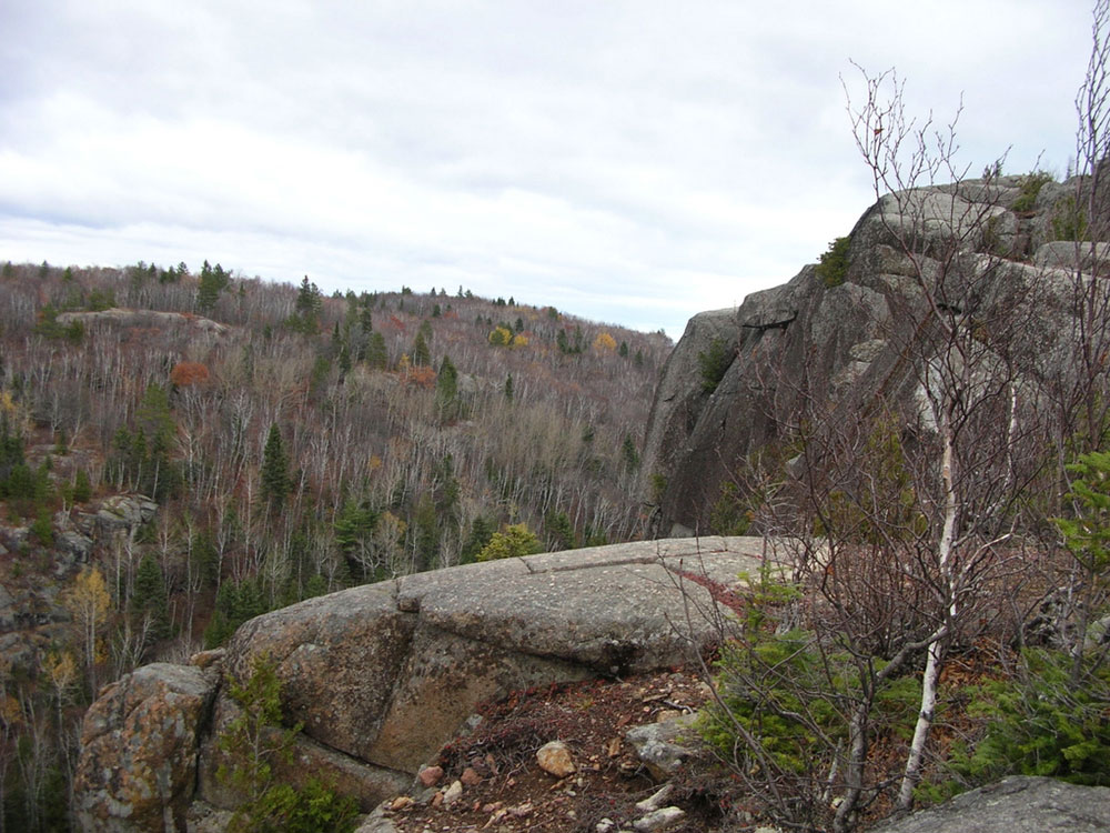
The Superior Hiking Trail, also known as the SHT, is a 310-mile (500 km) long hiking trail in northeastern Minnesota that follows the rocky ridges overlooking Lake Superior for most of its length. The trail travels through forests of birch, aspen, pine, fir, and cedar. Hikers enjoy views of boreal forests, the Sawtooth Mountains, babbling brooks, rushing waterfalls, and abundant wildlife. The lowest point in the path is 602 ft (183 m) above sea level and the highest point is 1,829 ft (557 m) above sea level.
History
Construction of the Superior Hiking Trail began in the mid-1980s, and the trail now extends 310 miles (500 km) from the Minnesota-Wisconsin border southwest of Duluth to the Canada-US border. In addition there are 17 miles (27 km) of spur trails that connect trailheads to the main trail. Inspiration for building the trail came from the Appalachian Trail, which extends from Georgia to Maine. In 1987, the trail had an opening ceremony at Britton Peak to celebrate the beginning of construction.
The Duluth section of the trail comprises 50 miles (80 km) and starts southwest of the city of Duluth at the Minnesota-Wisconsin border. The trail extends to the northeast through Jay Cooke State Park, the Spirit Mountain Recreation Area, Brewer Park, Enger Park, the Historic Downtown Area, Canal Park, the Lakewalk, and Hartley Nature Center, before it ends at a trailhead located on Martin Road on the north side of the city. The Duluth section is particularly suited for day hiking. There is only one backcountry campground, located near the Minnesota-Wisconsin border, along the Duluth section.
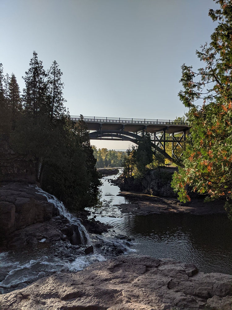
The North Shore section of the trail is 260 miles (420 km) long and begins at the Martin Road Trailhead on the northern boundary of the City of Duluth. From there, the trail extends to the northeast along Lake Superior through seven state parks, including Gooseberry Falls State Park, Split Rock Lighthouse State Park and Tettegouche State Park. This section of the SHT passes near the towns of Lutsen and Grand Marais, and ends just before the Canada-United States border. The North Shore section provides backcountry experiences and is utilized by both day hikers and backpackers. The Superior Hiking Trail Association maintains 93 backcountry campgrounds along the North Shore section, and a traditional thru-hike of the Superior Hiking Trail typically spans this 260 miles (420 km) section. The total elevation gain along the North Shore section is 37,800 feet (11,500 m) and the elevation loss is 37,400 feet (11,400 m) for a northbound hiker.
On the northern end the Superior Hiking Trail is connected to the 65-mile (105 km) long Border Route Trail which starts a short distance from the trail head on Otter Lake Road. This then connects to the 41-mile (66 km) long Kekekabic Trail which gives the hiker the ability to hike all the way through the Boundary Waters Canoe Area Wilderness and end near Ely.
This article uses material from the Wikipedia article "Superior Hiking Trail", which is released under the Creative Commons Attribution-Share-Alike License 3.0