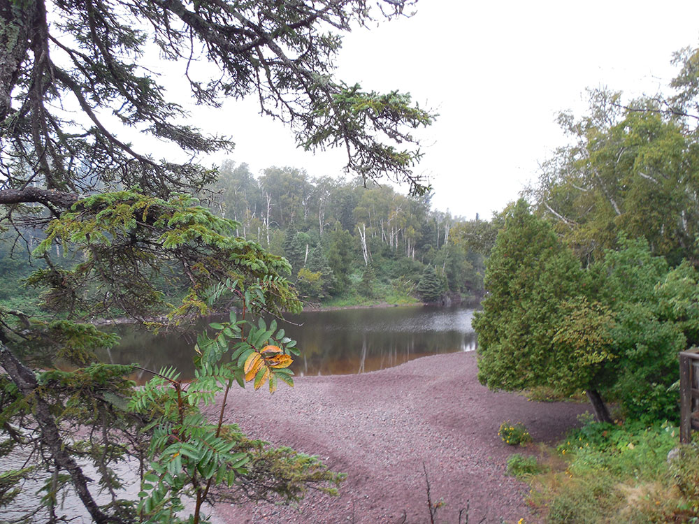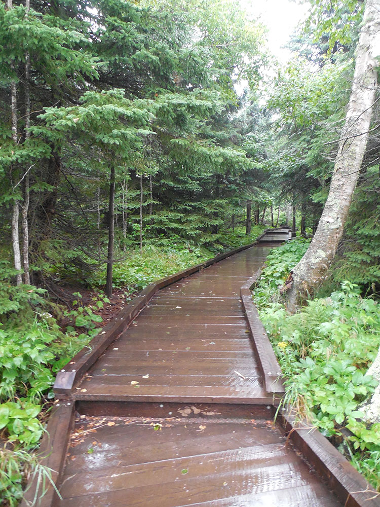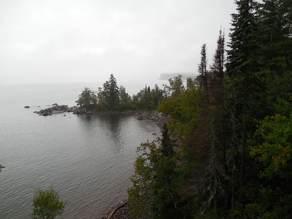

Park containing six inland lakes, four waterfalls, and a beach on Lake Superior
General Information
How to Get There
From Duluth, MN (58 mi): Take MN-61 E (North Shore Scenic Drive) northeast from Duluth approximately 58 miles to the Tettegouche State Park entrance on the right at 5702 Highway 61.
Overview
Tettegouche State Park is a Minnesota state park on the north shore of Lake Superior 58 miles (93 km) northeast of Duluth in Lake County on Minnesota Highway 61. The park's name stems from the Tettegouche Club, an association of local businessmen which purchased the park in 1910 from the Alger-Smith Lumber Company. The club's members protected the area until its sale in 1971 to the deLaittres family. In 1979, the state of Minnesota acquired 3,400 acres (1,400 ha) from the Nature Conservancy, including Tettegouche Camp. The land was added to Baptism River State Park, which was renamed Tettegouche State Park.
Features
The park is 9,346 acres (3,782 ha), and contains six inland lakes (four of which support northern pike and one supports walleye fishing), four waterfalls, and a beach on Lake Superior. The 70-foot-tall (21 m) waterfall High Falls located on the Baptism River is the highest waterfall located entirely within Minnesota. The park contains 22 miles (35 km) of hiking trails, 12 miles (19 km) of ski trails, and access to the Superior Hiking Trail. Tettegouche is bordered to the north by the Finland State Forest and shares the Red Dot motorized trail with it. The trail is for use by all-terrain vehicles and snowmobiles and is the only ATV trail in a state park.
The park is one of only four state parks in Minnesota offering rock climbing. Both Shovel Point and Palisade Head cliffs are popular spots offering climbing directly over Lake Superior.
Things to Do
Explore Minnesota's Premier North Shore Wilderness Park
Tettegouche State Park is one of Minnesota's most spectacular state parks, located along the rugged North Shore of Lake Superior near Silver Bay. The park encompasses more than 9,000 acres of cliffs, waterfalls, inland lakes, forests, rivers, and shoreline landscapes. Known for its dramatic scenery and exceptional hiking opportunities, Tettegouche is a favorite destination for outdoor enthusiasts visiting northeastern Minnesota.
Visit Shovel Point
Shovel Point is one of the most iconic locations on Minnesota's North Shore. The rocky peninsula extends into Lake Superior and offers breathtaking views of cliffs, waves, sea caves, and the expansive lake horizon. It is among the most photographed and visited destinations within the park.
See High Falls and the Baptism River
The Baptism River flows through the heart of the park and features several impressive waterfalls. High Falls, at approximately 70 feet, is the tallest waterfall entirely within Minnesota. Scenic overlooks and trails provide visitors with excellent views of the river gorge and cascading water.
Explore Inland Lakes and Forests
Tettegouche contains several beautiful inland lakes, including Mic Mac Lake, Nipisiquit Lake, and Bean Lake. These quiet wilderness areas offer opportunities for hiking, paddling, fishing, wildlife viewing, and enjoying the solitude of Minnesota's North Woods.
Enjoy Year-Round Outdoor Recreation
The park offers hiking, backpacking, rock climbing, camping, kayaking, fishing, birdwatching, snowshoeing, cross-country skiing, and photography. Its diverse landscapes and extensive trail network make it one of the most popular outdoor destinations in the Midwest throughout all seasons.
Top Trails
Shovel Point Trail
Length: Approximately 1.2 miles round trip
Elevation Gain: Moderate
Difficulty: Moderate
This signature hike follows rocky ridges and cliff-top pathways overlooking Lake Superior. Visitors enjoy panoramic lake views, dramatic shoreline scenery, and some of the most spectacular overlooks on the North Shore.
High Falls Trail
Length: Approximately 3 miles round trip
Elevation Gain: Moderate
Difficulty: Moderate
Following the Baptism River upstream, this trail leads to High Falls. Along the way, hikers experience river rapids, forest scenery, scenic footbridges, and excellent waterfall viewpoints.
Bean and Bear Lake Loop Trail
Length: Approximately 6.5 miles loop
Elevation Gain: Moderate to Strenuous
Difficulty: Moderate
One of the most popular hikes on the North Shore, this trail passes two beautiful inland lakes and includes a dramatic overlook above Bear Lake. The scenic vista is considered one of the finest viewpoints in Minnesota.
Superior Hiking Trail
Length: Variable distances available
Elevation Gain: Moderate to Strenuous
Difficulty: Moderate to Strenuous
Several segments of the Superior Hiking Trail pass through Tettegouche State Park, offering access to remote forests, river valleys, waterfalls, ridgelines, and breathtaking Lake Superior views. These routes are popular among both day hikers and backpackers.
Sources: Minnesota Department of Natural Resources official Tettegouche State Park information, including details on Shovel Point, High Falls, the Baptism River, hiking trails, camping, climbing, wildlife viewing, and recreational opportunities. https://www.dnr.state.mn.us/state_parks/park.html?id=spk00269
Additional information verified through Minnesota DNR visitor resources and Superior Hiking Trail Association information covering the Bean and Bear Lake Loop, Shovel Point Trail, High Falls, inland lakes, and North Shore outdoor recreation opportunities.
Common wildlife seen at this park includes the white-tail deer, hawk, woodpecker, red squirrel, snowshoe hare, weasel, and beaver. Other wildlife that often roam in this park are Canadian lynx, moose, black bear, river otter, and red fox. On occasion, the timber wolf, coyote, fisher, marten and northern flying squirrel can be seen by visitors. The park also has peregrine falcons that nest in the cliffs along Lake Superior.
The park contains several camping areas, with drive-in, cart-in, walk-in and kayak-in sites. The Tettegouche Camp, on Mic Mac Lake, is listed on the National Register of Historic Places, and features four hike-to cabins.
This article uses material from the Wikipedia article "Blue Mounds State Park", which is released under the Creative Commons Attribution-Share-Alike License 3.0