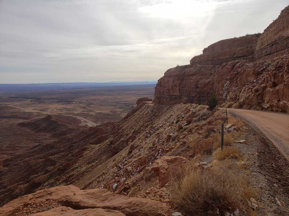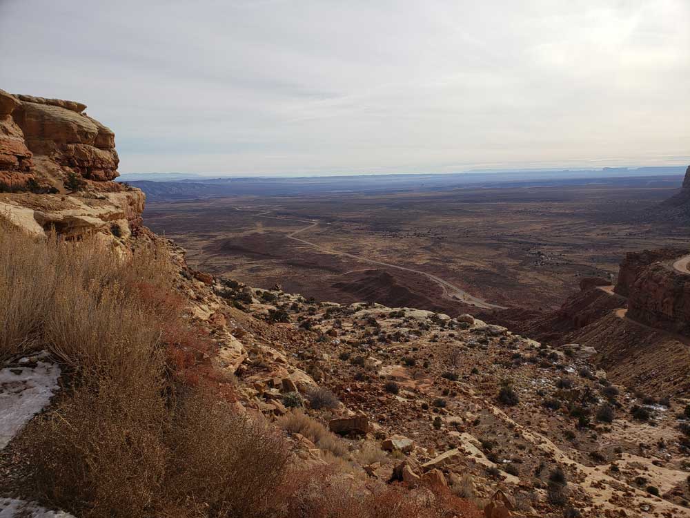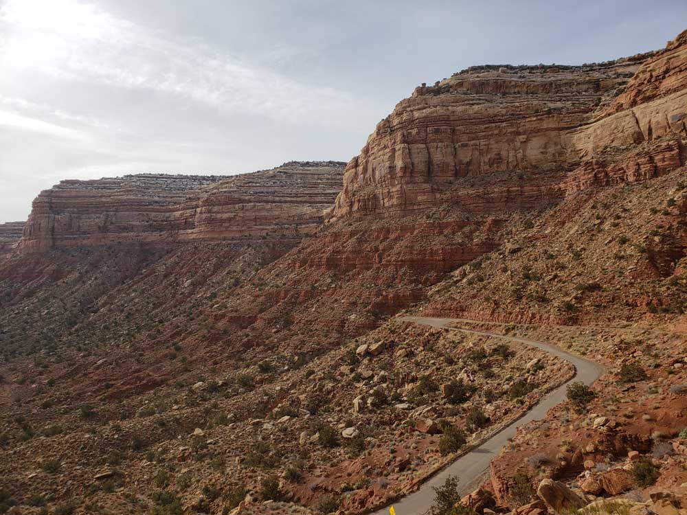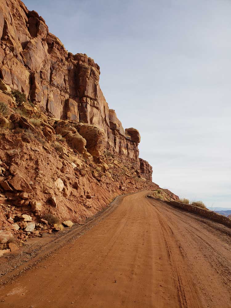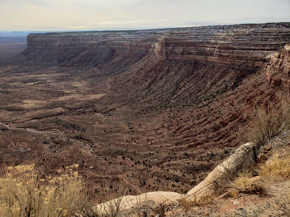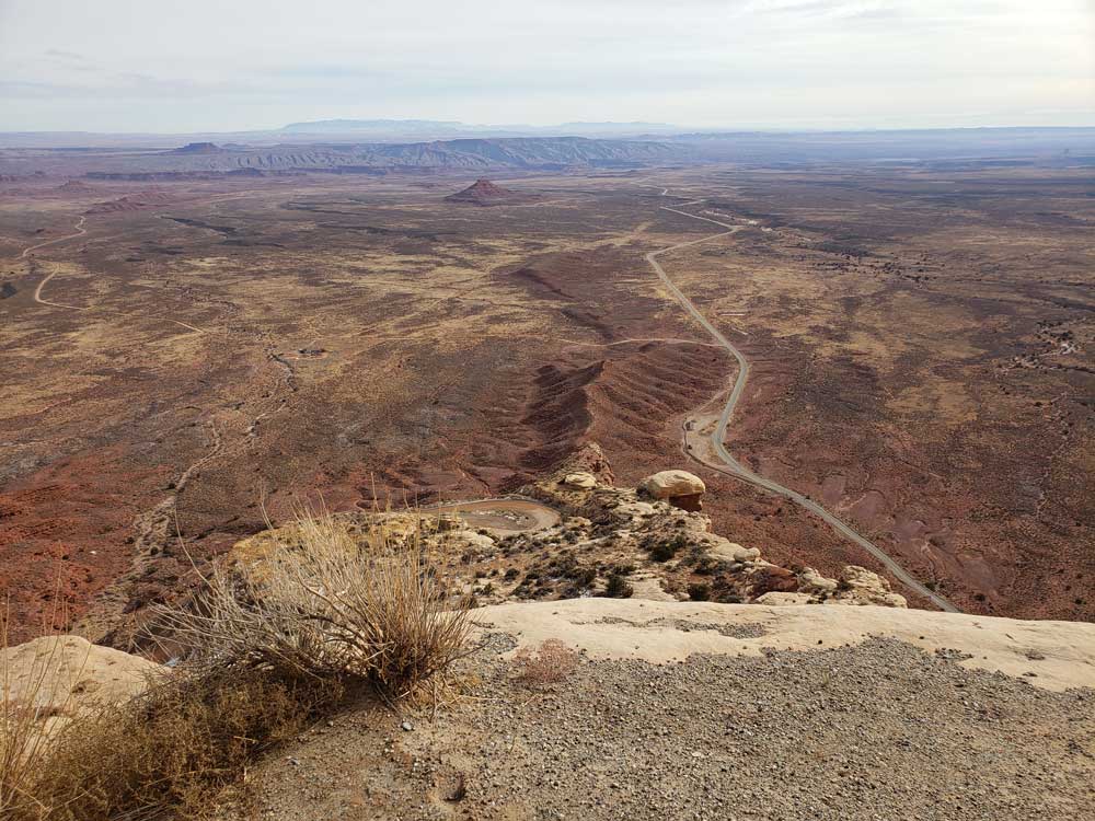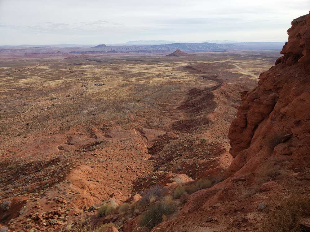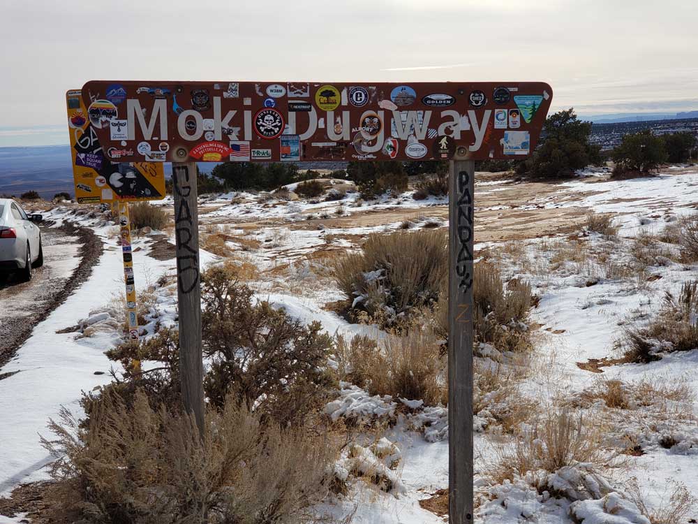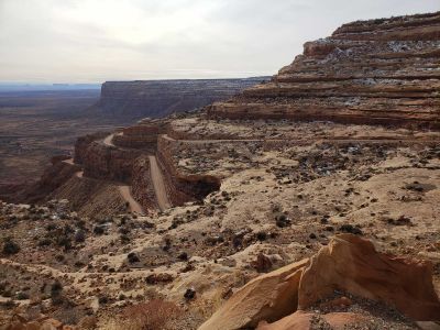
National Scenic Byway that traverses up a canyon wall in a remote section of Southeast Utah. Includes narrow raod with steep switchbacks and spectaular views
Overview
The Moki Dugway is a graded gravel switchback section of Utah State Route 261, climbing about 1,200 feet in three miles up the face of Cedar Mesa, with sweeping views of Valley of the Gods and Monument Valley. It was built in 1958 by Texas Zinc to haul uranium ore from the Happy Jack mine to the mill at Halchita. It has steep drop-offs with no guardrails, and it is not for trailers or anyone afraid of heights. Muley Point, on the mesa top nearby, has a great view.
Route description
From its southern terminus north of Mexican Hat, SR-261 commences in a westerly direction. After turning north, the route encounters the Moki Dugway, becoming an unpaved road for its ascent up onto Cedar Mesa, only to return to being paved for the rest of the route to its terminus at SR-95 just east of Natural Bridges National Monument.
History
The Moki Dugway was constructed in 1958 by Texas Zinc, a mining company, to transport uranium ore from the "Happy Jack" mine in Fry Canyon to the processing mill in Mexican Hat. The State Road Commission added SR-261 to the state highway system in 1957, following its present alignment from SR-47 (now US-163) north of Mexican Hat to SR-95.
This article uses material from the Wikipedia article "Utah State Route 261", which is released under the Creative Commons Attribution-Share-Alike License 3.0