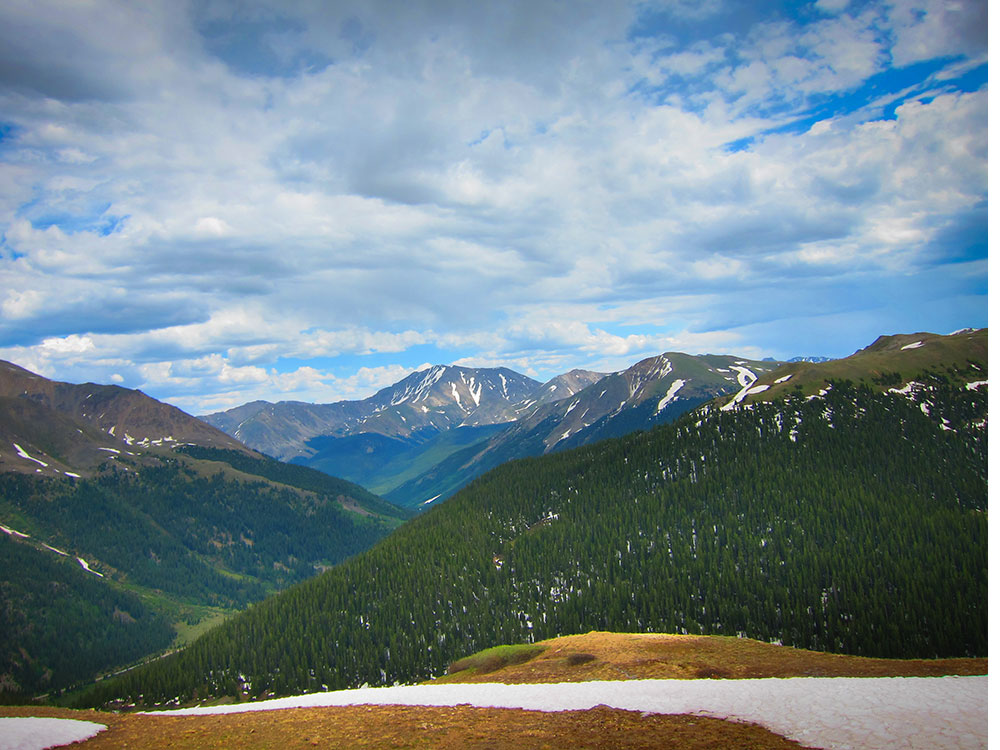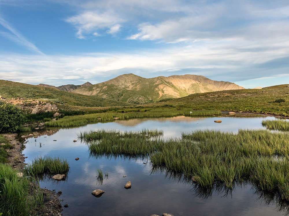

High mountain pass at elevation 12,095 ft on the Continental Divide in the Sawatch Range of the Rocky Mountains
General Information
Accessible 24 hours daily while open; closed in winter due to snow and avalanche danger
Leadville (18 mi)
Twin Lakes (15 mi)
How to Get There
From Aspen (20 mi): Take CO-82 east from Aspen and follow the winding scenic highway directly up to the summit of the pass along the Continental Divide.
Overview
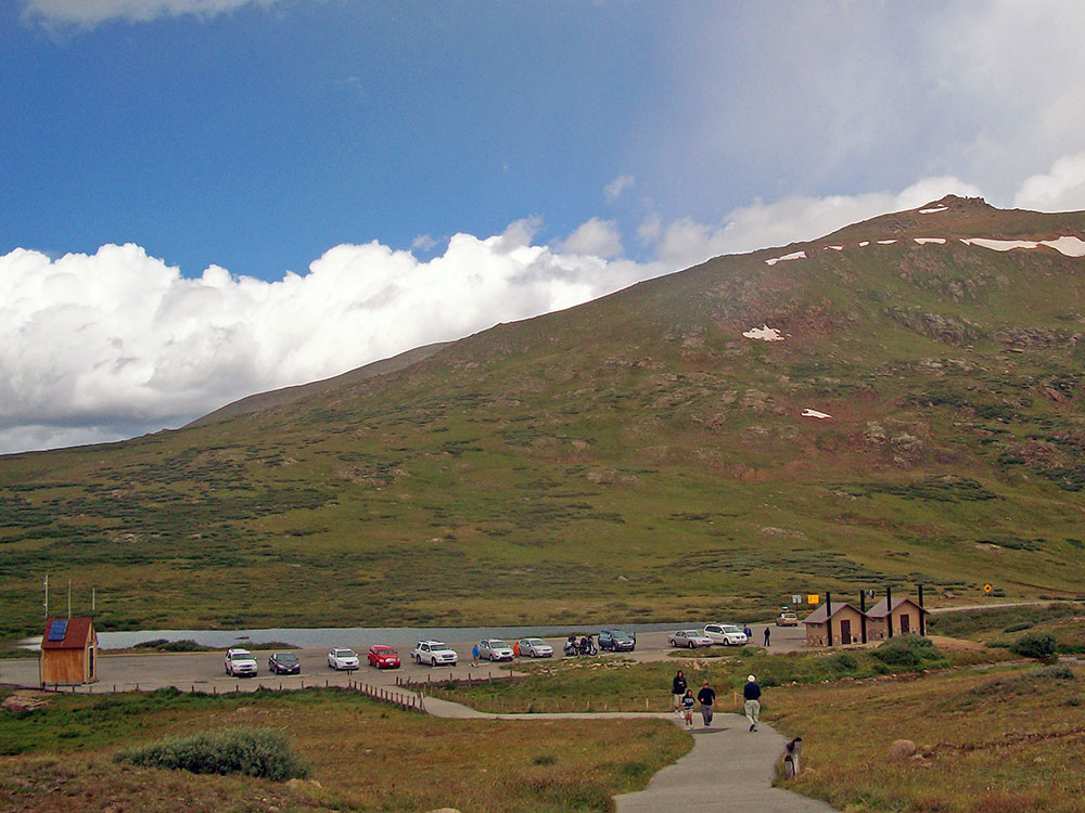
Independence Pass (12,095 feet) on the Continental Divide in the Sawatch Range is crossed by Colorado 82, between Aspen and Twin Lakes, the second-highest paved through-road in Colorado, after Cottonwood Pass. It is a narrow, winding drive with switchbacks and steep drops, above treeline in alpine tundra, and it is closed in winter (usually November to Memorial Day weekend). Zebulon Pike saw it in 1806. A scenic overlook and a short paved path let you walk in the tundra, and the pass is one of the most scenic drives in the state, popular in fall.
This article uses material from the Wikipedia article "Independence Pass (Colorado)", which is released under the Creative Commons Attribution-Share-Alike License 3.0