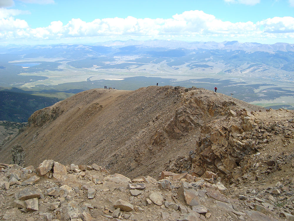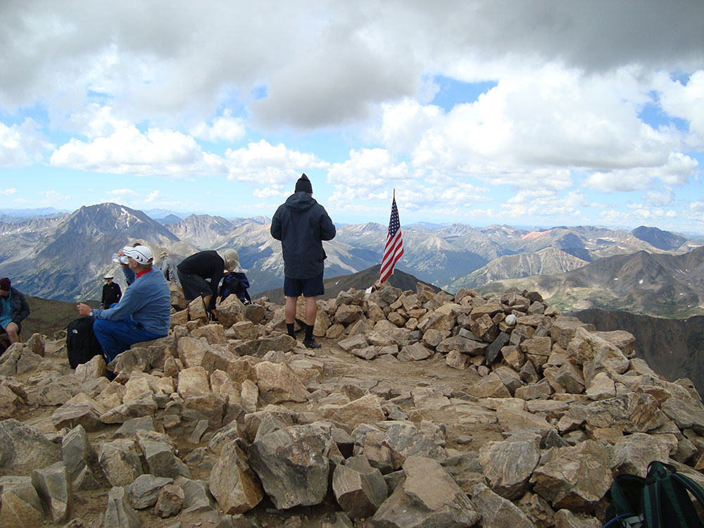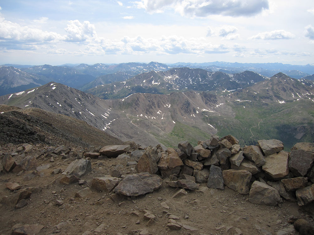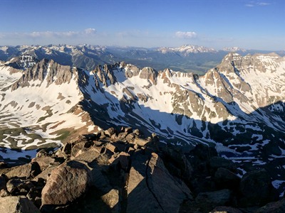

Jagged alpine peak featuring a rugged ascent, dramatic volcanic rock formations, and expansive high-mountain views across surrounding basins and wilderness.
General Information
Elevation Gain: ~3,000 feet
Difficulty: Difficult (Class 2–3 with loose rock near summit)
Early starts strongly recommended due to weather and exposure
Ridgway (25 mi)
Montrose (45 mi)
How to Get There
From Ouray (10 mi): Take CO-550 south briefly, turn onto County Road 7 (Camp Bird Road), and follow it to Yankee Boy Basin and the upper trailhead parking areas.
Overview
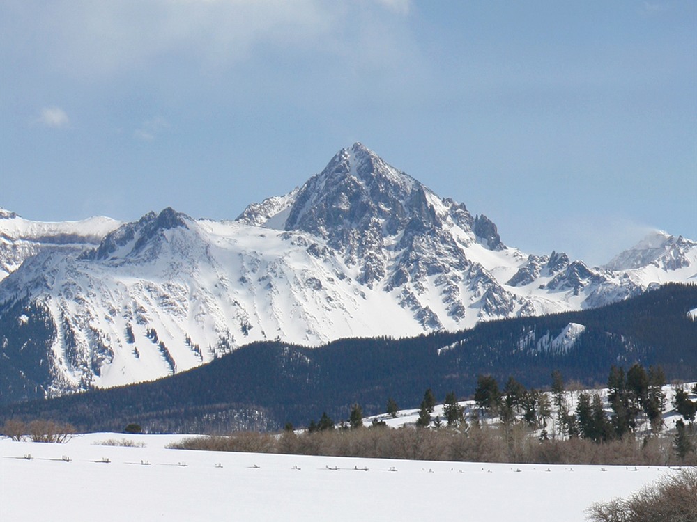
Mount Sneffels (14,158 feet) is the highest summit of the Sneffels Range in the San Juan Mountains, in the Mount Sneffels Wilderness near Ouray and Telluride. It is a scramble (class 3) up a gully to the summit, with views of the jagged San Juans.
Top Trail
| Trail | Length | Elevation Gain | Highlights |
|---|---|---|---|
| South Slopes route from Yankee Boy Basin | About 6.5 miles round trip | About 2,900 feet | A wildflower basin, and a steep gully; a 4WD road leads to the upper trailhead |
This article uses material from the Wikipedia article "Mount Sneffels", which is released under the Creative Commons Attribution-Share-Alike License 3.0
Featured Trail
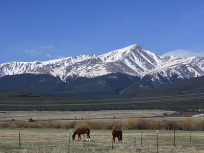
Jeff P from Berkeley, CA, USA, CC BY 2.0, via Wikimedia Commons; Image Size Adjusted
.jpg)
North Mount Elbert Trail
10.4 miles roundtrip, 4,468 feet elevation gain