Mount Bierstadt

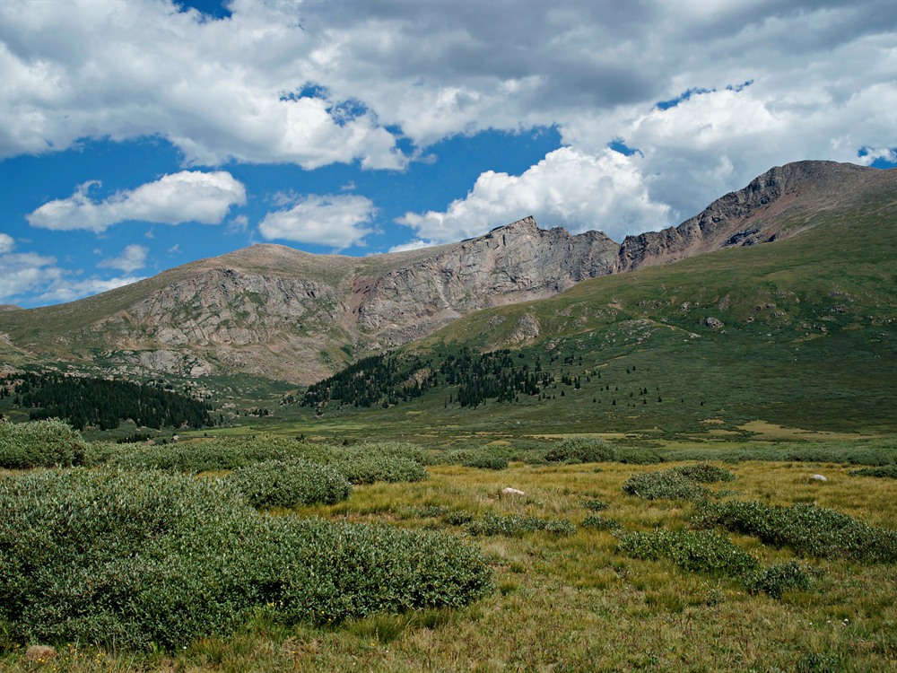
David Herrera from Albuquerque, NM, Bernalillo, CC BY 2.0, via Wikimedia Commons; Image Size Adjusted

Popular high-elevation peak accessible by a moderate alpine hike featuring expansive views, tundra landscapes, and a well-defined trail to the summit.

General Information

Length, Elevation Gain & Difficulty:
Length: ~7 miles round trip
Elevation Gain: ~2,800 feet
Difficulty: Moderate to strenuous
Hours:
Open daily from sunrise to sunset
Best to start early morning to avoid weather changes
Fees:
Day-use fee required for parking area (approx. $5–$10)
No hiking permit required
Pet Policy:
Dogs are allowed on leash
Closest cities with hotels:
Georgetown (12 mi)
Idaho Springs (20 mi)
Denver (65 mi)
Seasons:
Late spring through fall (snow persists into early summer)
Location:
https://maps.app.goo.gl/YcQxUXFszxTH4nEo9Mount Bierstadt Trailhead
Website:
fs.usda.gov

From Georgetown (12 mi): Take I-70 to Exit 228, follow Guanella Pass Road south for about 12 miles to the trailhead parking area at the summit of the pass.

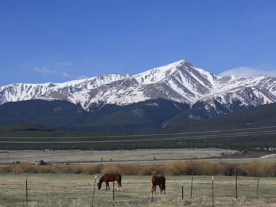
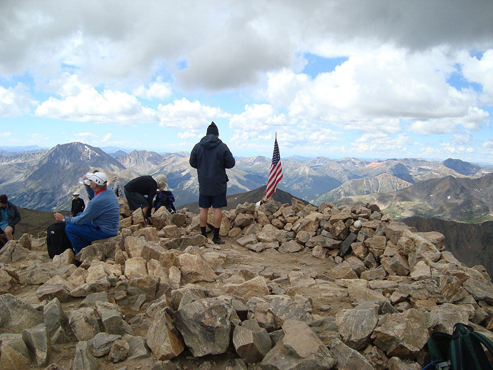
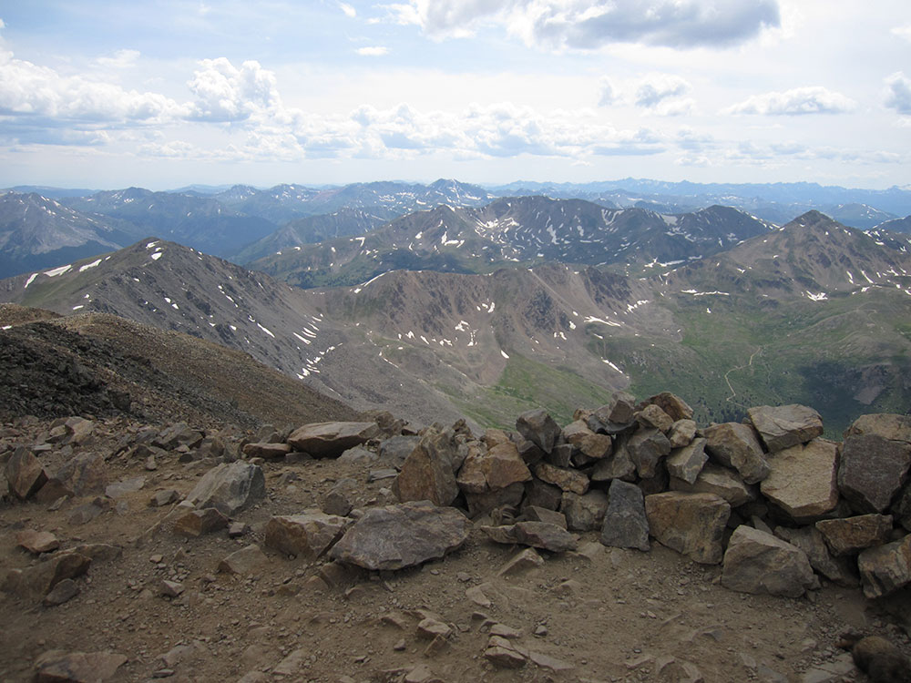
Mount Bierstadt is a 14,065-foot-high (4,287 m) mountain summit in the Front Range of the Rocky Mountains, in Colorado. The fourteener is located in the Mount Evans Wilderness of Pike National Forest, 9.4 miles (15.1 km) south by east of the Town of Georgetown in Clear Creek County. It was named in honor of Albert Bierstadt, an American landscape painter who made the first recorded summit of the mountain in 1863.

Mount Bierstadt is located 1.4 miles (2.2 km) west by south of Mount Blue Sky and 43.8 miles (70.5 km) west by south of downtown Denver.

Because it is generally considered an easy climb, along with its accessibility from nearby Denver, Mount Bierstadt is one of the most popular mountains to climb in Colorado. As with most peaks in Colorado, July and August make the best months for climbing Mount Bierstadt.

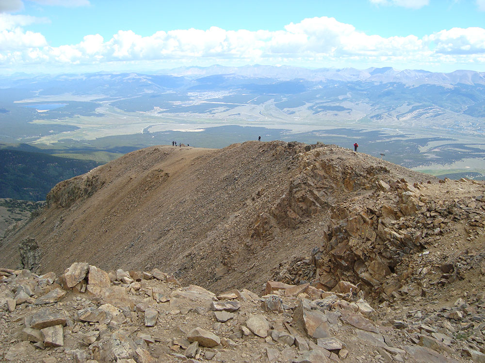
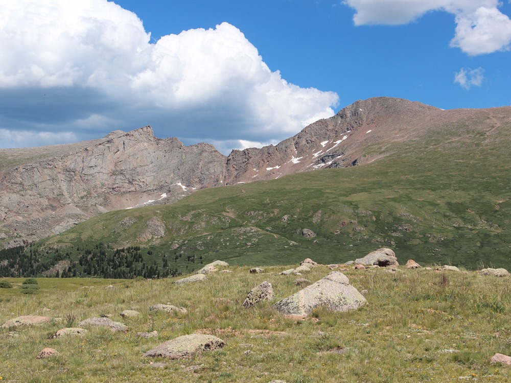
The most popular base from which to begin ascent of Mount Bierstadt is Guanella Pass, located to the west. From Guanella Pass it is approximately a 7 miles (11 km) hike, with a climb of 2,391 feet (729 m). The trail descends slightly into the fairly level marshlands surrounding Scott Gomer Creek before reaching Bierstadt's western slopes. On the rocky upper regions of the mountain the route of the trail is marked by a series of cairns. The trail levels about 200 feet (61 m) below the summit at saddle point before beginning the final ascent. Alternative trails cover the eastern slopes for longer hikes.

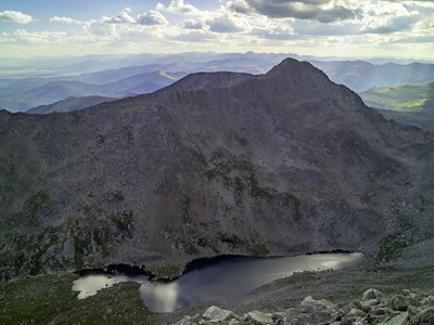
Once at the summit, a popular option is to continue the hike to nearby Mount Blue Sky along a ridge known as The Sawtooth, an intermediate-level hike that overlooks Abyss Lake, which occupies the bottom of the valley separating Bierstadt and Blue Sky.

This article uses material from the Wikipedia article "Mount Bierstadt", which is released under the Creative Commons Attribution-Share-Alike License 3.0

Pimlico27, CC BY-SA 4.0, via Wikimedia Commons ; Image Size Adjusted
Sailing Dutchman, CC BY-SA 3.0, via Wikimedia Commons ; Image Size Adjusted