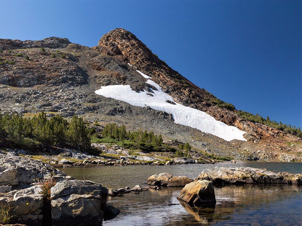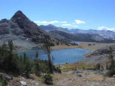

Hike offering some of the most spectacular high-country views off of Tioga Road
Middle Gaylor Lake: 2.4 mi round trip
Great Sierra Mine via Gaylor Lakes Trail (Middle and Upper Gaylor Lakes): 3.7 mi round trip
Middle Gaylor Lake: 800 ft
Great Sierra Mine via Gaylor Lakes Trail (Middle and Upper Gaylor Lakes): 1,227 ft
How to Get There
To Lower Gaylor Lake Trailhead from Yosemite Valley El Portal Entrance (61 mi): Take El Portal Rd and Big Oak Flat Rd to Ireland Lake. Drive to Tioga Rd/Tioga Pass Rd to trailhead on the left
Gaylor Lakes Trailhead (Middle and Upper Lakes) from Yosemite Valley El Portal Entrance (65 mi): Take El Portal Rd and Big Oak Flat Rd to Ireland Lake. Follow Tioga Rd/Tioga Pass Rd. Turn left at trailhead
Overview
This hike offers some of the most spectacular high-country views off of Tioga Road. From the trailhead, climb steadily to a ridge with views of the high Sierra including Mt. Dana and Dana Meadows with its scattered ponds. At the ridge crest, the trail drops 200 feet to Middle Gaylor Lake. Return via the same route.
This article uses material from nps.gov "Yosemite National Parks"