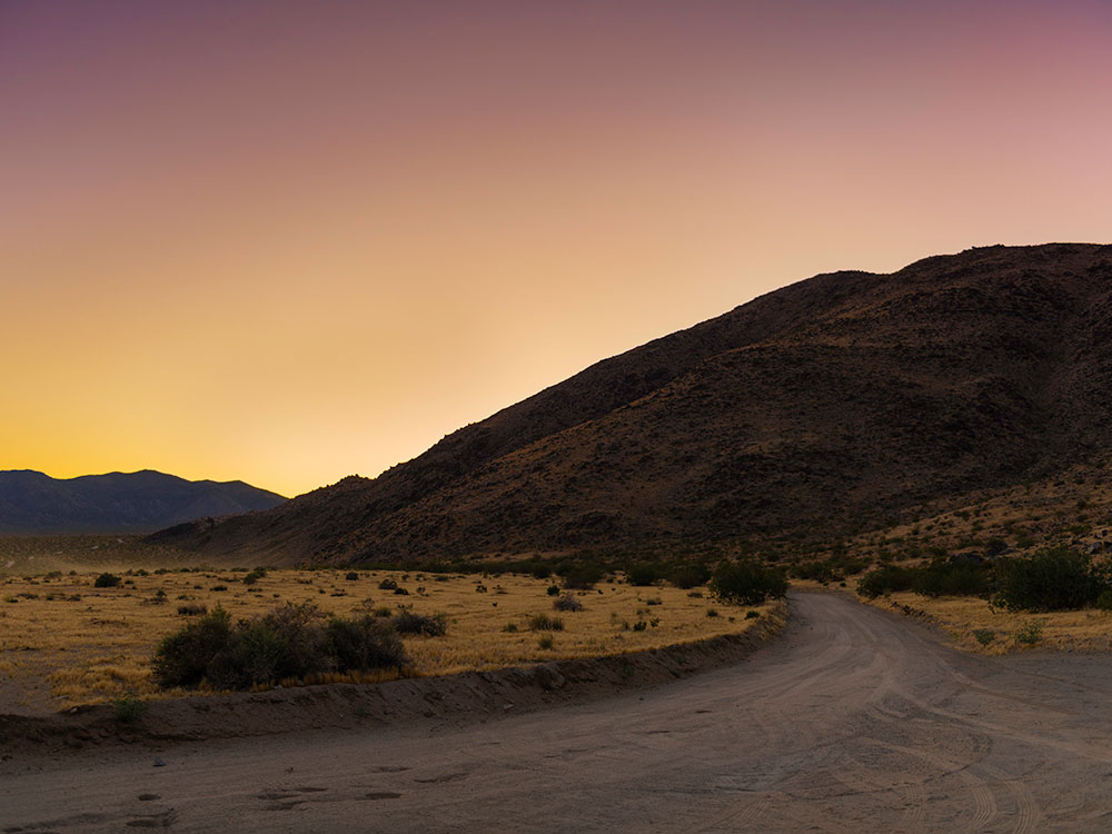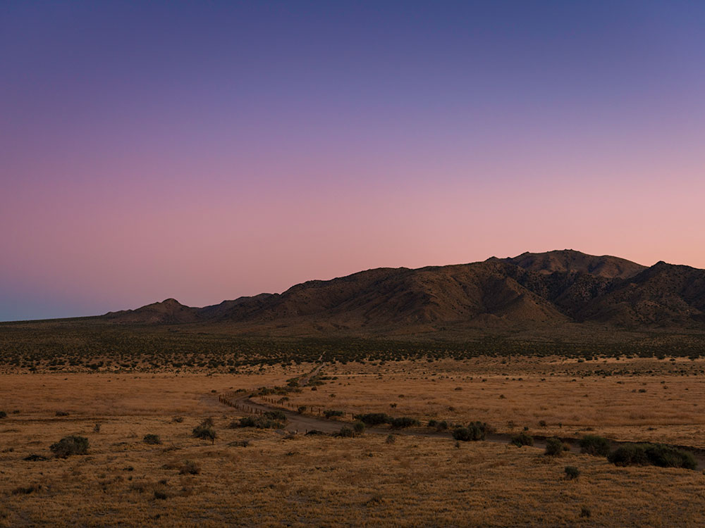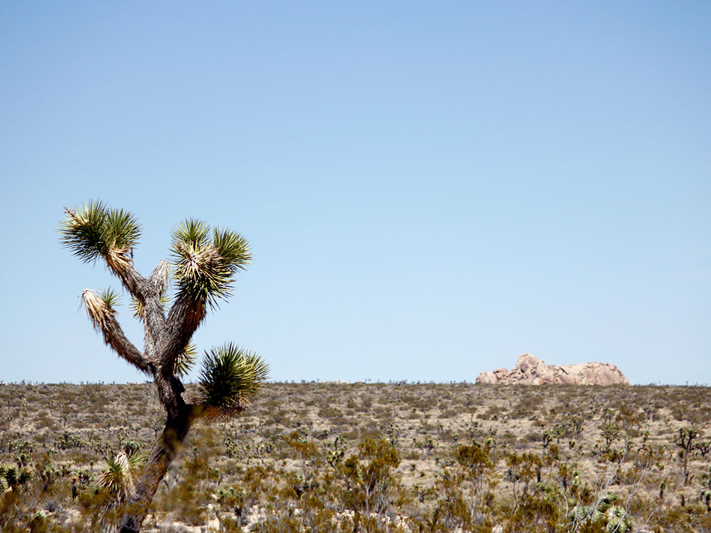

Scenic 18-mile dirt road loop through desert valleys and rugged terrain featuring numbered geological stops, panoramic viewpoints, and limited access for high-clearance vehicles.
General Information
Driving the full loop takes approximately two hours
Check road conditions with park rangers before entering
Motorcycle: $25
Individual (on foot or bicycle): $15
Annual Joshua Tree Pass: $55
America the Beautiful Pass: $80
Joshua Tree (20 mi)
How to Get There
From Joshua Tree National Park Visitor Center (20 mi): Drive east on CA-62, turn right onto Park Blvd, continue 15 miles to the marked turnoff near Jumbo Rocks Campground, then follow signs to Geology Tour Road.
Overview
The Geology Tour Road offers a self-guided motor tour through some of Joshua Tree National Park’s most fascinating geological formations. Spanning 18 miles round-trip, the dirt road winds through Pleasant Valley and past 16 numbered stops that highlight volcanic intrusions, fault zones, and erosional features. The first few miles are accessible to most vehicles in good weather, but beyond Squaw Tank, a high-clearance 4WD is strongly recommended. Visitors can pick up an interpretive brochure at the trailhead to learn about each stop along the route, including historic water tanks and panoramic overlooks.
Ideal for fall through spring, the road provides access to remote hiking trails and climbing areas, though it is not suitable for trailers or RVs. Cell service is unreliable, so maps and emergency supplies are essential. The loop section of the road offers dramatic views of the surrounding mountains and desert floor, making it a favorite for photographers and geology enthusiasts. Whether you're driving, biking, or hiking portions of the route, Geology Tour Road delivers a rugged and educational adventure into the heart of Joshua Tree’s desert landscape.
This article uses material from the Wikipedia articles and official tourism pages for the Geology Tour Road, which are released under the Creative Commons Attribution-Share-Alike License 3.0.