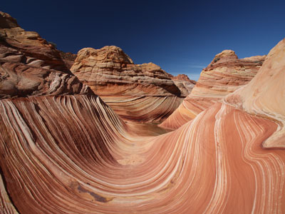

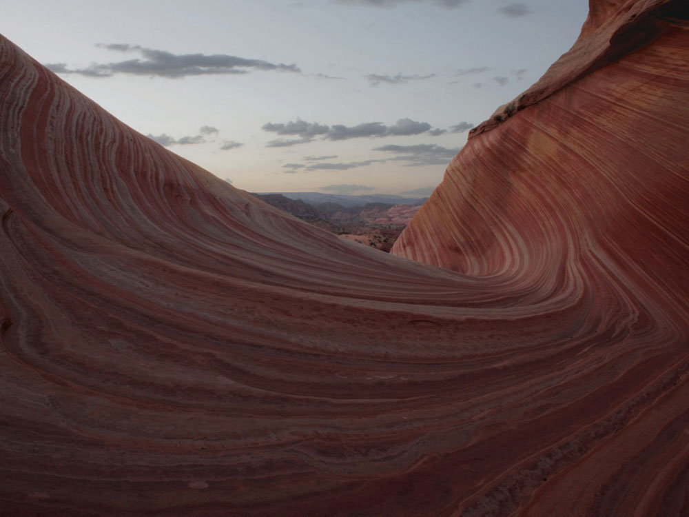
Remote sandstone landscape of eroded rock formations, ridges, and sculpted domes displaying vivid layers of red, orange, and white created by millions of years of geological processes.
Access dependent on weather and road conditions
No facilities or services on site
Per person fee: approximately $9 plus permit fee
Additional costs may apply for guided tours
Page, AZ (50 mi)
How to Get There
From Kanab, UT (40 mi): Take US-89 south for approximately 30 miles, turn onto House Rock Valley Road, then follow designated dirt routes toward Paw Hole or Cottonwood Cove trailheads, continuing across deep sand roads requiring high-clearance 4WD to reach the access points.
Overview
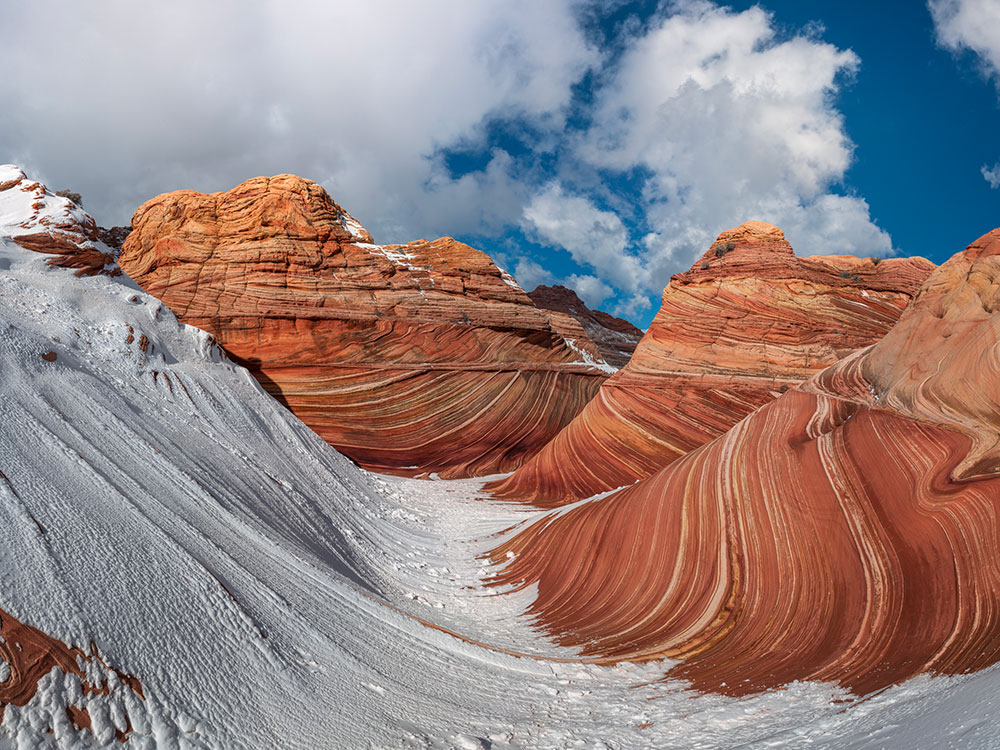
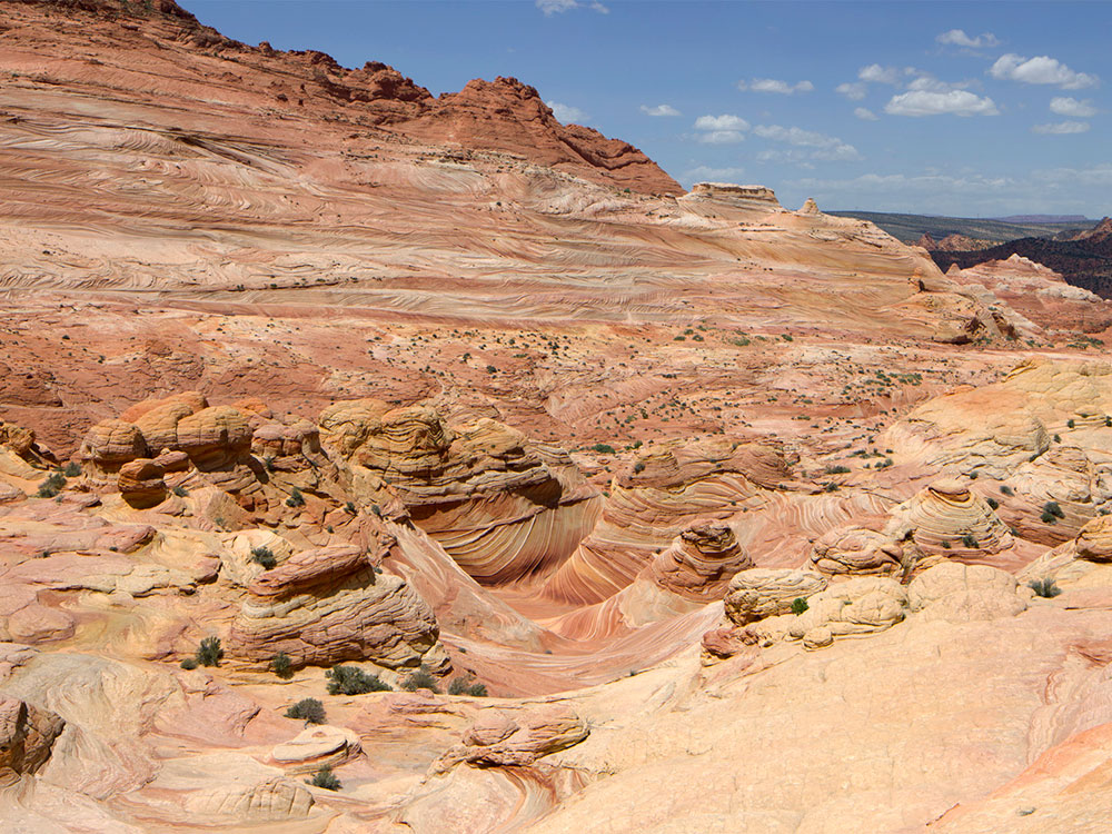
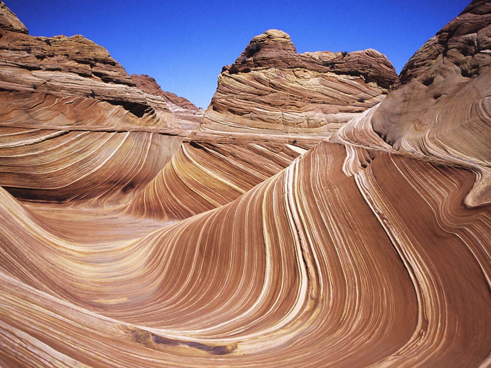
The Coyote Buttes South area is a vast and visually striking section of desert wilderness where erosion has sculpted surreal rock formations into ridges, domes, and towering cone-shaped structures often referred to as “teepees.” These formations display vibrant bands of color, ranging from deep reds to pale whites, created by ancient layers of sedimentary rock that hardened over time and were later shaped by wind and water into intricate patterns. Unlike more confined destinations, the landscape here is open and expansive, inviting visitors to explore freely without a single defined destination.
The experience is defined by solitude and discovery, as limited permits keep visitor numbers low and preserve the fragile terrain. Travelers move across sandy flats and rock outcrops, navigating by sight and GPS rather than marked trails. Each viewpoint reveals new textures and formations, with light and shadow shifting throughout the day to transform the appearance of the land. This remote setting, combined with its striking geological diversity, offers a more secluded and immersive alternative to other well-known formations, delivering a sense of exploration in one of the Southwest’s most distinctive desert environments.
Permit Process
The permit process for Coyote Buttes South is designed to protect a fragile desert landscape while still allowing limited public access, using a reservation system rather than the highly competitive lottery used for The Wave. Visitor numbers are capped at a daily quota, typically allowing only a small number of people to enter each day, and permits can be obtained either through an advance online lottery or, when available, through a limited reservation pool. Applicants apply through Recreation.gov, selecting specific entry dates and group sizes, with permits usually issued for areas such as Paw Hole and Cottonwood Cove. Group sizes are restricted, and all members must be included on the permit, helping reduce environmental impact across the wide, open terrain. [1](https://adventurechild.com/emerald-cave-visiting-guide/)
Unlike the North unit, the process is generally less competitive, offering visitors a better chance of securing access while still maintaining controlled visitation. Once awarded, permits are valid only for the designated date, and visitors are responsible for navigating unmarked terrain using maps or GPS coordinates. The remote nature of the area requires preparation, including sufficient water, awareness of weather conditions, and proper vehicles for access roads. This system balances accessibility with conservation, ensuring that the unique sandstone formations remain protected while allowing visitors to explore the landscape in a more flexible and less crowded setting. [1](https://adventurechild.com/emerald-cave-visiting-guide/)
This article uses material from the Wikipedia articles and official tourism pages for the Vermilion Cliffs National Monument, which are released under the Creative Commons Attribution-Share-Alike License 3.0.



-1000.jpg)
.jpg)