.jpg)
Highest point in Georgia located in the northeastern part of the state in the Blue Ridge Mountains
General Information
Length:
1.2–1.3 miles roundtrip
Elevation Gain:
400–430 feet
Difficulty
Moderate
Hours:
Open daily, sunrise to sunset for grounds
Visitor Center: 10:00am to 5:00pm (typically April–December, weather permitting)
Visitor Center: 10:00am to 5:00pm (typically April–December, weather permitting)
Fees:
Adults (16+): $7–$10
Children (15 and under): Free
Children (15 and under): Free
Pet Policy:
Dogs are allowed on trails but must be kept on a leash; not permitted in visitor center or shuttle
Closest cities with hotels:
Hiawassee, GA (about 9 miles)
Seasons:
Spring through fall for best weather; open year-round depending on conditions
Location:
Website:
How to Get There
From Hiawassee, GA (9 mi): Take US-76 east to GA-17/GA-75, then follow GA-180 and GA-180 Spur north to the Brasstown Bald parking area where a short hike or shuttle leads to the summit.
Overview
Brasstown Bald is the highest point in Georgia, rising in the Blue Ridge Mountains south of Hiawassee on the border of Towns and Union counties, within the Chattahoochee National Forest. The Cherokee know the mountain as Enotah. On a clear day the observation tower gives views of Atlanta's skyline, about 85 miles away.
Getting to the Summit
- Drive: take Georgia State Route 180 Spur to a parking lot 0.5 miles from the top
- Final stretch: ride the shuttle or walk a short paved trail to the summit
This article uses material from the Wikipedia article "Brasstown Bald", which is released under the Creative Commons Attribution-Share-Alike License 3.0
-1000.jpg)
.jpg)
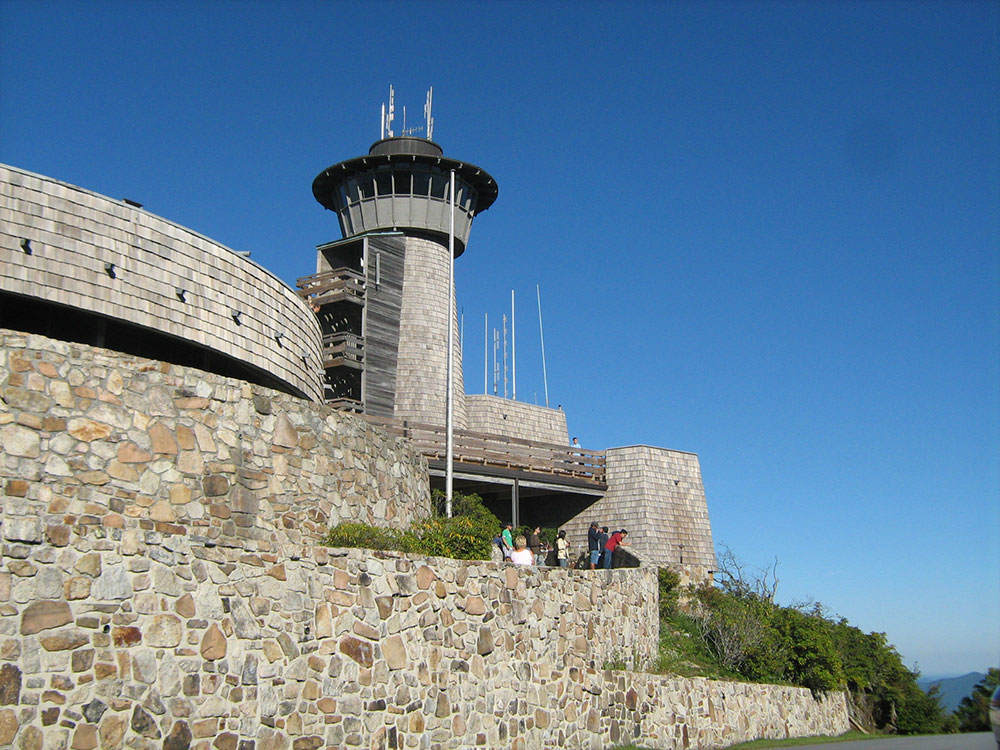

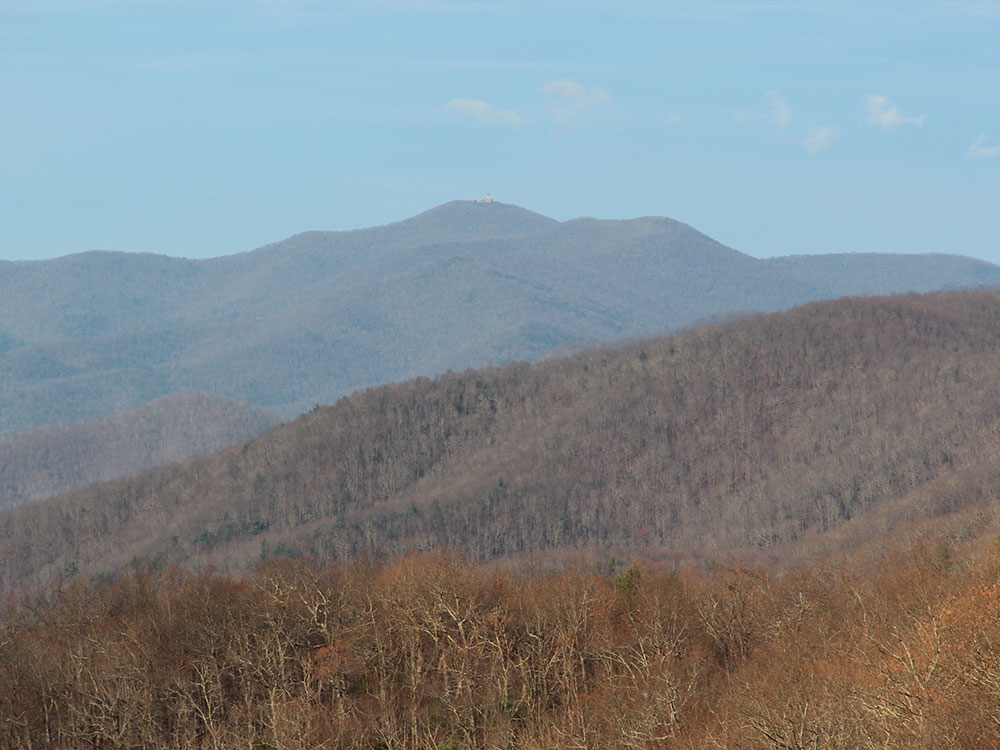 Thomson200, CC0, via Wikimedia Commons ; Image Size Adjusted
-1000.jpg)
.jpg)
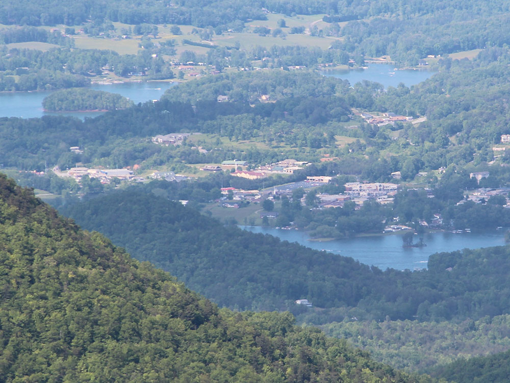 Thomson200, CC0, via Wikimedia Commons ; Image Size Adjusted
-1000.jpg) Anthony Rizzo, CC BY-SA 4.0, via Wikimedia Commons ; Image Size Adjusted
Anthony Rizzo, CC BY-SA 4.0, via Wikimedia Commons ; Image Size Adjusted.jpg)