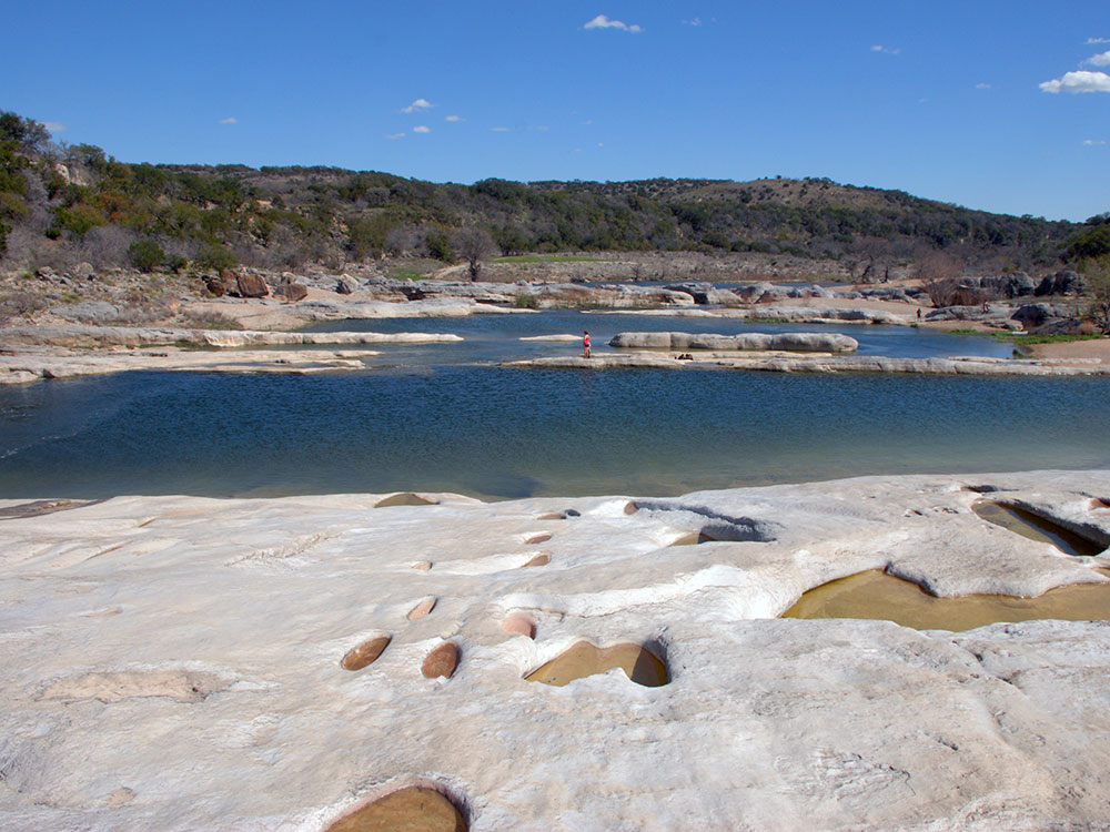
5,212-acre state park situated along the banks of the Pedernales River in Blanco County, Texas
General Information
How to Get There
From Fredericksburg (13 mi): Take US-290 East approximately 9 miles, then turn left (north) onto Ranch Road 3232 and follow it about 6 miles to the park entrance on Park Road 6026.
Overview
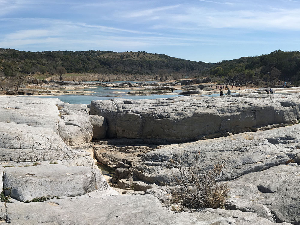
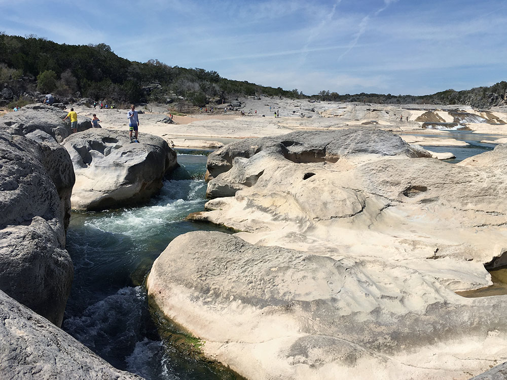
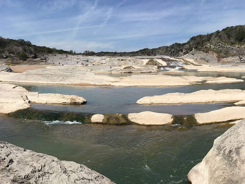
Pedernales Falls State Park is a 5,212-acre Texas state park along the Pedernales River in Blanco County, about 10 miles east of Johnson City and 40 miles west of Austin. Its centerpiece is Pedernales Falls, a series of cascading limestone steps where the river tumbles for roughly a mile before pooling into calm, clear stretches for swimming and fishing — the tilted, layered slabs expose roughly 300 million years of the Edwards Plateau's geologic history. The land was once the Circle Bar Ranch before Texas purchased it in 1970 and opened it as a state park the following year.
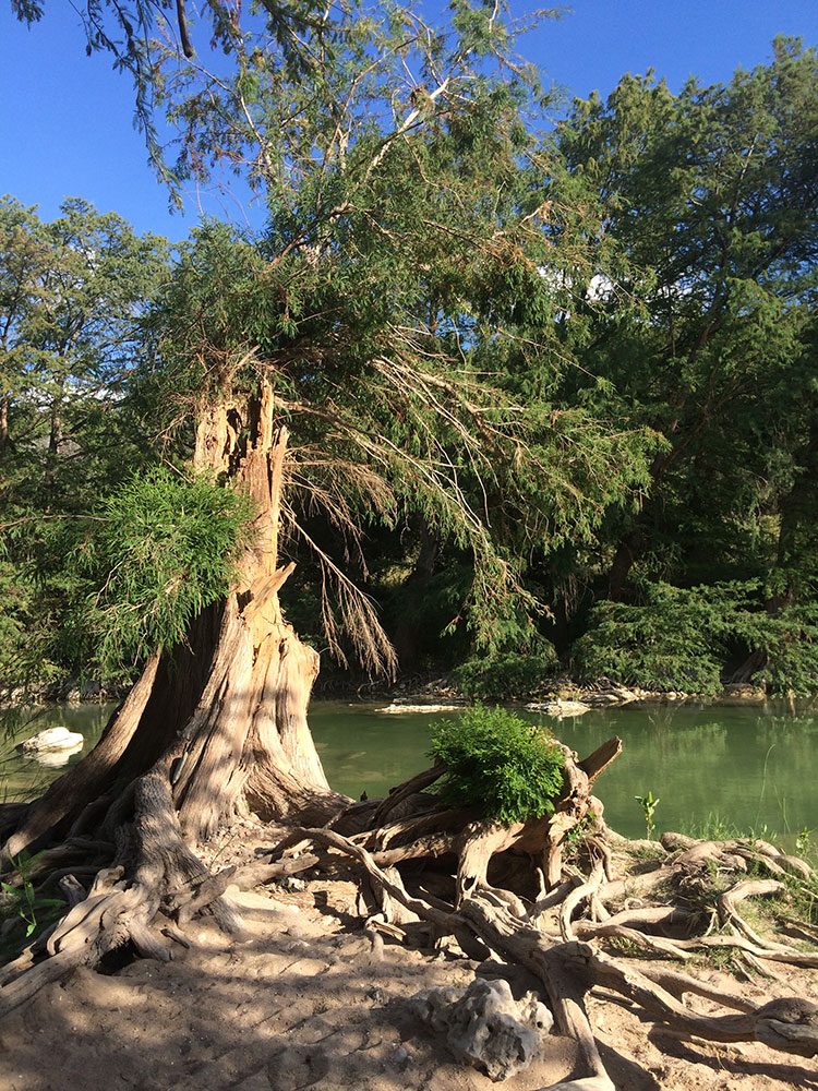
Beyond the falls, the park's cedar and live-oak Hill Country terrain supports miles of trails for hikers, mountain bikers, and equestrians, along with both developed and backcountry campsites. Flash flooding can occur rapidly on the Pedernales River after upstream rain, so visitors should stay alert to water levels and posted warnings at all times.
Things to Do
View the Pedernales Falls
See the park's signature attraction where the Pedernales River cascades over massive limestone slabs, creating one of the most recognizable landscapes in the Texas Hill Country.
Swim in the Pedernales River
Enjoy designated swimming and wading areas along the river, offering a refreshing escape during warm Texas days.
Hike More Than 40 Miles of Trails
Explore scenic trails that traverse rivers, canyons, forests, springs, overlooks, and rugged Hill Country terrain.
Mountain Bike Through the Hill Country
Ride a variety of trails ranging from beginner-friendly routes to the challenging Juniper Ridge Trail.
Paddle the Pedernales River
Bring a kayak, canoe, or tube and experience the river from a different perspective.
Go Horseback Riding
Experienced riders can explore rugged equestrian trails that cross limestone hills and scenic backcountry areas.
Camp Under the Stars
Choose from developed campsites with utilities or primitive sites for a more secluded outdoor experience.
Top Trails
Pedernales Falls Trail
Distance: 0.6 miles
Difficulty: Easy
Highlights: Close-up views of the famous limestone falls and river formations.
Twin Falls Nature Trail
Distance: 0.5 miles round trip
Difficulty: Moderate
Highlights: Scenic overlook and one of the most picturesque viewpoints in the park.
Wolf Mountain Loop Trail
Distance: 5.5 miles
Difficulty: Moderate
Highlights: Hill Country views, springs, creek crossings, and panoramic scenery from Tobacco and Wolf Mountains.
Jones Spring Trail
Distance: 2.6 miles
Difficulty: Moderate
Highlights: Cedar forests, historic rock house ruins, and a natural spring.
Juniper Ridge Trail
Distance: 9.7 miles
Difficulty: Challenging
Highlights: Technical single-track terrain, shaded sections, and advanced mountain biking opportunities.
Hackenburg Loop Trail
Distance: 1.4 miles
Difficulty: Moderate
Highlights: River views, rugged terrain, and evidence of the area's powerful flash-flood geology.
Cypress Mill Loop
Distance: 4.9 miles
Difficulty: Moderate
Highlights: River crossings, historic sites, scenic overlooks, and quieter areas of the park.
This article uses material from the Wikipedia articles and official tourism pages for the Pedernales Falls State Park, which are released under the Creative Commons Attribution-Share-Alike License 3.0.