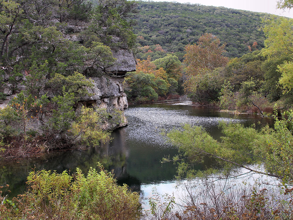
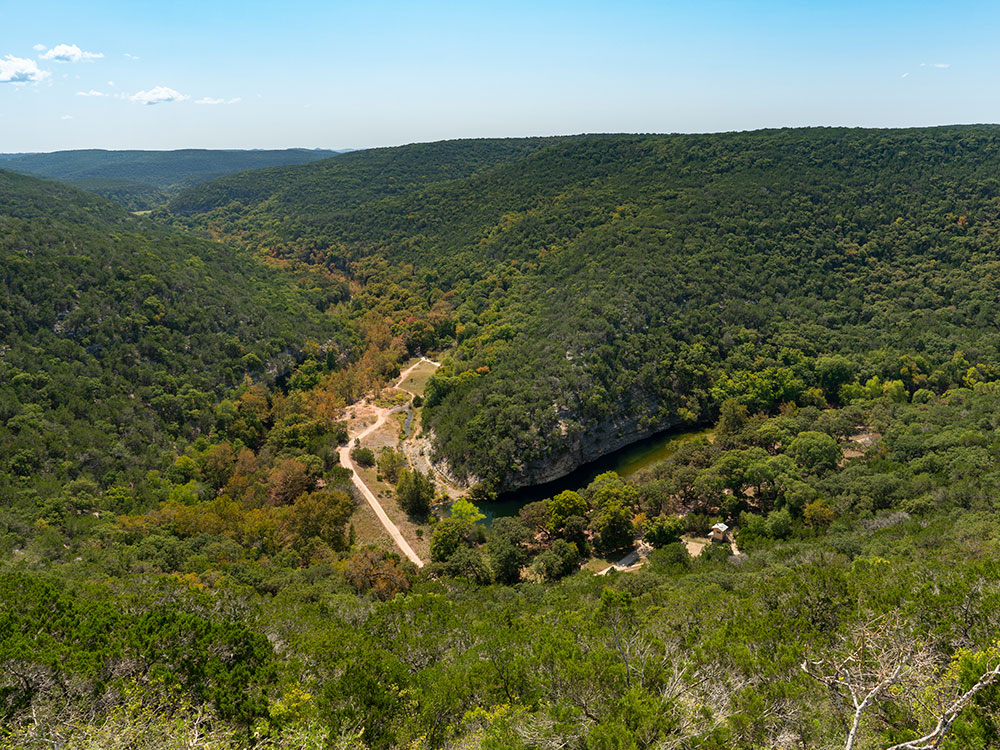
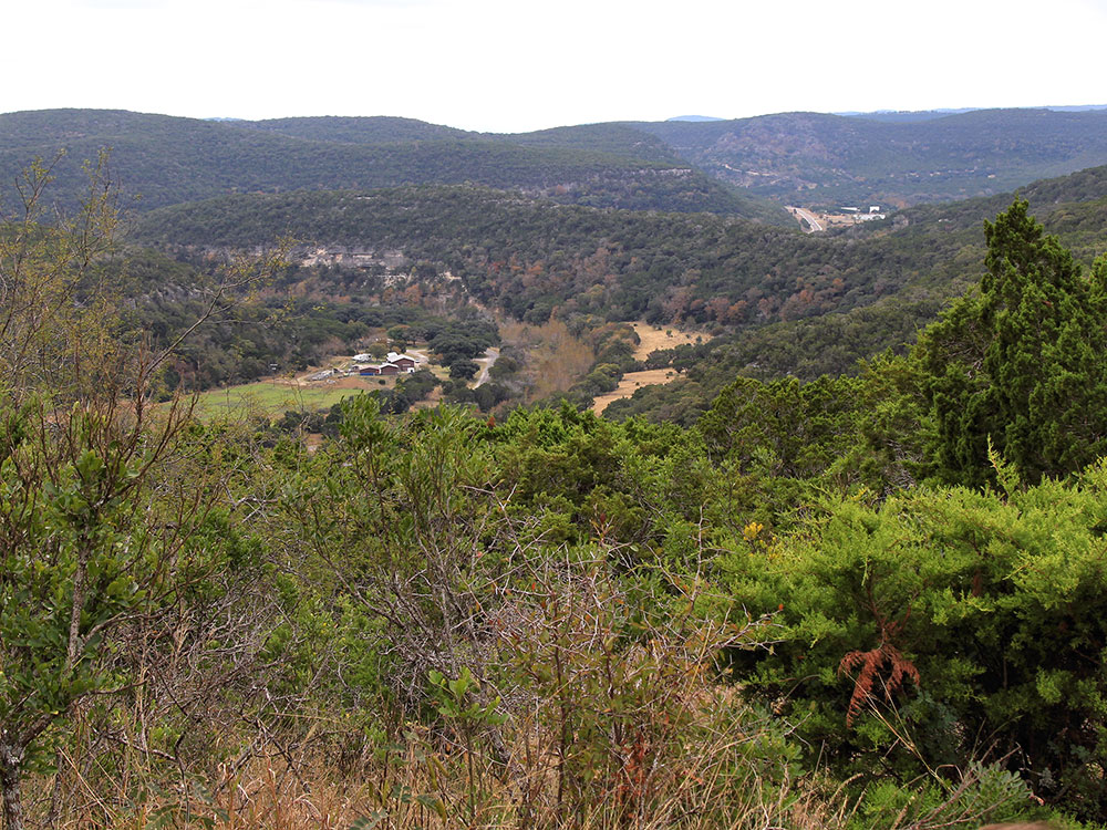
Large, pristine area of beautiful hills and canyons on the upper Sabinal River in the Edwards Plateau Region of Texas
General Information
How to Get There
From Kerrville (43 mi): Take TX-16 South to Medina, turn left onto FM 337 toward Vanderpool, then turn right onto TX-187 North and continue approximately 5 miles to the park entrance on the left.
Overview
Lost Maples State Natural Area is a large, pristine area of beautiful hills and canyons on the upper Sabinal River in the Edwards Plateau Region of Texas. It is designated a Natural Area, rather than a State Park, which means the primary focus is the maintenance and protection of the property's natural state. Accordingly, access and recreational activities may be restricted if the Texas Parks & Wildlife Department (TPWD) deems such action necessary to protect the environment.
Location
The 2,906-acre (11.76 km2) Lost Maples State Natural Area is located about 5 miles (8 km) north of Vanderpool, Texas and 71 miles (114 km) northwest of San Antonio. The preserve sits along the Sabinal River in western Bandera County and far eastern Real County.
Things to Do
Experience Texas Fall Foliage
Lost Maples is famous for its spectacular autumn colors produced by rare Uvalde bigtooth maple trees. Visitors from across Texas come each year to see vibrant shades of red, orange, and yellow.
Hike More Than 10 Miles of Trails
Explore rugged trails that wind through canyons, wooded slopes, streams, grasslands, and scenic overlooks throughout the natural area.
Visit Scenic Overlooks
Several trails lead to elevated viewpoints offering sweeping vistas of the Sabinal River Valley, limestone cliffs, and Hill Country landscape.
Explore the Sabinal River
Walk along clear streams and river corridors that support a variety of plant and animal life in the park.
Go Birdwatching
Observe numerous bird species including the endangered golden-cheeked warbler and other migratory and resident birds.
Photograph Scenic Landscapes
Capture dramatic canyon walls, colorful foliage, wildflowers, streams, and panoramic Hill Country views throughout the year.
Camp or Backpack
Choose from developed campsites with utilities or primitive backpacking sites for a more remote outdoor experience.
Fish the Sabinal River and Can Creek
Enjoy freshwater fishing in designated areas along the streams within the natural area.
Stargaze Under Dark Skies
The remote location provides excellent opportunities to observe stars and enjoy the night sky.
Geocache and Explore Nature
Search for geocaches while discovering the unique geology, wildlife, and plant communities of the Texas Hill Country.
Top Trails
Lost Maples East Trail Loop
Distance: 5.3 miles
Difficulty: Moderate
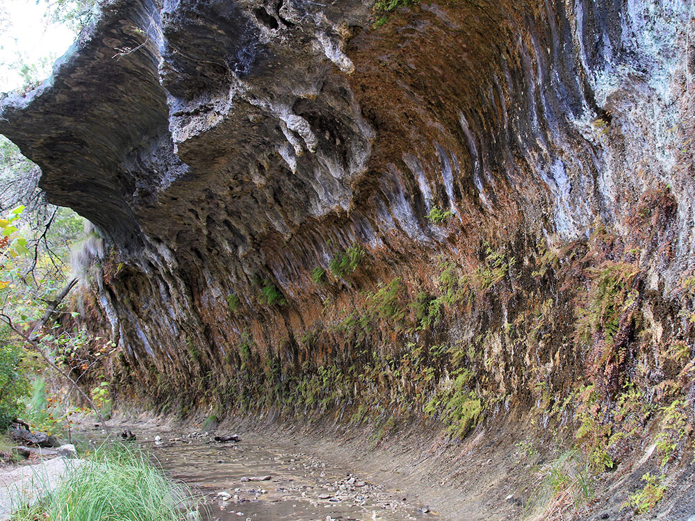
Highlights: The Grotto, dramatic cliffs, maple groves, creek crossings, and elevated overlooks.
Lost Maples West Trail Loop
Distance: 7.2 miles
Difficulty: Moderate
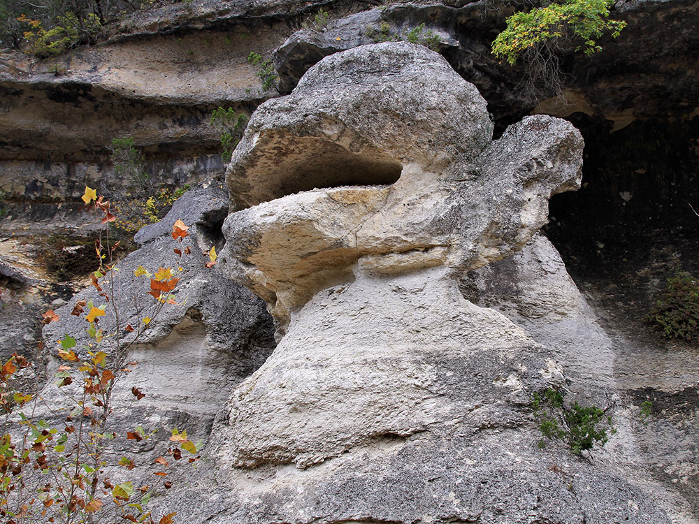
Highlights: Scenic overlooks, canyon views, unique rock formations, birdwatching opportunities, and fall foliage.
East-West Trail to Birds Eye View
Distance: 3.9 miles
Difficulty: Moderate
Highlights: Excellent viewpoints overlooking the Sabinal River Valley and surrounding Hill Country terrain.
East Trail, West Trail & West Loop Combination
Distance: 10.4 miles
Difficulty: Moderate to Challenging
Highlights: Cliff-top views, rugged terrain, extensive maple stands, and some of the best scenery in the park.
History
The land for Lost Maples State Natural Area was acquired by the state of Texas in 1973 and 1974, and was opened to the public in 1979. In 1980, the Heritage Conservation and Recreation Service made the Natural Area a National Natural Landmark.
Humans have inhabited this area since prehistoric times. The recorded history of the area, beginning with Spanish explorations in the 17th century, identifies a number of Indian groups, including the Apache, Lipan Apache and Comanche as having foraged, hunted, and occasionally lived in this part of the Texas Hill Country.
Geology
Much of the area's limestone bedrock is exposed on elevated terrain, which has a shallow, discontinuous cover of dark gray stony clay (Eckrant series). Most valley bottoms have deep, dark brown silty clay (Krum series) or clay loam (Pratley series). Deposits of gravel, sand, and loam (Orif-Boerne association) lie within a few hundred feet of the Sabinal River. All of these soils have free calcium carbonate throughout their profiles and are moderately alkaline. Despite a high clay content in most cases, poorly drained soils are too inextensive to be mapped.
Fauna
As in much of the Hill Country, white-tailed deer (Odocoileus virginianus) are by far the most common large mammal on the property. Additionally, wild turkeys, armadillos, skunks, raccoons, opossums, rabbits, and fox squirrels are present. Feral pigs, exotic axis deer, porcupines, rock squirrels, and ringtails may occasionally be encountered. Bobcats, coyotes, both red and grey foxes, and rarely, mountain lions, also inhabit the general area, but are seldom seen by visitors. Bird life, including several different raptors, is particularly abundant and diverse throughout the year. Venomous snakes include the copperhead and coral. The Sabinal River maintains surface water even during exceptional drought (as in 2011), so fish and other aquatic animals are always present.
Flora
Primary vegetation includes the Ashe juniper (often called mountain cedar), several different species of oak, and also bigtooth maple (not a verified presence in Real County), sycamore, mesquite, Texas persimmon, Texas mountain-laurel, Texas madrone, redbud, wild grape, prickly pear, and various types of brush, grasses, and ferns. Bigtooth Maple colors are brilliant if autumn is droughty, or has cold nights, but are muted in a mild, damp autumn. Texas red oak gives a fine crimson display almost every year and may retain its leaves well into winter. The Natural Area is most crowded when the fall colors peak in late October- early November. Evidence suggests that the maple trees that give the preserve its name are relics: remnants of a larger, more widespread population that flourished during the cooler and wetter climate of the last glacial period. Today, their distribution is limited by the relative rarity of the soils and microclimates they require to thrive.
Recreation
The 2,906-acre (1,176 ha) reserve contains 11 miles (18 km) of hiking trails, 30 campsites, and eight primitive camping areas. In the center of the park are two small lakes along Can Creek.
This article uses material from the Wikipedia article "Lost Maples State Natural Area", which is released under the Creative Commons Attribution-Share-Alike License 3.0 Sources: Texas Parks & Wildlife Department information on hiking, camping, fishing, birdwatching, fall foliage, wildlife, and visitor activities. [1](https://tpwd.texas.gov/state-parks/lost-maples)[2](https://tpwd.texas.gov/spdest/parkinfo/maps/gis/lost_maples/) Trail distances, difficulty ratings, overlooks, The Grotto, Birds Eye View, and route descriptions. [3](https://www.alltrails.com/trail/us/texas/lost-maples-east-trail-west-trail-and-west-loop-trail)[4](https://www.alltrails.com/parks/us/texas/lost-maples-state-natural-area) Additional information regarding fall color, natural features, landscape characteristics, and visitor experiences. [5](https://incredibletexas.com/lost-maples-state-natural-area-camping-hiking/)[6](https://exploretexasstateparks.com/hill-country/lost-maples-state-natural-area.html)