Mountain range located in West Texas and southeastern New Mexico, includes the highest summit in Texas, Guadalupe Peak, at 8,751 ft (2,667 m)
General Information
Overview
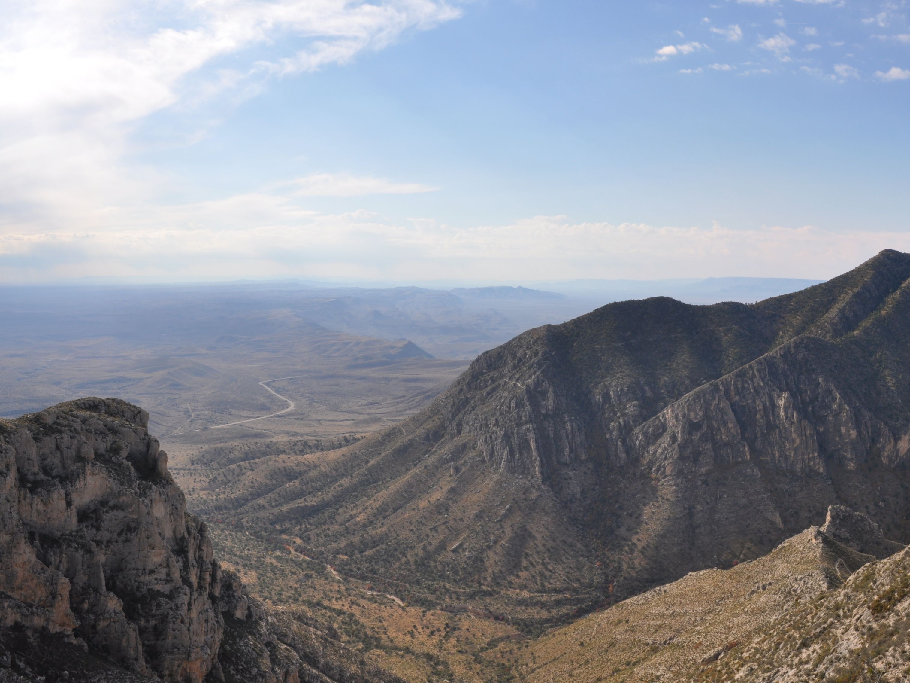
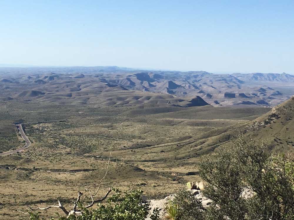
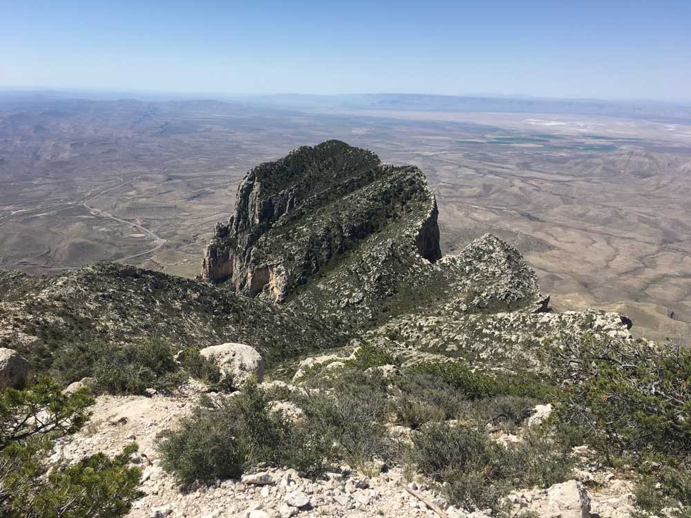
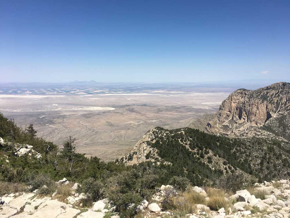
Guadalupe Peak, also called Signal Peak, is the highest point in Texas at 8,751 feet — the crown of the Guadalupe Mountains, a range rising out of the Chihuahuan Desert along the Texas-New Mexico line that culminates dramatically at El Capitan to the south. The peak stands roughly 90 miles east of El Paso and 50 miles southwest of Carlsbad, New Mexico, towering more than 3,000 feet above the desert floor below.
Things to Do
Hike to the Summit
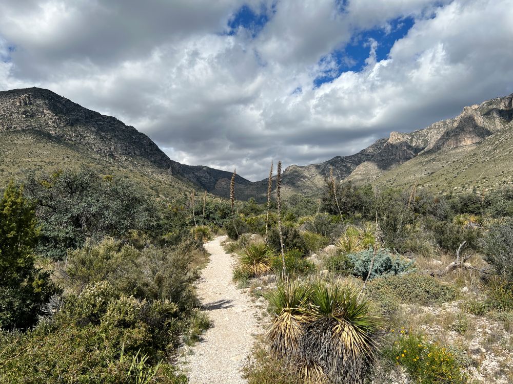
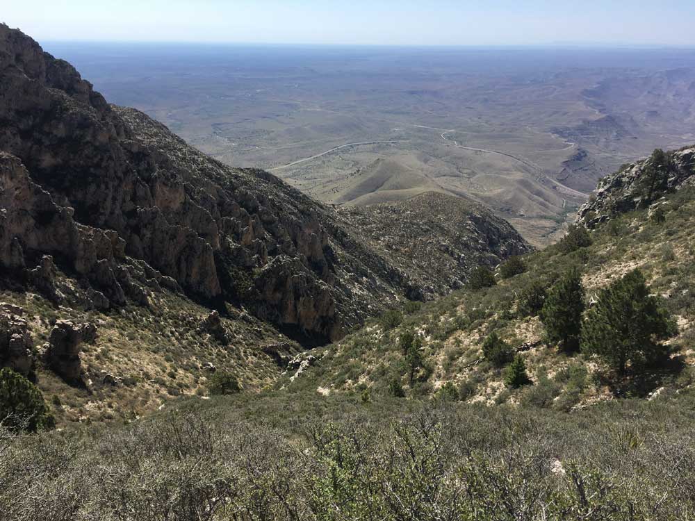
A maintained but strenuous stony trail climbs 4.25 miles each way with a 3,000-foot elevation gain, open year-round though best avoided during the height of summer heat.
See the Summit Marker
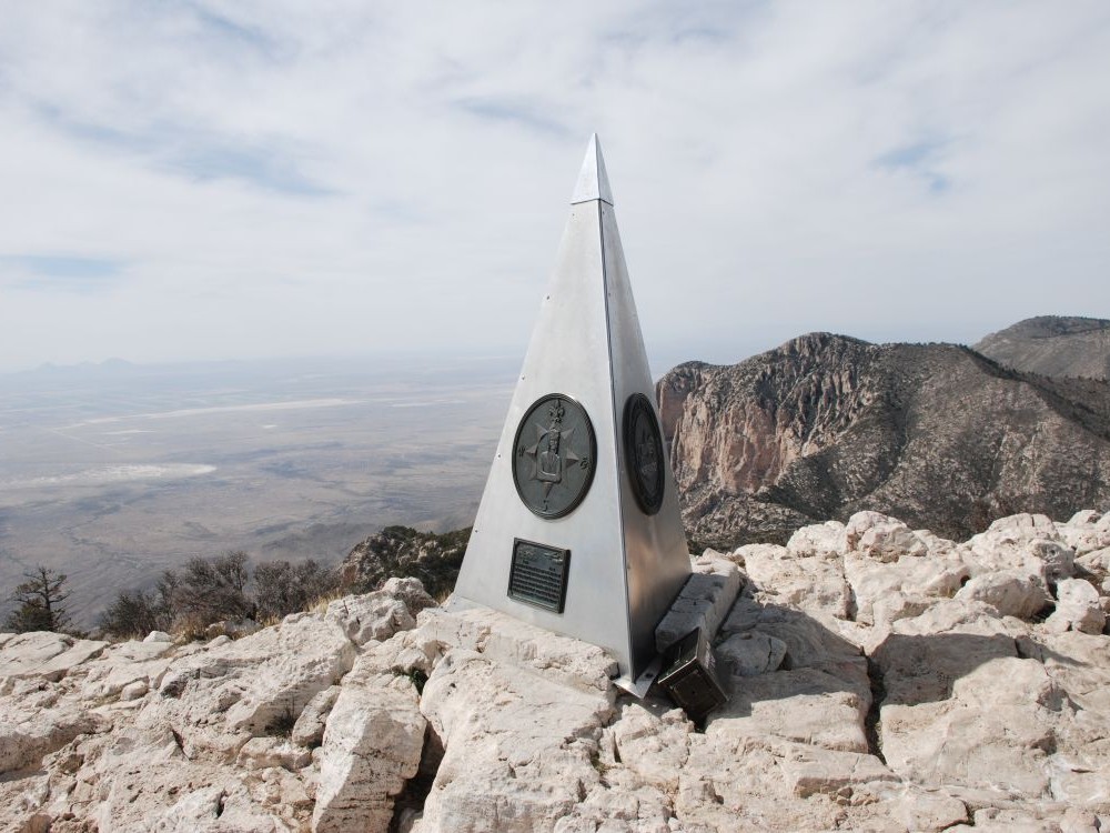
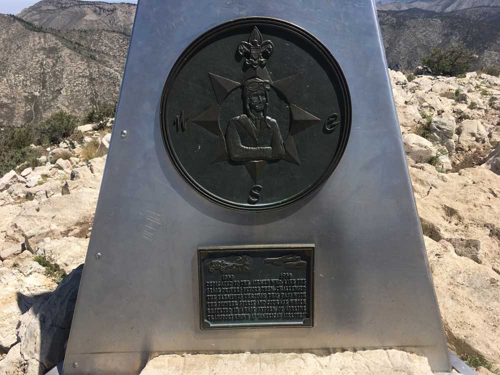
A stainless steel pyramid erected by American Airlines in 1958 marks the top, commemorating the 100th anniversary of the Butterfield Overland Mail stagecoach route. Its three sides carry the American Airlines logo, a U.S. Postal Service tribute to the Pony Express riders, and a Boy Scouts of America compass; a summit register is tucked into an ammunition box at its base.
This article uses material from the Wikipedia articles "Guadalupe Mountains" and "Guadalupe Peak", which are released under the Creative Commons Attribution-Share-Alike License 3.0.