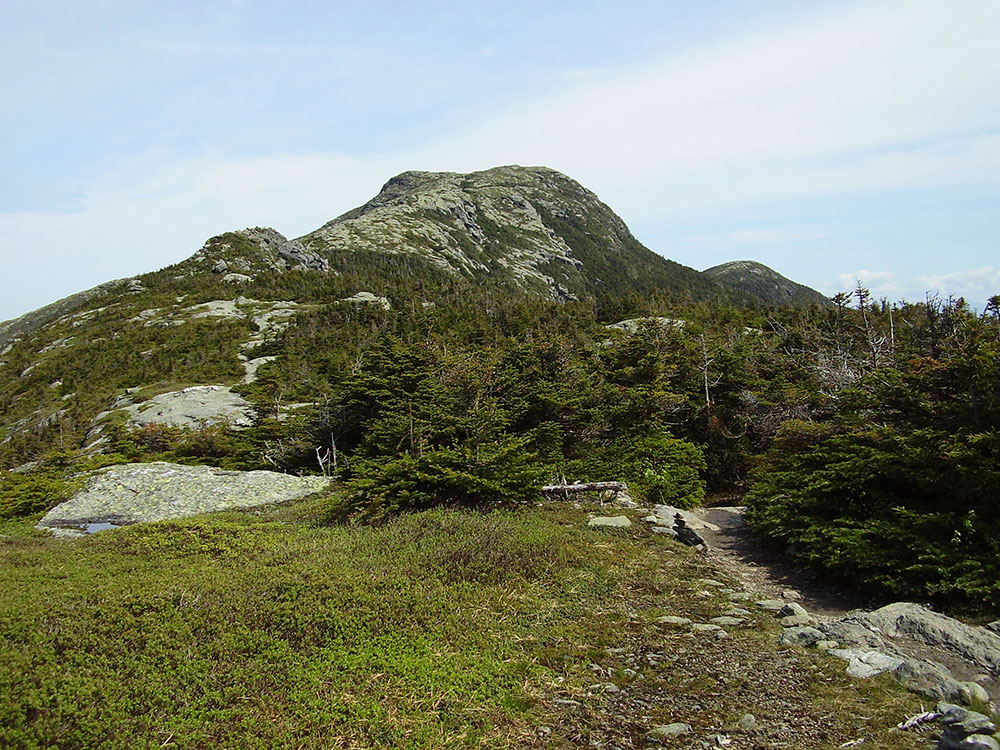
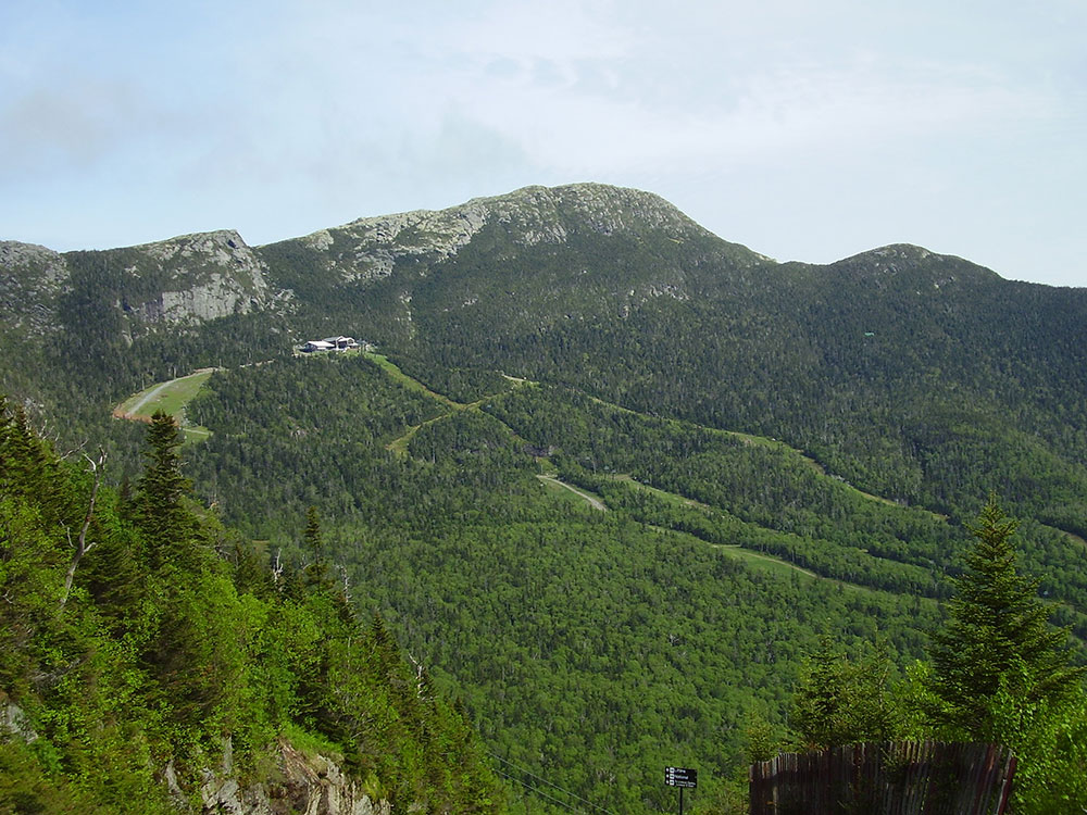
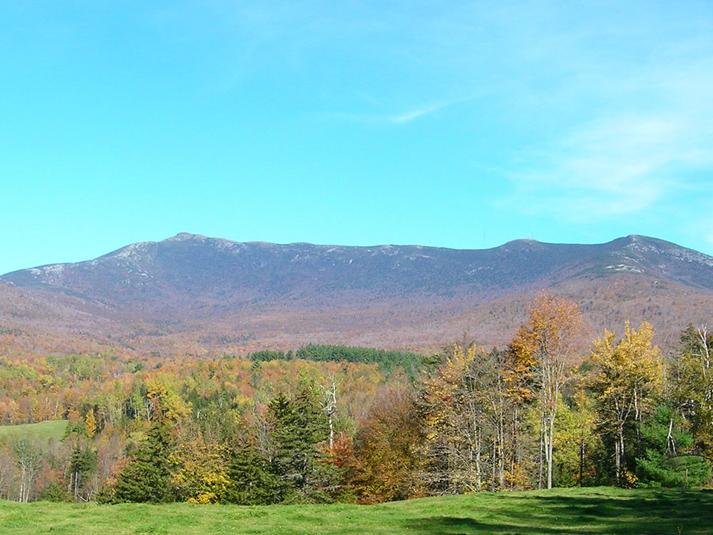
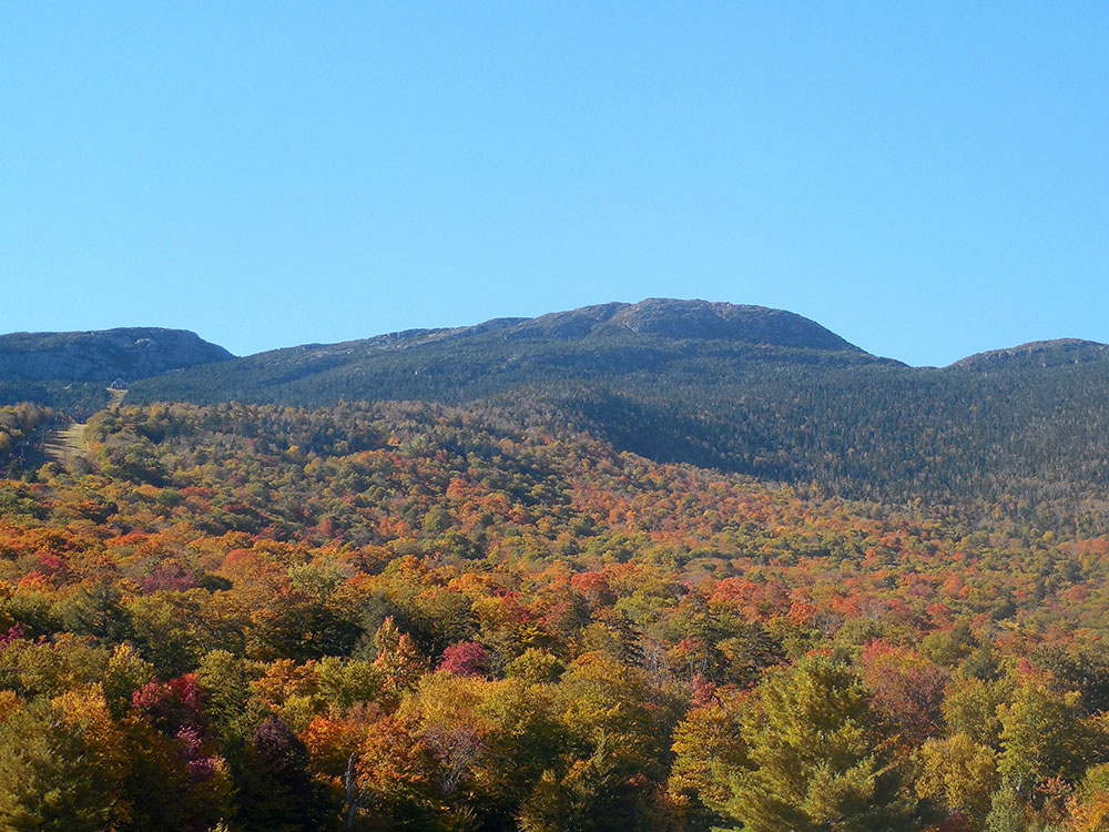
Highest mountain in Vermont known for having the appearance of a elongated human profile, with distinct forehead, nose, lips, chin, and Adam's apple
General Information
Access via state parks and trailheads is generally from sunrise to sunset
Seasonal road and facility closures may occur due to weather
Day-use fees apply at access points within Vermont State Parks such as Underhill State Park
Burlington, VT (approximately 20 mi)
How to Get There
From Stowe, VT (6 mi): Take VT‑108 South (Mountain Road) toward Smugglers’ Notch or Underhill access points, follow signs for Mount Mansfield trailheads or Underhill State Park, and park at designated trailhead lots.
Overview
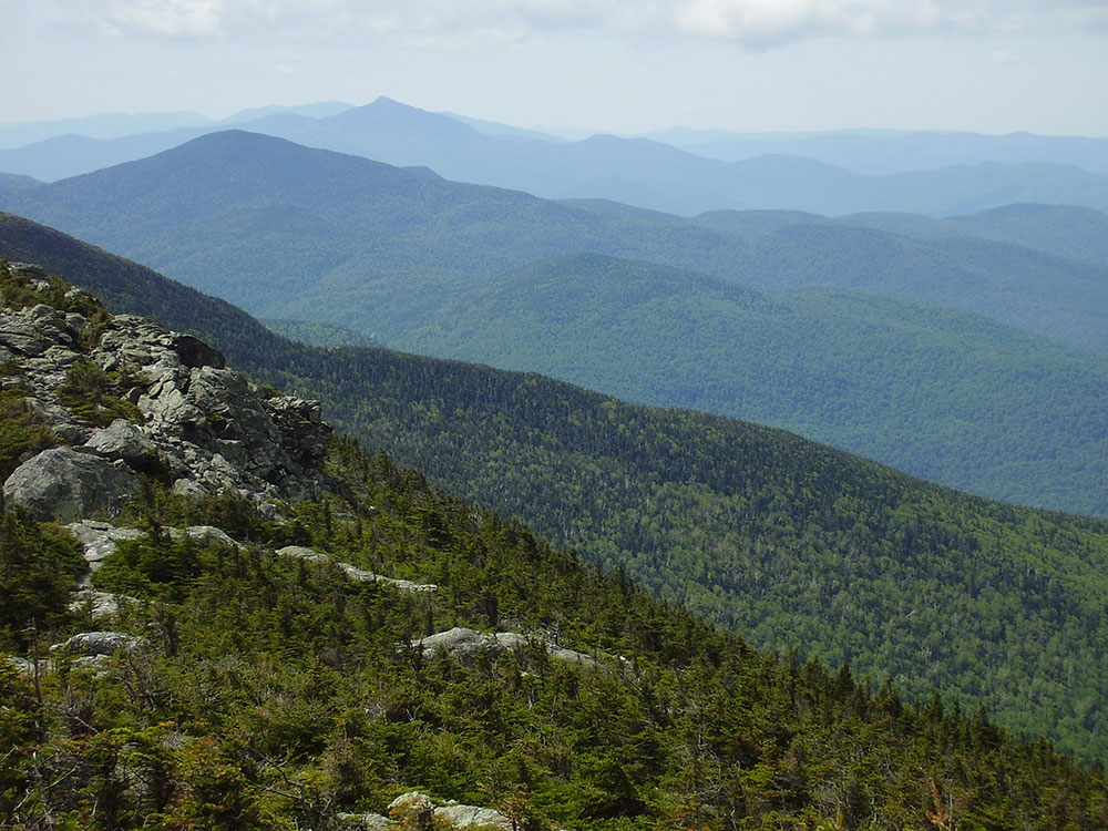
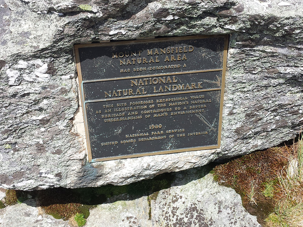
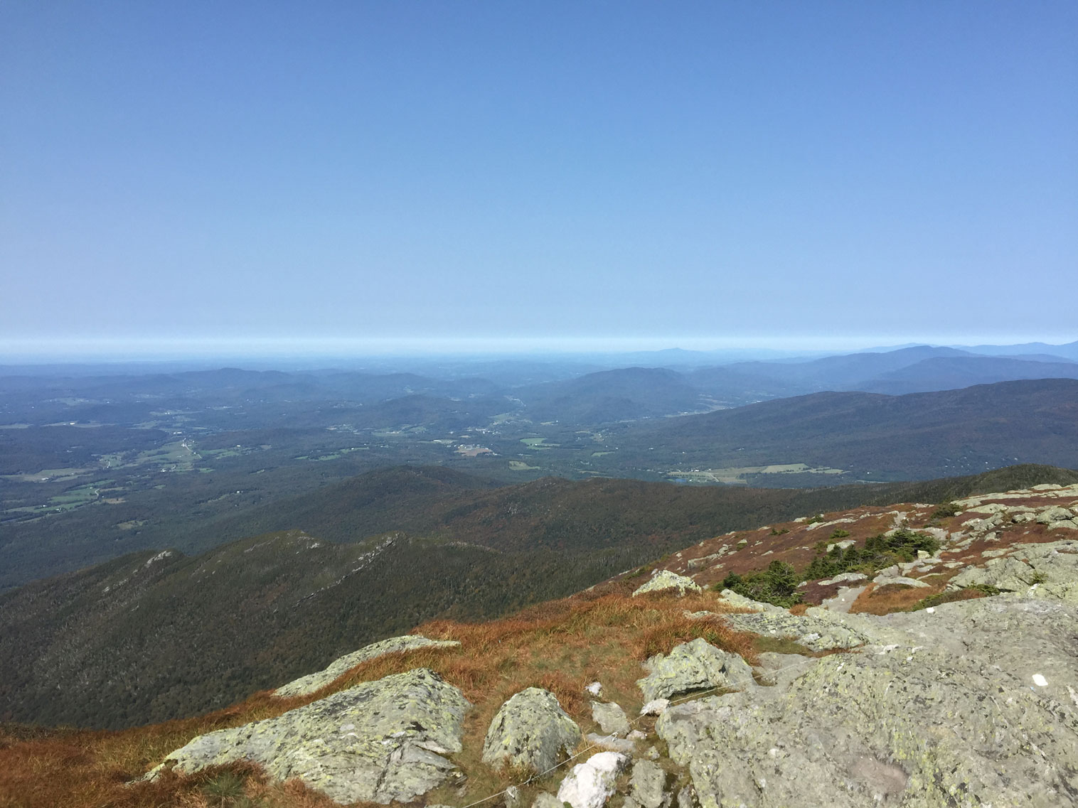
Mount Mansfield (4,395 feet) is the highest mountain in Vermont, on the Underhill-Stowe line. From east or west, its ridgeline looks like a human profile with a forehead, nose, lips, and chin ("The Chin" is the highest point). It holds about 200 acres of Ice Age alpine tundra, one of three places in Vermont where it survives, in the Mount Mansfield Natural Area (1980). The Long Trail runs along the ridge, and the summit is reachable by hiking trail or by the Stowe toll road.
Highlights
- The Nose: carries radio and TV towers
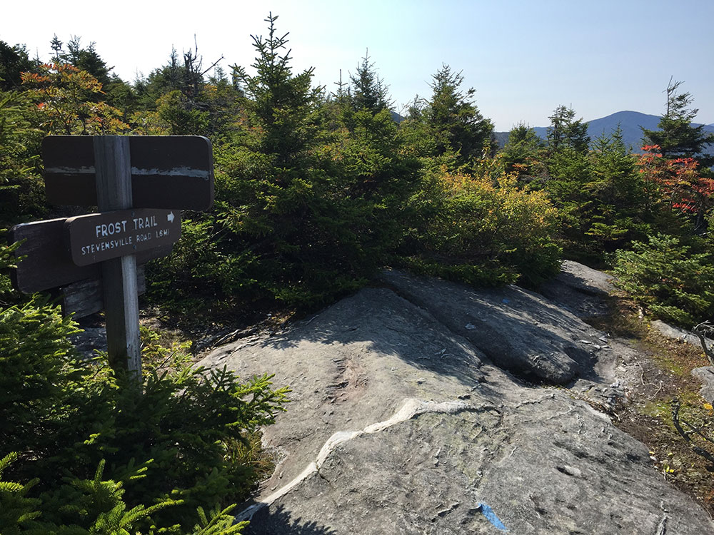
- Trails: the Long Trail, plus routes from Underhill State Park and Stowe
- Skiing: Stowe Mountain Resort operates on the mountain
This article uses material from the Wikipedia article "Mount Mansfield", which is released under the Creative Commons Attribution-Share-Alike License 3.0