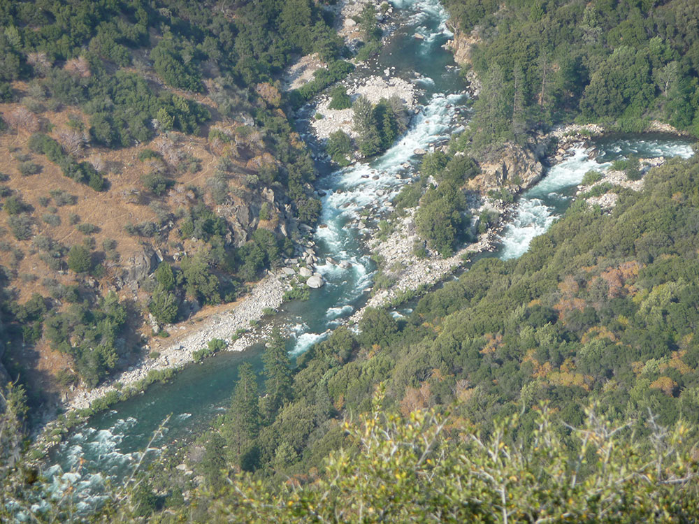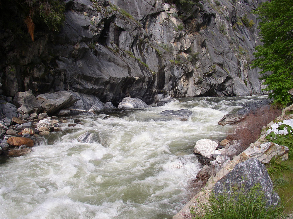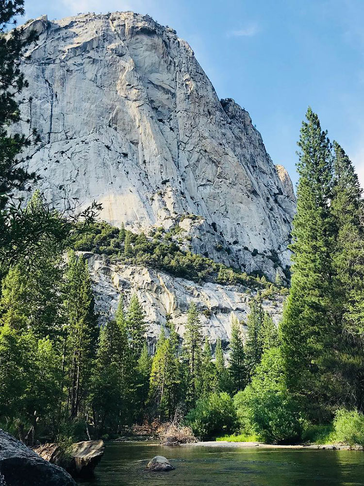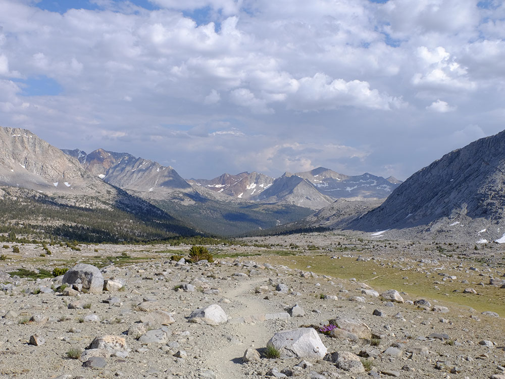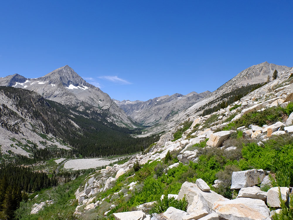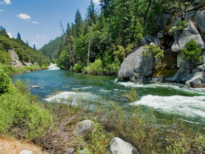

44.1-mile tributary of the Kings River that forms part of Kings Canyon, the namesake of Kings Canyon National Park and one of the deepest canyons in North America
General Information
Length:
4 miles roundtrip
Elevation Gain:
~900 feet
Difficulty
Moderate
Pet Policy:
Pets NOT allowed on trails
Seasons:
From mid April to November
Location:
Website:
How to Get There
Overview
The South Fork Kings River is a 44-mile river in Kings Canyon National Park in the Sierra Nevada, part of Kings Canyon, one of North America’s deepest canyons at 8,200 feet from rim to river. It rises in a high alpine basin near Mather Pass, is paralleled by the John Muir Trail and Pacific Crest Trail, and flows through a deep gorge to the Kings River. The remote upper river is reached only by backpacking.
This article uses material from the Wikipedia article "South Fork Kings River", which is released under the Creative Commons Attribution-Share-Alike License 3.0