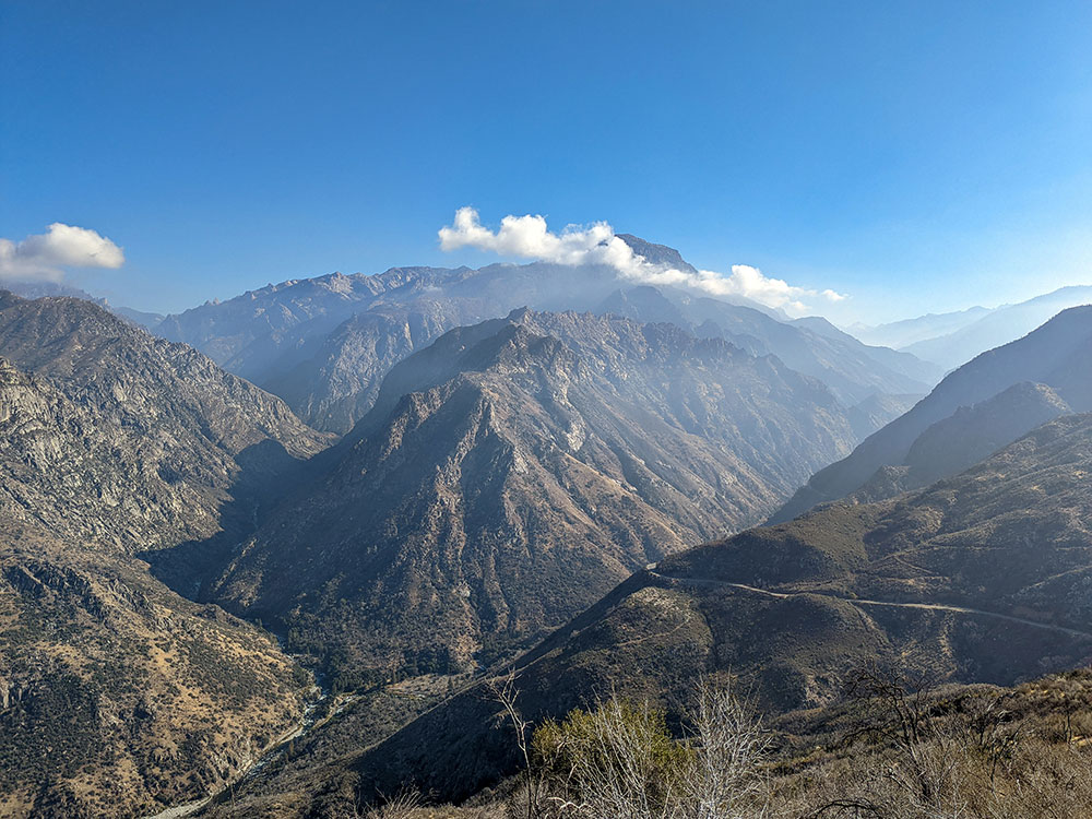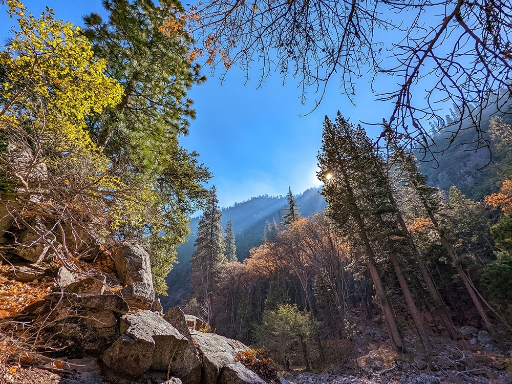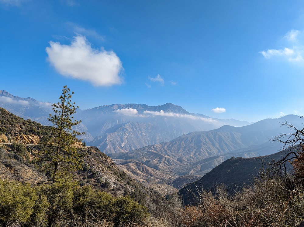

Glaciated valley features towering cliffs, tumbling waterfalls, and the powerful Kings River, whose canyon gave the park its name
How to Get There
From Kings Canyon Visitor Center: Head east on CA-180 for approximately 30 miles along Kings Canyon Scenic Byway until you reach Cedar Grove, located near Road's End in the heart of the canyon.
Overview
Cedar Grove is a spectacular glaciated valley on the Kings River in Kings Canyon National Park, with towering granite cliffs, waterfalls and meadows, at 4,600 feet along the scenic Kings Canyon Scenic Byway (Highway 180). North Dome (8,717 feet) and Grand Sentinel (8,518 feet) rise 3,500 feet above the valley floor, and many backcountry trails start near Roads End. The road is generally open from May through October and it is warmer here than in the sequoia groves.
Easy day hikes include Zumwalt Meadow, Roaring River Falls, Canyon View Lookout and Knapp’s Cabin.
This article uses material from nps.gov "Sequoia & Kings Canyon National Parks"
Featured Trails
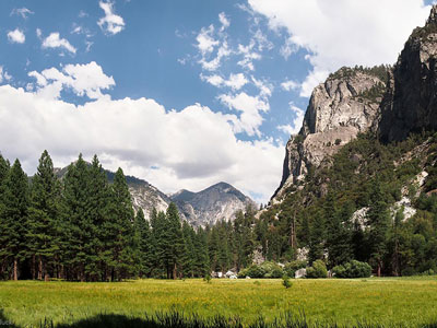
Jeff P from Berkeley, CA, USA, CC BY 2.0, via Wikimedia Commons; Image Size Adjusted

Zumwalt Meadow Trail
Length: 1.5 mile loop Elevation: 157 feet Location: 4.5 miles (7.2 km) east of Cedar Grove VillageThis 0.8 mile (1.3 km) trail passes high granite walls, lush meadows, and the Kings River. Once a loop trail, natural flooding in 2019 washed away sections of the trail passing through the meadow and paralelling the river. Today the trail crosses the Kings River via an expansion bridge, then offers views of the meadow from a trail passing through wooded areas and talus slopes. Beyond the meadow trail, the trail merges with the Kanawyer Loop trail, continuing another 0.8 miles (1.3 km) towards Road's End and Muir Rock. From the parking area, the trail to the expansion bridge is relatively level and may be suitable for some wheelchair users. Surfaces are unpaved, and both sandy and not firmly packed in some places.
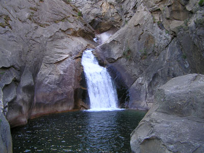
Jeff P from Berkeley, CA, USA, CC BY 2.0, via Wikimedia Commons; Image Size Adjusted
Roaring River Falls
Location: Parking area 3 miles (4.8 km) east of the Village roadA very short, shady walk to a powerful waterfall rushing through a granite chute. Paved, relatively accessible. In 2017, the paving was improved and the steepest grades were reduced.

Jeff P from Berkeley, CA, USA, CC BY 2.0, via Wikimedia Commons; Image Size Adjusted
Don Cecil Trail
Length: 9.3 miles round-tripElevation: 3339 feet
Location: Near the Cedar Grove visitor center, an access trail leads to the trailhead across Highway 180
The Don Cecil Trail climbs the relatively cool north-facing slope of the canyon. This historic trail was the major access route to Cedar Grove prior to the completion of Highway 180 in 1939.

Jeff P from Berkeley, CA, USA, CC BY 2.0, via Wikimedia Commons; Image Size Adjusted
Lookout Peak
Length: 13.5 miles round-tripElevation: 4291 feet
Location: Near the Cedar Grove visitor center, an access trail leads to the trailhead across Highway 180.
Beyond Sheep Creek, the climb to Lookout Peak provides an incredible panorama of the park's backcountry. This strenuous, all-day hike is 13 miles round trip and climbs some 4000' to the summit.
Jeff P from Berkeley, CA, USA, CC BY 2.0, via Wikimedia Commons; Image Size Adjusted
Mist Falls
Length: 8.7 miles round-tripElevation: 879 feet
Location: Road's End and start at the trailhead just past the Road's End Permit Station.
This sandy trail follows the glaciated South Fork Canyon through forest and chaparral, past an impressive show of rapids and cascades, to one of the largest waterfalls in Sequoia and Kings Canyon National Parks. The first part of this 8-mile round trip is relatively flat; during the last mile to the falls, the trail gains 600'. The average time for this trip is 4 to 5 hours.