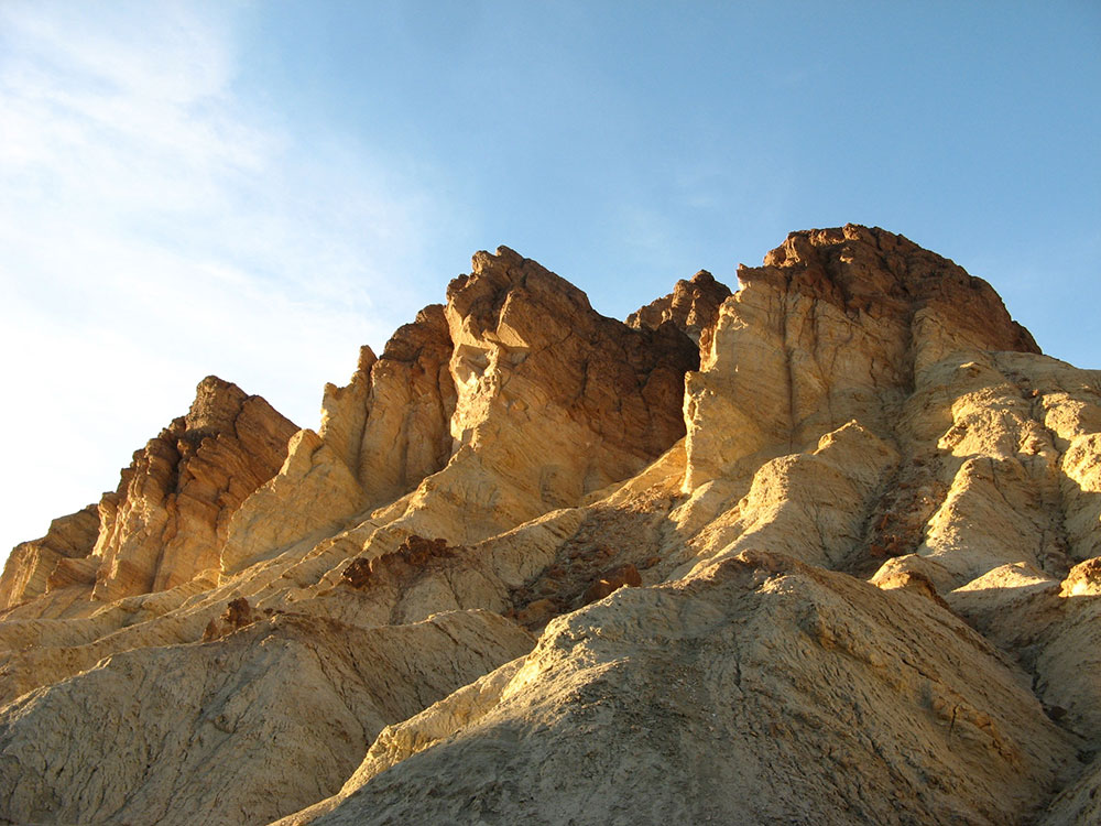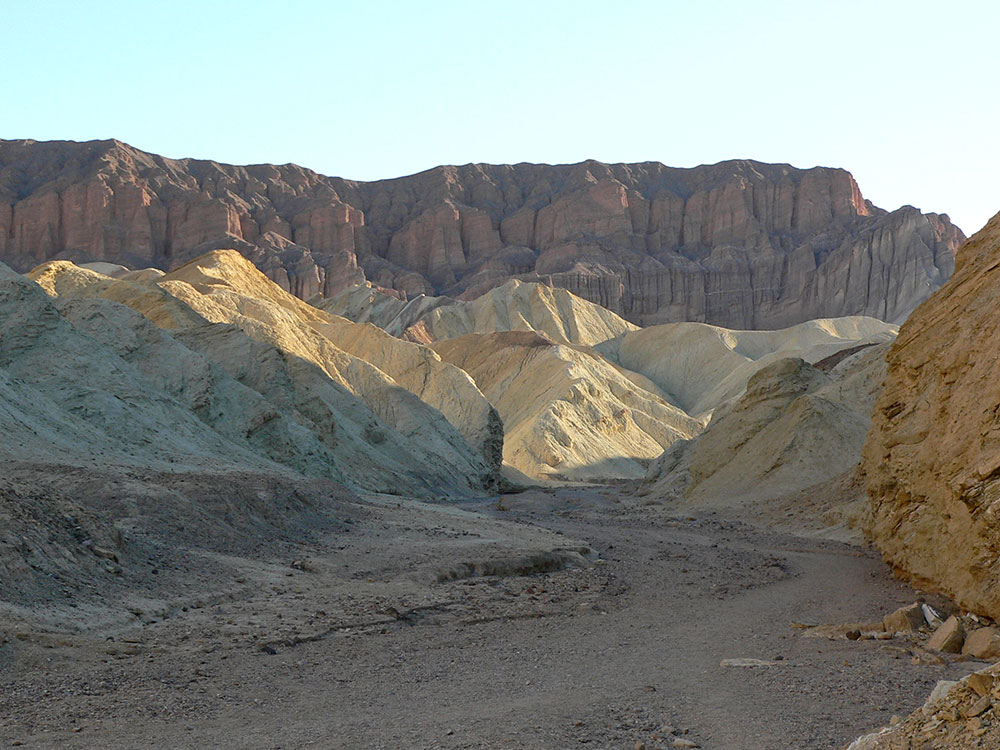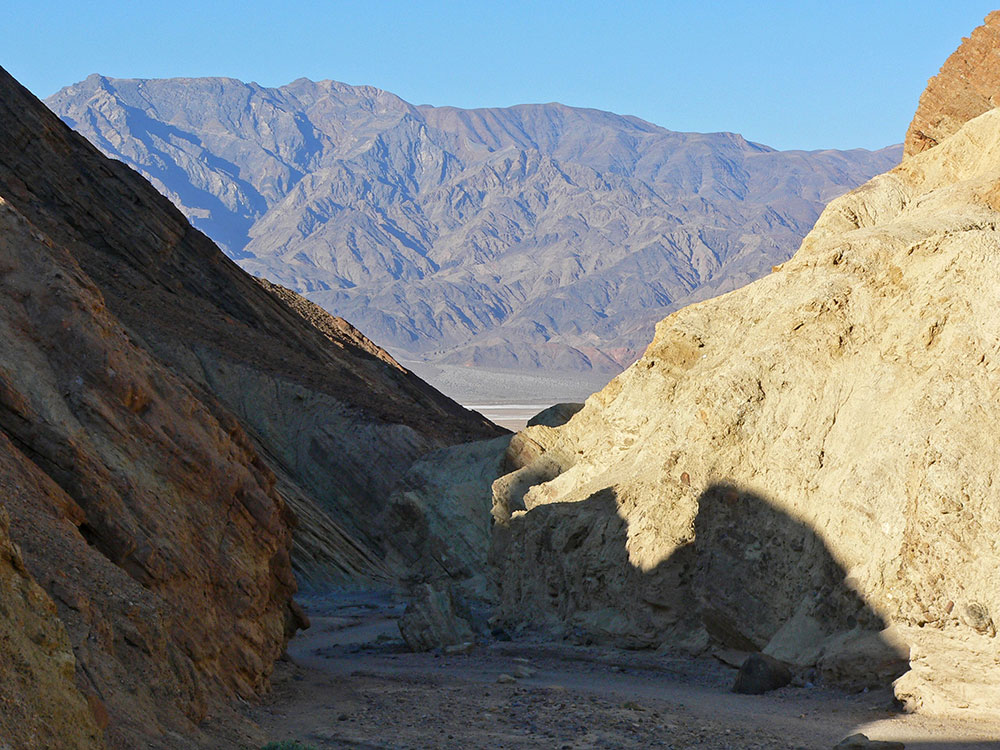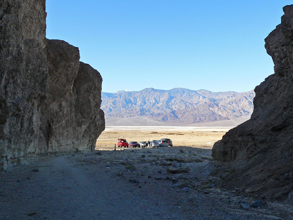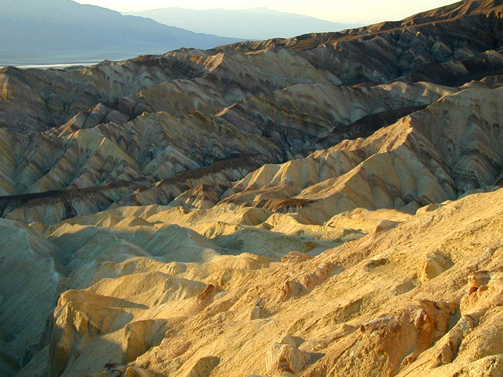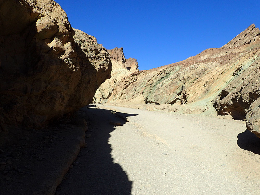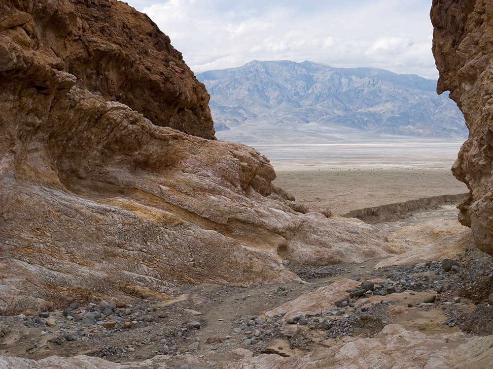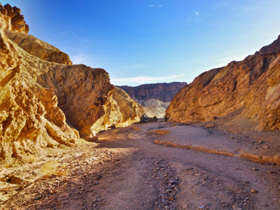

A labyrinth landscape of golden colored hills and winding narrow canyons create hiking options ranging from easy strolls to strenuous adventures
General Information
Best visited early morning or late afternoon to avoid heat
Motorcycle (7-day pass): $25
Individual (on foot or bicycle, 7-day pass): $15
Annual Death Valley Pass: $55
America the Beautiful Pass: $80
Beatty, NV (~50 min)
Pahrump, NV (~1.5 hrs)
Summer: Not recommended due to extreme heat
How to Get There
From Furnace Creek (3.3 mi): Drive south on CA-190 and turn right onto Badwater Road; continue for 2 miles to reach the Golden Canyon parking area.
Overview
A labyrinth landscape of golden colored hills and winding narrow canyons create hiking options ranging from easy strolls to strenuous adventures. The most popular routes can be combined with one another for longer adventures, up about 4.5 miles.This article uses material from the Wikipedia article "Places of interest in the Death Valley area", which is released under the Creative Commons Attribution-Share-Alike License 3.0
This article uses material from nps.gov "Death Valley National Park"

Badlands Loop
Length: 2.7 mi loopElevation: 535 ft
Location: Zabriskie Point on CA-190 located 3.5 miles east of Badwater Road.
The Badlands Loop starts from the most popular viewpoint in the park - Zabriskie Point. The loops winds through colorful badlands composed of an ancient lakebed. Pay close attention as you weave through this maze of narrow drainages looking for small signs at each major intersection.

Golden Canyon to Red Cathedral
Length: 3 miles out and back tripElevation: 577 ft
Location: Golden Canyon Trailhead located 2 miles south of CA-190 on Badwater Road.
The route up Golden Canyon is gradually uphill through a rocky corridor of towering golden walls. Minor rock scrambling is necessary to complete the entire route as you climb over short (4ft / 1.2m) ledges and duck under low overhangs. Click on the map above for more details.

Gower Gulch Loop
Length: 4.3 mile loop. Adding the spur trail to Red Cathedral adds an additional mile round trip to the route.Elevation: 850ft
Location: Start at the Golden Canyon Trailhead located 2 miles south of CA-190 on Badwater Road.
Swimming, sunbathing, surfing & other outdoor recreation draws crowds to this scenic, urban beach and the historic Hotel del Coronado --highlights-- a 130-year-old National Historic Landmark --highlights-- is perched just beyond the sand.

Complete Circuit
Length: 7.8 mile loopElevation: 834ft
Location: Start at at Zabriskie Point or Golden Canyon parking lots.
Don't miss a thing by completing this classic trip up Golden Canyon to the red fluted walls of Red Cathedral. Next, wind your way through the maze of colorful badlands up to iconic Zabriskie Point, an ideal place for a lunch break where you can enjoy the most popular viewpoint in the park. Finally, make your way down to Gower Gulch where it's all downhill between towering back to the valley. Click on the map above for details.