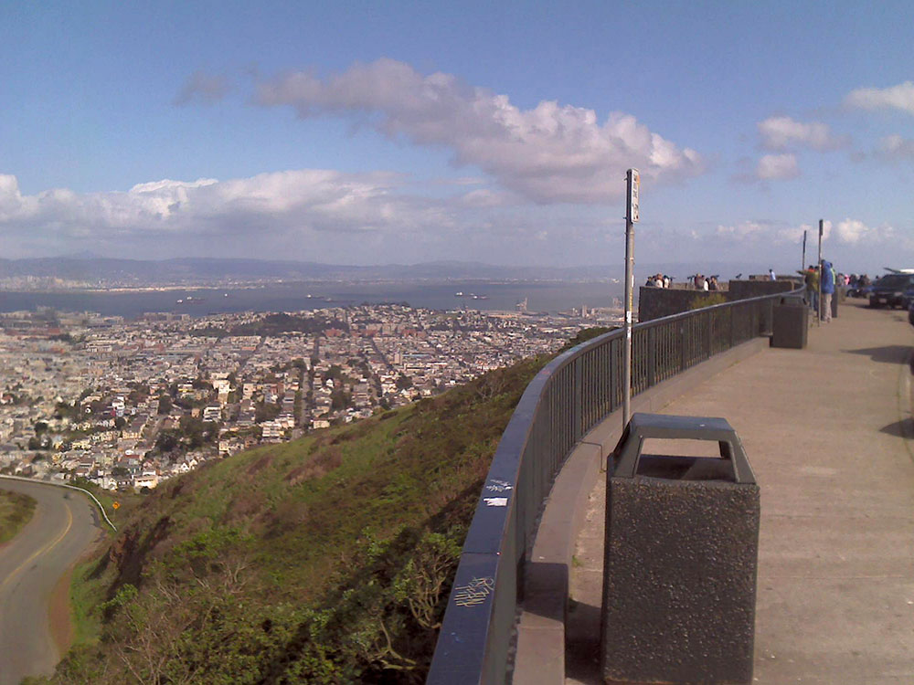
Two prominent hills with an elevation of about 925 feet (282 m) located near the geographic center of San Francisco
How to Get There
Head southwest on Market St toward 12th St. Continue onto Portola Dr. Turn right onto Twin Peaks Blvd
Overview
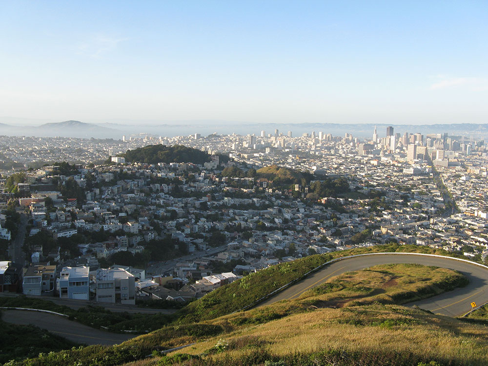
Twin Peaks are two hills of about 925 feet near the geographic center of San Francisco, known as “Eureka” and “Noe,” with sweeping panoramic views of the whole city, the bay and the Golden Gate Bridge from a viewpoint at the summit. The peaks divide the summer fog, so the west slopes are often foggy and windy while the east side is sunnier. Since a 2016 traffic-calming pilot, the east side of the road around the peaks is reserved for pedestrians and bicycles.
This article uses material from the Wikipedia article "Twin Peaks (San Francisco)", which is released under the Creative Commons Attribution-Share-Alike License 3.0
Featured Locations and Trails
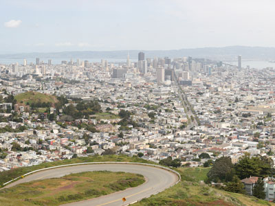
Twin Peaks: Eureka Peak and Noe Peak
0.8 mile round-trip, 104 feet

-1000.jpg)
.JPG)